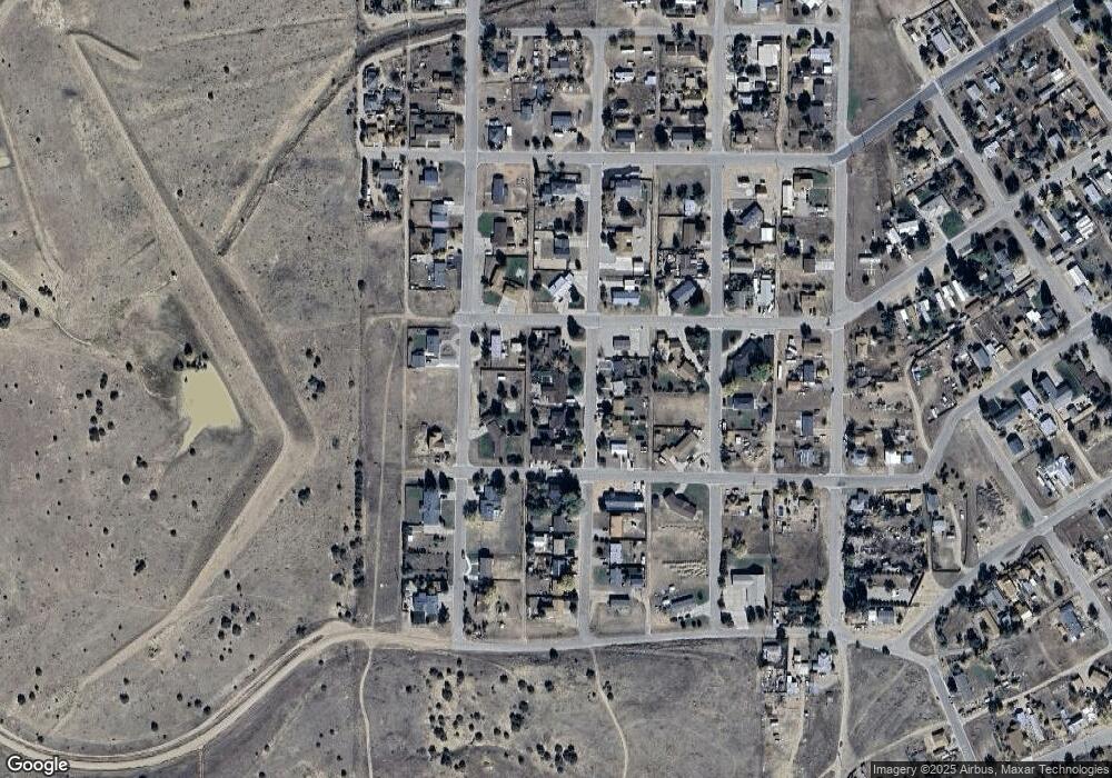
223 Stout Ave Walsenburg, CO 81089
Estimated Value: $179,000 - $282,000
3
Beds
2
Baths
2,487
Sq Ft
$95/Sq Ft
Est. Value
About This Home
This home is located at 223 Stout Ave, Walsenburg, CO 81089 and is currently estimated at $237,046, approximately $95 per square foot. 223 Stout Ave is a home located in Huerfano County with nearby schools including Walsenburg Jr. Sr. High School.
Ownership History
Date
Name
Owned For
Owner Type
Purchase Details
Closed on
Mar 26, 2018
Sold by
Avery Kay Beth and Avery Charles W
Bought by
Vigil Veronica and Barela Jordan
Current Estimated Value
Home Financials for this Owner
Home Financials are based on the most recent Mortgage that was taken out on this home.
Original Mortgage
$79,980
Outstanding Balance
$68,589
Interest Rate
4.32%
Mortgage Type
Purchase Money Mortgage
Estimated Equity
$168,457
Purchase Details
Closed on
May 29, 2009
Sold by
Gerardo Theresa A and Kiefer Joe
Bought by
Avery Charles W and Avery Kay Beth
Create a Home Valuation Report for This Property
The Home Valuation Report is an in-depth analysis detailing your home's value as well as a comparison with similar homes in the area
Home Values in the Area
Average Home Value in this Area
Purchase History
| Date | Buyer | Sale Price | Title Company |
|---|---|---|---|
| Vigil Veronica | $86,000 | None Available | |
| Avery Charles W | $85,000 | None Available |
Source: Public Records
Mortgage History
| Date | Status | Borrower | Loan Amount |
|---|---|---|---|
| Open | Vigil Veronica | $79,980 |
Source: Public Records
Tax History Compared to Growth
Tax History
| Year | Tax Paid | Tax Assessment Tax Assessment Total Assessment is a certain percentage of the fair market value that is determined by local assessors to be the total taxable value of land and additions on the property. | Land | Improvement |
|---|---|---|---|---|
| 2024 | $509 | $5,885 | $350 | $5,535 |
| 2023 | $508 | $5,885 | $348 | $5,537 |
| 2022 | $719 | $8,342 | $591 | $7,751 |
| 2021 | $775 | $8,582 | $608 | $7,974 |
| 2020 | $649 | $7,902 | $608 | $7,294 |
| 2019 | $640 | $7,902 | $608 | $7,294 |
| 2018 | $626 | $7,959 | $612 | $7,347 |
| 2017 | $617 | $7,959 | $612 | $7,347 |
| 2016 | $702 | $9,365 | $677 | $8,688 |
| 2015 | $599 | $9,365 | $677 | $8,688 |
| 2014 | $599 | $9,137 | $677 | $8,460 |
Source: Public Records
Map
Nearby Homes