Estimated Value: $964,543
Studio
--
Bath
1,236
Sq Ft
$780/Sq Ft
Est. Value
About This Home
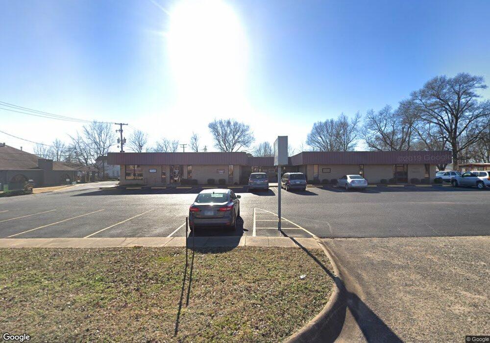
This home is located at 223 W Main St, Cabot, AR 72023 and is currently estimated at $964,543, approximately $780 per square foot. 223 W Main St is a home located in Lonoke County with nearby schools including Westside Elementary School, Cabot Junior High South, and Cabot Middle School South.
Ownership History
Date
Name
Owned For
Owner Type
Purchase Details
Closed on
Apr 24, 2014
Sold by
Lance L And Leann V Hanshaw Living Trust
Bought by
R4 Enterprises Llc
Current Estimated Value
Purchase Details
Closed on
Sep 22, 1987
Bought by
Professional Associates
Purchase Details
Closed on
Sep 12, 1985
Bought by
Prof and Assoc
Purchase Details
Closed on
Oct 11, 1984
Bought by
Prof and Assoc
Purchase Details
Closed on
Apr 19, 1983
Bought by
Prof Assoc
Purchase Details
Closed on
Sep 19, 1980
Bought by
Prof and Assoc
Create a Home Valuation Report for This Property
The Home Valuation Report is an in-depth analysis detailing your home's value as well as a comparison with similar homes in the area
Purchase History
| Date | Buyer | Sale Price | Title Company |
|---|---|---|---|
| R4 Enterprises Llc | -- | -- | |
| Professional Associates | -- | -- | |
| Prof | -- | -- | |
| Prof | -- | -- | |
| Prof Assoc | -- | -- | |
| Prof | $70,000 | -- | |
| Prof | $70,000 | -- |
Source: Public Records
Tax History
| Year | Tax Paid | Tax Assessment Tax Assessment Total Assessment is a certain percentage of the fair market value that is determined by local assessors to be the total taxable value of land and additions on the property. | Land | Improvement |
|---|---|---|---|---|
| 2025 | $5,827 | $114,470 | $17,180 | $97,290 |
| 2024 | $5,827 | $114,470 | $17,180 | $97,290 |
| 2023 | $5,827 | $114,470 | $17,180 | $97,290 |
| 2022 | $5,827 | $114,470 | $17,180 | $97,290 |
| 2021 | $5,827 | $114,470 | $17,180 | $97,290 |
| 2020 | $5,358 | $105,260 | $17,180 | $88,080 |
| 2019 | $5,358 | $105,260 | $17,180 | $88,080 |
| 2018 | $5,200 | $105,260 | $17,180 | $88,080 |
| 2017 | $4,762 | $105,260 | $17,180 | $88,080 |
| 2016 | $5,125 | $105,260 | $17,180 | $88,080 |
| 2015 | $4,329 | $94,320 | $15,620 | $78,700 |
| 2014 | $4,659 | $119,260 | $15,620 | $103,640 |
Source: Public Records
Map
Nearby Homes
- 602 W Locust St
- 00 Kerr Station Rd
- 509 E Myrtle St
- 38 S 10th St
- 12 Bellaire Dr
- 117 N A & B Park St
- 22 Century Cir
- 210 W Cherry St
- 1A Arkansas 89
- 3A Arkansas 89
- 4A Arkansas 89
- 3C Arkansas 89
- 2A Arkansas 89
- 1C Arkansas 89
- 2C Arkansas 89
- 64 Saint John St
- 113 Walnut St
- 18 Glendale Dr
- 110 N Monroe St
- 25 Glendale Dr
- 107 S 3rd St
- 105 S 3rd St
- 225 W Main St
- 217 W Main St
- 221 W Main St
- 104 S 3rd St
- 4 S 2nd St
- 200,202,305, AB Elm and Third
- 110 S 3rd St
- Lot 144 Magness Creek Sub
- Lot 19 Pioneer Springs
- 215 W Elm St Unit 223
- 315 W Main St
- N Second Street (Ste A)
- N Second Street (Ste E) Unit Space B
- N Second Street (Ste F)
- N Second Street (Ste D)
- N Second Street (Ste H)
- 123 S 2nd St
- 206 S 2nd St
Your Personal Tour Guide
Ask me questions while you tour the home.