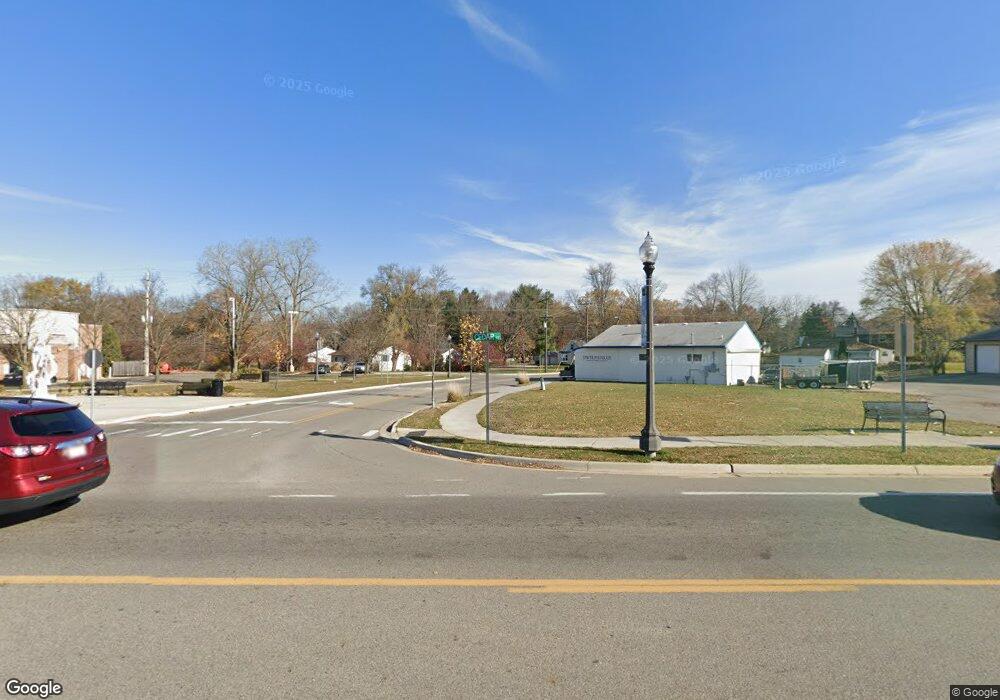
Estimated Value: $265,629
Studio
2
Baths
1,868
Sq Ft
$142/Sq Ft
Est. Value
About This Home
This home is located at 2230 Cedar St, Holt, MI 48842 and is currently estimated at $265,629, approximately $142 per square foot. 2230 Cedar St is a home located in Ingham County with nearby schools including Elliott Elementary School, Hope Middle School, and Holt Junior High School.
Ownership History
Date
Name
Owned For
Owner Type
Purchase Details
Closed on
Mar 29, 2016
Sold by
The Ruth A Adams Trust No 1
Bought by
Delhi Charter Township Downtown Developm
Current Estimated Value
Purchase Details
Closed on
May 8, 2007
Sold by
Stearns Dean
Bought by
Valles Lorena P
Purchase Details
Closed on
Jul 14, 2006
Sold by
Adams Ruth A
Bought by
Adams Ruth A and Ruth A Adams Trust #1
Purchase Details
Closed on
Jan 4, 2005
Sold by
Adams John R and Adams Ruth A
Bought by
Adams John R and Adams Ruth A
Create a Home Valuation Report for This Property
The Home Valuation Report is an in-depth analysis detailing your home's value as well as a comparison with similar homes in the area
Home Values in the Area
Average Home Value in this Area
Purchase History
| Date | Buyer | Sale Price | Title Company |
|---|---|---|---|
| Delhi Charter Township Downtown Developm | $140,000 | None Available | |
| Valles Lorena P | -- | None Available | |
| Adams Ruth A | -- | None Available | |
| Adams Ruth A | -- | None Available | |
| Adams John R | -- | -- |
Source: Public Records
Tax History
| Year | Tax Paid | Tax Assessment Tax Assessment Total Assessment is a certain percentage of the fair market value that is determined by local assessors to be the total taxable value of land and additions on the property. | Land | Improvement |
|---|---|---|---|---|
| 2025 | $19 | $0 | $0 | $0 |
| 2024 | $17 | $0 | $0 | $0 |
| 2023 | $17 | $0 | $0 | $0 |
| 2022 | $17 | $0 | $0 | $0 |
| 2021 | $13 | $0 | $0 | $0 |
| 2020 | $28 | $0 | $0 | $0 |
| 2019 | $28 | $0 | $0 | $0 |
| 2018 | $0 | $0 | $0 | $0 |
| 2017 | $0 | $0 | $0 | $0 |
| 2016 | $9,482 | $143,100 | $53,700 | $89,400 |
| 2015 | $9,288 | $142,500 | $107,490 | $35,010 |
| 2014 | $9,288 | $138,400 | $107,490 | $30,910 |
Source: Public Records
Map
Nearby Homes
- 2201 Bertha St
- 4445 North St
- 2216 Coolridge Rd
- 4615 Tolland Ave
- 4641 Tolland Ave
- 4662 Tolland Ave
- 4304 Bond Ave
- 4360 Holt Rd Unit 9
- 4282 Woodworth Ave
- 4592 Holt Rd
- 2245 Main St
- 2541 Selma St
- 4348 Norway St
- 7011 Aurelius Rd
- 1942 Walnut St
- 4245 Holt Rd
- 2545 Limerick Cir Unit 8
- 0 Aurelius Rd Unit 282659
- 2564 Winterberry St
- 7061 W Bickett Blvd
- 2215 Cedar St
- 2221 Cedar St
- 0 Church St Unit 210066590
- VL N Fish Lake Rd
- 2263 N Vernon Ave
- 4447 Keller Rd
- 2206 Cedar St
- 2224 Aurelius Rd
- 2202 Cedar St
- 2205 Cedar St
- 2275 N Vernon Ave
- 4450 Keller Rd
- 4443 Keller Rd
- 2241 Cedar St
- 2211 Cedar St
- 2198 Cedar St
- 2204 Cedar St
- 4444 Keller Rd
- 4439 Keller Rd
- 2281 N Vernon Ave
