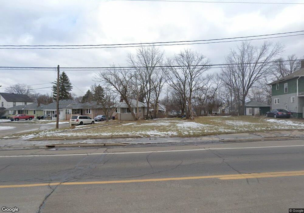
2230 Corunna Rd Flint, MI 48503
Southwest Flint NeighborhoodEstimated Value: $15,565
6
Beds
2
Baths
2,132
Sq Ft
$7/Sq Ft
Est. Value
About This Home
This home is located at 2230 Corunna Rd, Flint, MI 48503 and is currently estimated at $15,565, approximately $7 per square foot. 2230 Corunna Rd is a home located in Genesee County with nearby schools including Eisenhower School, St. Paul Lutheran School, and St John Vianney Catholic School.
Ownership History
Date
Name
Owned For
Owner Type
Purchase Details
Closed on
Dec 20, 2013
Sold by
Genesee County Treasurer
Bought by
Genesee County Land Bank
Current Estimated Value
Purchase Details
Closed on
Apr 7, 2011
Sold by
Dunnivant Mattory
Bought by
Mcmullen Cory
Purchase Details
Closed on
Nov 24, 2010
Sold by
Cherry Deborah L
Bought by
Dunnivant Mallory
Purchase Details
Closed on
Oct 16, 2007
Sold by
Charles R Shafer Trust
Bought by
Perry Angela
Purchase Details
Closed on
Nov 15, 2006
Sold by
Lamay Denise M and Lamay Timothy D
Bought by
Charles R Shafer Trust
Create a Home Valuation Report for This Property
The Home Valuation Report is an in-depth analysis detailing your home's value as well as a comparison with similar homes in the area
Home Values in the Area
Average Home Value in this Area
Purchase History
We collect this data history from publicly available records. To have your information removed, we recommend requesting removal directly through your county’s website.
| Date | Buyer | Sale Price | Title Company |
|---|---|---|---|
| Genesee County Land Bank | -- | None Available | |
| Mcmullen Cory | -- | None Available | |
| Dunnivant Mallory | $300 | None Available | |
| Perry Angela | $8,500 | Sargents Title Company | |
| Charles R Shafer Trust | $26,764 | None Available |
Source: Public Records
Tax History
| Year | Tax Paid | Tax Assessment Tax Assessment Total Assessment is a certain percentage of the fair market value that is determined by local assessors to be the total taxable value of land and additions on the property. | Land | Improvement |
|---|---|---|---|---|
| 2025 | -- | $0 | $0 | $0 |
| 2024 | -- | $0 | $0 | $0 |
| 2023 | -- | $0 | $0 | $0 |
| 2022 | $0 | $0 | $0 | $0 |
| 2021 | $0 | $0 | $0 | $0 |
| 2020 | $0 | $0 | $0 | $0 |
| 2019 | $0 | $0 | $0 | $0 |
| 2018 | $0 | $0 | $0 | $0 |
| 2017 | $0 | $0 | $0 | $0 |
| 2016 | $0 | $0 | $0 | $0 |
| 2015 | -- | $0 | $0 | $0 |
| 2014 | -- | $0 | $0 | $0 |
| 2012 | -- | $7,100 | $0 | $0 |
Source: Public Records
Map
Nearby Homes
- 2310 Gibson St
- 2124 Swayze St
- 2410 Corunna Rd
- 2437 Zimmerman St
- 2015 W Court St
- 2509 Corunna Rd
- 2433 Brown St
- 2554 Swayze St
- 2614 Corunna Rd
- 2618 Brown St
- 2618 Lester Ct
- 1506 Gainey Ave
- 2810 Gibson St
- 1820 Chelsea Cir
- 2830 Corunna Rd
- 701 Saint Clair Ave
- 911 Hughes Ave
- 1425 Knight Ave
- 2817 Yale St
- 915 Stocker Ave
Your Personal Tour Guide
Ask me questions while you tour the home.