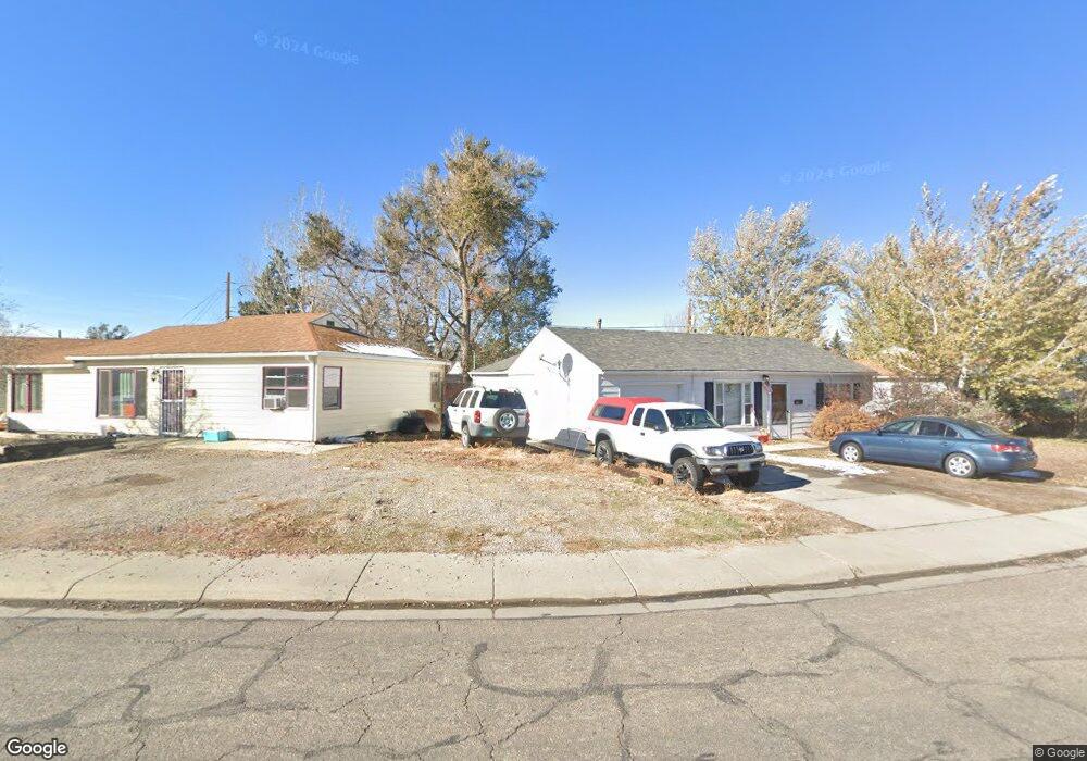
2230 Dale Dr Unit E A St Casper, WY 82609
East Casper NeighborhoodEstimated Value: $202,000 - $227,000
2
Beds
1
Bath
1,008
Sq Ft
$216/Sq Ft
Est. Value
About This Home
This home is located at 2230 Dale Dr Unit E A St, Casper, WY 82609 and is currently estimated at $217,744, approximately $216 per square foot. 2230 Dale Dr Unit E A St is a home located in Natrona County.
Ownership History
Date
Name
Owned For
Owner Type
Purchase Details
Closed on
Apr 14, 2023
Sold by
Aloisio John D and Aloisio Stacy
Bought by
Phelps Patrick Edwin
Current Estimated Value
Home Financials for this Owner
Home Financials are based on the most recent Mortgage that was taken out on this home.
Original Mortgage
$186,558
Outstanding Balance
$181,420
Interest Rate
6.65%
Mortgage Type
FHA
Estimated Equity
$36,324
Purchase Details
Closed on
Apr 3, 2019
Sold by
Dean Betty J
Bought by
Aloisio John D
Purchase Details
Closed on
Jul 21, 2017
Sold by
Porter Christopher E and Porter Melisa M
Bought by
Dean Jerry J and Dean Betty J
Purchase Details
Closed on
Jun 6, 2014
Sold by
Justin P Justin P
Bought by
Porter Christopher E and Porter Melissa M
Create a Home Valuation Report for This Property
The Home Valuation Report is an in-depth analysis detailing your home's value as well as a comparison with similar homes in the area
Home Values in the Area
Average Home Value in this Area
Purchase History
| Date | Buyer | Sale Price | Title Company |
|---|---|---|---|
| Phelps Patrick Edwin | -- | Rocky Mountain Title | |
| Aloisio John D | -- | American Title | |
| Dean Betty J | -- | American Title | |
| Dean Jerry J | -- | First American Title | |
| Porter Christopher E | -- | -- |
Source: Public Records
Mortgage History
| Date | Status | Borrower | Loan Amount |
|---|---|---|---|
| Open | Phelps Patrick Edwin | $186,558 |
Source: Public Records
Tax History Compared to Growth
Tax History
| Year | Tax Paid | Tax Assessment Tax Assessment Total Assessment is a certain percentage of the fair market value that is determined by local assessors to be the total taxable value of land and additions on the property. | Land | Improvement |
|---|---|---|---|---|
| 2025 | $963 | $13,410 | $3,012 | $10,398 |
| 2024 | $1,260 | $17,544 | $4,214 | $13,330 |
| 2023 | $1,263 | $17,323 | $4,091 | $13,232 |
| 2022 | $1,030 | $14,133 | $3,637 | $10,496 |
| 2021 | $924 | $12,673 | $3,449 | $9,224 |
| 2020 | $994 | $13,636 | $6,494 | $7,142 |
| 2019 | $964 | $13,231 | $3,355 | $9,876 |
| 2018 | $873 | $11,979 | $3,355 | $8,624 |
| 2017 | $889 | $12,196 | $3,355 | $8,841 |
| 2015 | $875 | $12,007 | $3,355 | $8,652 |
| 2014 | $838 | $11,503 | $3,355 | $8,148 |
Source: Public Records
Map
Nearby Homes
- 2105 E A St
- 2103 E 1st Ln
- 136 S Utah Ave
- 3014 Gary Ave
- 335 S Elk St
- 505 Swanton Ave
- 2414 E 9th St
- 777 Bernadine St
- 2448 Cheesbrough Way
- 343 Trigood Dr
- 1017 S Nebraska Ave
- 1024 S Missouri Ave
- 1339 E 6th St
- 3531 Medicine Bow St
- 134 N Jackson St
- 1302 E 7th St
- 2950 E 11th St
- 1011 E B St
- Lot 22 S Nebraska Ave
- Lot 21 S Nebraska Ave
- 2230 Dale Dr
- 218 Junco St
- 213 Siskin St
- 205 Siskin St
- 205 Siskin St Unit A
- 226 Junco St
- 223 Siskin St
- 223 Siskin St Unit E A
- 223 Siskin St Unit A
- 236 Junco St
- 236 Junco St Unit A Street
- 233 Siskin St
- 2131 E A St
- 2125 E A St Unit Beverly
- 2125 E A St
- 212 Siskin St
- 212 Siskin St Unit A
- 204 Siskin St
- 244 Junco St
- 243 Siskin St