Estimated Value: $249,000 - $328,000
Studio
1
Bath
1,228
Sq Ft
$228/Sq Ft
Est. Value
About This Home
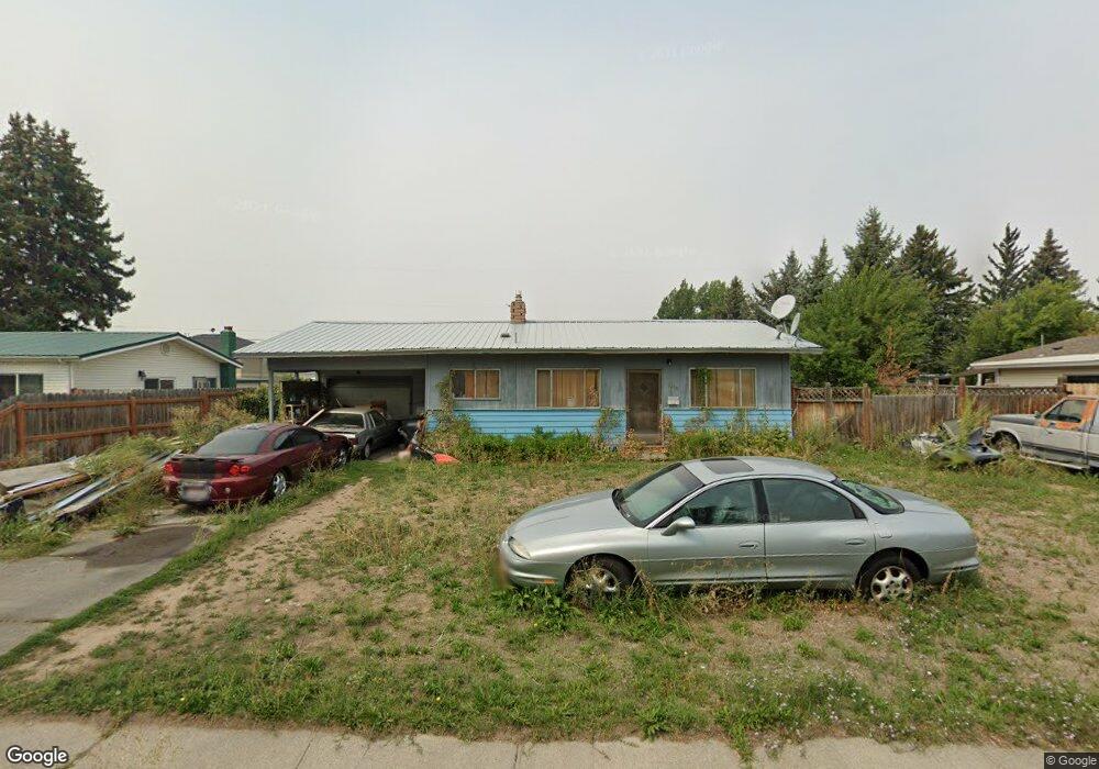
This home is located at 2230 Dove Dr, Ammon, ID 83406 and is currently estimated at $279,434, approximately $227 per square foot. 2230 Dove Dr is a home located in Bonneville County with nearby schools including Hillview Elementary School, Sandcreek Middle School, and Hillcrest High School.
Ownership History
Date
Name
Owned For
Owner Type
Purchase Details
Closed on
Mar 3, 2005
Sold by
Stewart Brenda
Bought by
Stewart Brenda L and Stewart Kenneth M
Current Estimated Value
Home Financials for this Owner
Home Financials are based on the most recent Mortgage that was taken out on this home.
Original Mortgage
$58,100
Outstanding Balance
$29,356
Interest Rate
5.66%
Mortgage Type
New Conventional
Estimated Equity
$250,078
Purchase Details
Closed on
Mar 1, 2005
Sold by
Stewart Brenda L and Stewart Kenneth M
Bought by
Swtewart Keneth M and Swtewart Brenda L
Home Financials for this Owner
Home Financials are based on the most recent Mortgage that was taken out on this home.
Original Mortgage
$58,100
Outstanding Balance
$29,356
Interest Rate
5.66%
Mortgage Type
New Conventional
Estimated Equity
$250,078
Create a Home Valuation Report for This Property
The Home Valuation Report is an in-depth analysis detailing your home's value as well as a comparison with similar homes in the area
Purchase History
| Date | Buyer | Sale Price | Title Company |
|---|---|---|---|
| Stewart Brenda L | -- | None Available | |
| Swtewart Keneth M | -- | First American Title Company |
Source: Public Records
Mortgage History
| Date | Status | Borrower | Loan Amount |
|---|---|---|---|
| Open | Stewart Brenda L | $58,100 |
Source: Public Records
Tax History
| Year | Tax Paid | Tax Assessment Tax Assessment Total Assessment is a certain percentage of the fair market value that is determined by local assessors to be the total taxable value of land and additions on the property. | Land | Improvement |
|---|---|---|---|---|
| 2025 | $1,556 | $276,458 | $77,804 | $198,654 |
| 2024 | $1,501 | $272,312 | $73,656 | $198,656 |
| 2023 | $1,467 | $207,696 | $73,656 | $134,040 |
| 2022 | $1,534 | $189,946 | $52,206 | $137,740 |
| 2021 | $1,353 | $126,886 | $47,426 | $79,460 |
| 2019 | $1,357 | $107,975 | $41,205 | $66,770 |
| 2018 | $1,176 | $95,189 | $27,619 | $67,570 |
| 2017 | $1,085 | $79,645 | $20,105 | $59,540 |
| 2016 | $1,061 | $73,307 | $18,287 | $55,020 |
| 2015 | $1,031 | $70,847 | $18,287 | $52,560 |
| 2014 | $26,594 | $70,847 | $18,287 | $52,560 |
| 2013 | $1,075 | $75,666 | $18,286 | $57,380 |
Source: Public Records
Map
Nearby Homes
- 2285 Curlew Dr
- TBD Eagle Dr Unit 9
- 2985 Eagle Dr
- 1875 Falcon Dr
- 2764 Derrald Ave
- 1715 S Curlew Dr
- 1860 Heather Cir
- 2710 E 17th St
- 1900 Spencer Ln
- 3200 Rawson St
- 3185 Owen St
- 1504 Falcon Dr
- 2881 Sunburst Dr Unit 2881
- 1785 Cabellaro Dr
- 1202 Ashland Dr
- L14 B4 Malheur River St
- 2401 Hoopes Ave
- TBD Bob Tail Cir
- 1420 Ashment Ave
- 3439 Lancer Ave