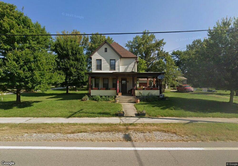
2230 Main St Thurston, OH 43157
Estimated Value: $207,000 - $262,000
3
Beds
--
Bath
1,509
Sq Ft
$153/Sq Ft
Est. Value
About This Home
This home is located at 2230 Main St, Thurston, OH 43157 and is currently estimated at $231,032, approximately $153 per square foot. 2230 Main St is a home with nearby schools including Liberty Union Elementary School, Liberty Union Middle School, and Liberty Union High School.
Ownership History
Date
Name
Owned For
Owner Type
Purchase Details
Closed on
Dec 30, 1994
Sold by
Arr Martha E
Bought by
Forgrave Timothy M and Forgrave Deborah K
Current Estimated Value
Home Financials for this Owner
Home Financials are based on the most recent Mortgage that was taken out on this home.
Original Mortgage
$37,050
Interest Rate
9.24%
Mortgage Type
New Conventional
Create a Home Valuation Report for This Property
The Home Valuation Report is an in-depth analysis detailing your home's value as well as a comparison with similar homes in the area
Home Values in the Area
Average Home Value in this Area
Purchase History
| Date | Buyer | Sale Price | Title Company |
|---|---|---|---|
| Forgrave Timothy M | $39,000 | -- |
Source: Public Records
Mortgage History
| Date | Status | Borrower | Loan Amount |
|---|---|---|---|
| Closed | Forgrave Timothy M | $37,050 |
Source: Public Records
Tax History
| Year | Tax Paid | Tax Assessment Tax Assessment Total Assessment is a certain percentage of the fair market value that is determined by local assessors to be the total taxable value of land and additions on the property. | Land | Improvement |
|---|---|---|---|---|
| 2025 | $3,547 | $46,220 | $11,770 | $34,450 |
| 2024 | $3,547 | $52,630 | $6,380 | $46,250 |
| 2023 | $1,934 | $52,630 | $6,380 | $46,250 |
| 2022 | $1,920 | $52,630 | $6,380 | $46,250 |
| 2021 | $1,515 | $36,930 | $5,390 | $31,540 |
| 2020 | $1,551 | $36,930 | $5,390 | $31,540 |
| 2019 | $1,578 | $36,930 | $5,390 | $31,540 |
| 2018 | $1,445 | $31,430 | $5,390 | $26,040 |
| 2017 | $1,452 | $31,130 | $5,090 | $26,040 |
| 2016 | $1,400 | $31,130 | $5,090 | $26,040 |
| 2015 | $1,293 | $28,240 | $3,390 | $24,850 |
| 2014 | $1,242 | $28,240 | $3,390 | $24,850 |
| 2013 | $1,242 | $28,240 | $3,390 | $24,850 |
Source: Public Records
Map
Nearby Homes
- 2500 Main St
- 1925 Holt St
- 0 Baltimore Somerset Rd NE
- 2725 Baltimore Somerset Rd NE
- 8011 Ruffner Rd NE
- 6781 Thoreau Ln NE
- 0 Lancaster-Newark Rd NE Unit Lot A
- 0 Lancaster-Newark Rd NE
- 570 Baltimore Somerset Rd NE Unit Lot 1
- 2865 Leitnaker Rd NE
- 301 N Main St
- 111 W Columbus St
- 9915 Lancaster-Newark Rd NE
- 112 W Walnut St
- 113 Pearl St
- 0 Lake Rd NE
- 10159 Lake Rd NE
- 602 E Cliff St
- 220 N Wagner Ave
- 3591 Richland Rd NE
Your Personal Tour Guide
Ask me questions while you tour the home.