2230 Williams Rd Point Roberts, WA 98281
Estimated Value: $324,000 - $401,000
2
Beds
1
Bath
950
Sq Ft
$386/Sq Ft
Est. Value
About This Home
This home is located at 2230 Williams Rd, Point Roberts, WA 98281 and is currently estimated at $367,080, approximately $386 per square foot. 2230 Williams Rd is a home with nearby schools including Point Roberts Primary School, Blaine Middle School, and Blaine High School.
Ownership History
Date
Name
Owned For
Owner Type
Purchase Details
Closed on
Oct 4, 2017
Sold by
Osullivan Amicia
Bought by
Strimbu Bogdan Mihai and Strimbu Aurella
Current Estimated Value
Purchase Details
Closed on
Jan 6, 2011
Sold by
Rotunno Vincent
Bought by
Osullivan Amicia
Purchase Details
Closed on
Sep 28, 2007
Sold by
Rotunno Vincent R
Bought by
Osullivan Amicia
Purchase Details
Closed on
May 18, 2005
Sold by
Hook Peter and Hook Janet
Bought by
Osullivan Amicia and Rotunno Vincent R
Create a Home Valuation Report for This Property
The Home Valuation Report is an in-depth analysis detailing your home's value as well as a comparison with similar homes in the area
Home Values in the Area
Average Home Value in this Area
Purchase History
| Date | Buyer | Sale Price | Title Company |
|---|---|---|---|
| Strimbu Bogdan Mihai | $55,000 | Whatcom Land Title Co Inc | |
| Osullivan Amicia | -- | None Available | |
| Osullivan Amicia | -- | None Available | |
| Osullivan Amicia | $119,000 | Chicago Title Insurance |
Source: Public Records
Tax History Compared to Growth
Tax History
| Year | Tax Paid | Tax Assessment Tax Assessment Total Assessment is a certain percentage of the fair market value that is determined by local assessors to be the total taxable value of land and additions on the property. | Land | Improvement |
|---|---|---|---|---|
| 2024 | $2,084 | $280,024 | $102,383 | $177,641 |
| 2023 | $2,084 | $270,716 | $93,075 | $177,641 |
| 2022 | $1,024 | $198,560 | $85,000 | $113,560 |
| 2021 | $385 | $109,689 | $40,128 | $69,561 |
| 2020 | $382 | $37,155 | $37,155 | $0 |
| 2019 | $326 | $35,640 | $35,640 | $0 |
| 2018 | $355 | $29,400 | $29,400 | $0 |
| 2017 | $322 | $29,400 | $29,400 | $0 |
| 2016 | $1,070 | $30,000 | $30,000 | $0 |
| 2015 | $1,114 | $101,215 | $33,218 | $67,997 |
| 2014 | -- | $103,598 | $34,000 | $69,598 |
| 2013 | -- | $103,598 | $34,000 | $69,598 |
Source: Public Records
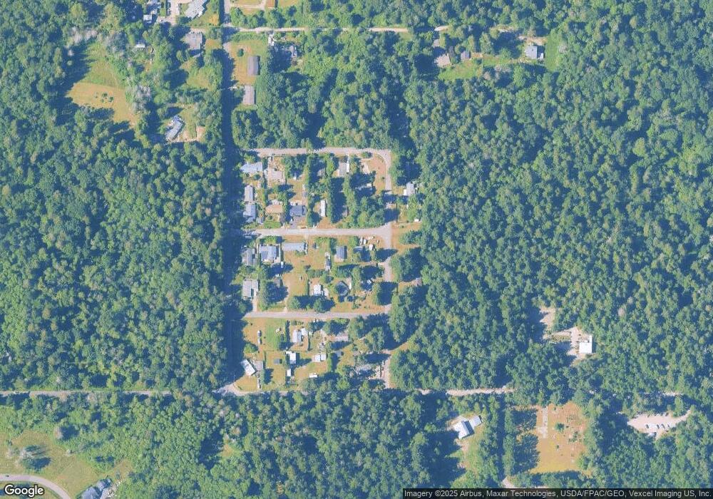
Map
Nearby Homes
- One Acre Uscandia Ln
- 500 Moose Trail
- 2128 Seabright Loop
- 58 Seabright Loop
- 2202 Seabright Loop
- 2149 Seabright Loop
- 2126 Seabright Loop
- 0 Lot 7 Weasel Run Rd
- 0 X Weasel Run
- 412 High Bluff Dr
- 2250 Seabright Loop
- 2246 Seabright Loop
- 302 Boundary Bay Rd
- Lot 35 Boundary Bay Rd
- 4 Boundary Bay Rd
- 675 Sylvia Dr
- 1976 Cedar Park Dr
- Lot 2 Greenwood Dr
- 1940 Apa Rd
- 623 Maple Ave
- 2226 Olson Rd
- 2227 Williams Rd
- 2228 Williams Rd
- 2216 Olson Rd
- 2220 Williams Rd
- 2215 Williams Rd
- 541 Mclaren Rd
- 548 Mclaren Rd
- 2225 Olson Rd
- 574 Mclaren Rd
- 2233 Ross Rd
- 574 Boundary Bay Rd
- 2227 Olson Rd
- 548 Boundary Bay Rd
- 2215 Ross Rd
- 542 Mclaren Rd
- 542 Boundary Bay Rd
- 2242 Apa Rd
- 2230 Apa Rd
- 2209 Ross Rd