22303 512th Ln McGregor, MN 55760
Estimated Value: $458,000 - $557,000
About This Home
This home is located at 22303 512th Ln, McGregor, MN 55760 and is currently estimated at $512,259, approximately $371 per square foot. 22303 512th Ln is a home located in Aitkin County with nearby schools including McGregor Elementary School and McGregor Secondary School.
Ownership History
We collect this data history from publicly available records. To have your information removed, we recommend requesting removal directly through your county’s website.
Purchase Details
Home Financials for this Owner
Home Financials are based on the most recent Mortgage that was taken out on this home.Purchase History
We collect this data history from publicly available records. To have your information removed, we recommend requesting removal directly through your county’s website.
| Date | Buyer | Sale Price | Title Company |
|---|---|---|---|
| $305,000 | -- |
Mortgage History
We collect this data history from publicly available records. To have your information removed, we recommend requesting removal directly through your county’s website.
| Date | Status | Borrower | Loan Amount |
|---|---|---|---|
| Open | $244,000 |
Tax History
We collect this data history from publicly available records. To have your information removed, we recommend requesting removal directly through your county’s website.
| Year | Tax Paid | Tax Assessment Tax Assessment Total Assessment is a certain percentage of the fair market value that is determined by local assessors to be the total taxable value of land and additions on the property. | Land | Improvement |
|---|---|---|---|---|
| 2025 | $2,552 | $428,300 | $307,900 | $120,400 |
| 2024 | $2,913 | $429,600 | $314,200 | $115,400 |
| 2023 | $2,614 | $492,100 | $376,800 | $115,300 |
| 2022 | $2,664 | $389,500 | $283,300 | $106,200 |
| 2021 | $2,510 | $300,000 | $215,900 | $84,100 |
| 2020 | $2,494 | $280,300 | $204,200 | $76,100 |
| 2019 | $2,312 | $268,500 | $198,400 | $70,100 |
| 2018 | $2,216 | $238,300 | $180,800 | $57,500 |
| 2017 | $1,954 | $233,100 | $180,800 | $52,300 |
| 2016 | $1,944 | $206,800 | $154,500 | $52,300 |
| 2014 | $1,925 | $210,800 | $154,100 | $56,700 |
| 2012 | $20 | $246,100 | $179,700 | $66,400 |
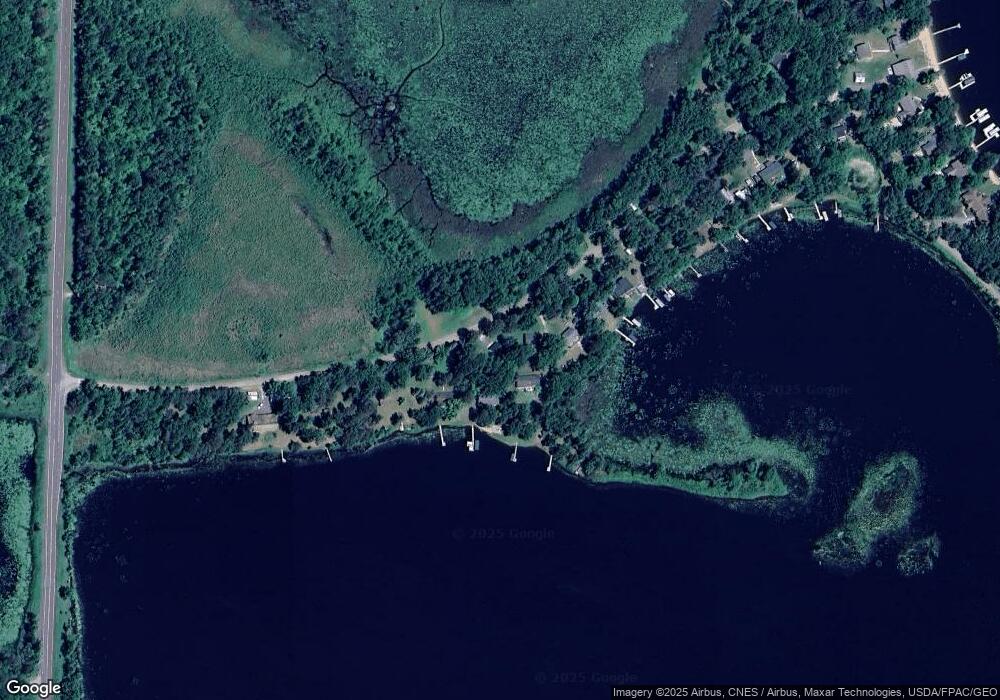
Map
- 51223 221st Place
- 22325 519th Ln
- 22379 519th Ln
- 50691 218th Place
- 50413 214th Place
- 50408 214th Place
- 51077 Long Point Place
- 52555 223rd Place
- TBD 235th Place
- 51256 207th Place
- 21917 532nd Ln
- 51992 209th Place
- 21178 496th Ln
- 49760 202nd Place
- 49734 202nd Place
- 50796 202nd Place
- 49512 202nd Place
- 49463 202nd Place
- 22194 537th Ln
- 20530 487th St Unit 19
- 22275 512th Ln
- 22351 512th Ln
- 22261 512th Ln
- 22249 512th Ln
- 22405 512th Ln
- 22239 512th Ln
- 22235 512th Ln
- 22211 512th Ln
- 22191 512th Ln
- 22173 512th Ln
- 22163 512th Ln
- 22153 512th Ln
- 22121 512th Ln
- 22126 512th Ln
- 22109 512th Ln
- 22082 512th Ln
- 22074 512th Ln
- 22070 512th Ln
- 22052 512th Ln
- 51220 221st Place
Ask me questions while you tour the home.