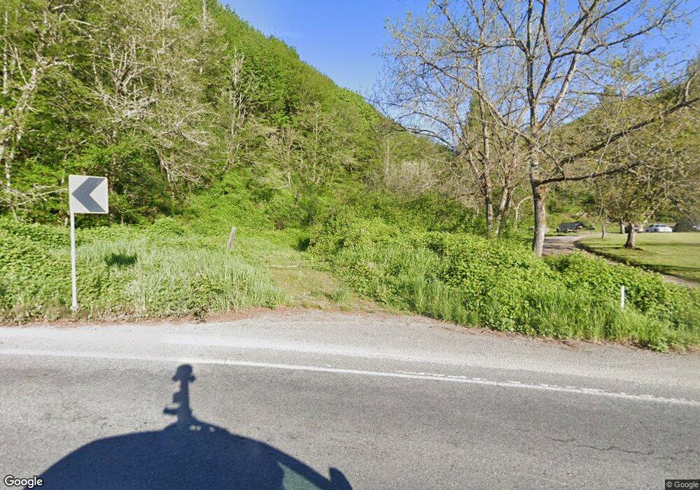
22304 State Route 9 Mount Vernon, WA 98274
Lake McMurray NeighborhoodEstimated Value: $542,203 - $757,000
3
Beds
2
Baths
1,204
Sq Ft
$510/Sq Ft
Est. Value
About This Home
This home is located at 22304 State Route 9, Mount Vernon, WA 98274 and is currently estimated at $613,801, approximately $509 per square foot. 22304 State Route 9 is a home located in Skagit County with nearby schools including Conway School.
Ownership History
Date
Name
Owned For
Owner Type
Purchase Details
Closed on
Jan 14, 2010
Sold by
Carlson Alfred N
Bought by
Mcadow Robert Dewayne and Mcadow Kay Anne
Current Estimated Value
Purchase Details
Closed on
Jan 14, 2009
Sold by
Carlson Alfred N
Bought by
Mcadow Robert Dewayne and Mcadow Kay Anne
Purchase Details
Closed on
Nov 15, 2007
Sold by
Carlson Alfred N
Bought by
Mcadow Robert Dewayne and Mcadow Kay Anne
Purchase Details
Closed on
Jan 3, 2007
Sold by
Carlson Alfred N
Bought by
Mcadow Robert Dewayne and Mcadow Kay Anne
Purchase Details
Closed on
Sep 13, 2004
Sold by
Mad Investments Llc
Bought by
Leslie Mildred A
Home Financials for this Owner
Home Financials are based on the most recent Mortgage that was taken out on this home.
Original Mortgage
$1,200,000
Interest Rate
5.8%
Create a Home Valuation Report for This Property
The Home Valuation Report is an in-depth analysis detailing your home's value as well as a comparison with similar homes in the area
Home Values in the Area
Average Home Value in this Area
Purchase History
| Date | Buyer | Sale Price | Title Company |
|---|---|---|---|
| Mcadow Robert Dewayne | -- | Accommodation | |
| Mcadow Robert Dewayne | -- | None Available | |
| Mcadow Robert Dewayne | -- | None Available | |
| Mcadow Robert Dewayne | -- | None Available | |
| Leslie Mildred A | -- | -- | |
| Mad Investments Llc | -- | -- |
Source: Public Records
Mortgage History
| Date | Status | Borrower | Loan Amount |
|---|---|---|---|
| Previous Owner | Mad Investments Llc | $1,200,000 |
Source: Public Records
Tax History Compared to Growth
Tax History
| Year | Tax Paid | Tax Assessment Tax Assessment Total Assessment is a certain percentage of the fair market value that is determined by local assessors to be the total taxable value of land and additions on the property. | Land | Improvement |
|---|---|---|---|---|
| 2024 | $4,029 | $486,800 | $283,700 | $203,100 |
| 2023 | $4,029 | $451,200 | $265,200 | $186,000 |
| 2022 | $4,093 | $511,500 | $279,700 | $231,800 |
| 2021 | $4,151 | $395,900 | $213,900 | $182,000 |
| 2020 | $3,874 | $372,200 | $0 | $0 |
| 2019 | $3,322 | $346,700 | $0 | $0 |
| 2018 | $3,704 | $300,000 | $0 | $0 |
| 2017 | $3,795 | $286,300 | $0 | $0 |
| 2016 | $3,650 | $295,100 | $141,600 | $153,500 |
| 2015 | $3,245 | $275,500 | $132,200 | $143,300 |
| 2013 | $3,194 | $227,600 | $0 | $0 |
Source: Public Records
Map
Nearby Homes
- 23738 Carlson Place
- 23330 State Route 534
- 22969 Lake McMurray Ln
- 23217 State Route 9
- 24869 Brotherhood Rd
- 21314 Starbird Rd
- 31628 19th Dr NW
- 25451 Lake Cavanaugh Rd
- 22539 Fieldstone Ln
- 3723 324th St NW
- 22414 Bulson Rd
- 24015 Foxglove Ln
- 36411 324th St NE
- 30719 15th Ave NE
- 18895 W Big Lake Blvd
- 18545 W Big Lake Blvd
- 18452 S West View Rd
- 0 XX 00
- 18411 Blacktail Trail
- 18333 Blacktail Trail
- 22164 State Route 9
- 0 Lot 7 Willabelle Place Unit 1184134
- 0 Lot 7 Willabelle Place Unit 1459390
- 8 Willabelle Place
- 0 Lot 3 Willabelle Place
- 0 Willabelle Place Unit 29002743
- 22275 Willabelle Place
- 22257 Willabelle Place
- 22283 Willabelle Place
- 22239 Willabelle Place
- 23774 Carlson Place
- 0 Lot 3 Willabelle Place Unit 1184225
- 0 Lot 3 Willabelle Place Unit 1906691
- 0 Lot 3 Willabelle Place Unit 1776666
- 0 Lot 3 Willabelle Place Unit 1459391
- 62821 Undisclsoed
- 22299 Willabelle Place
- 24105 Sand Stone
- 23832 Carlson Place
- 22303 Willabelle Place
