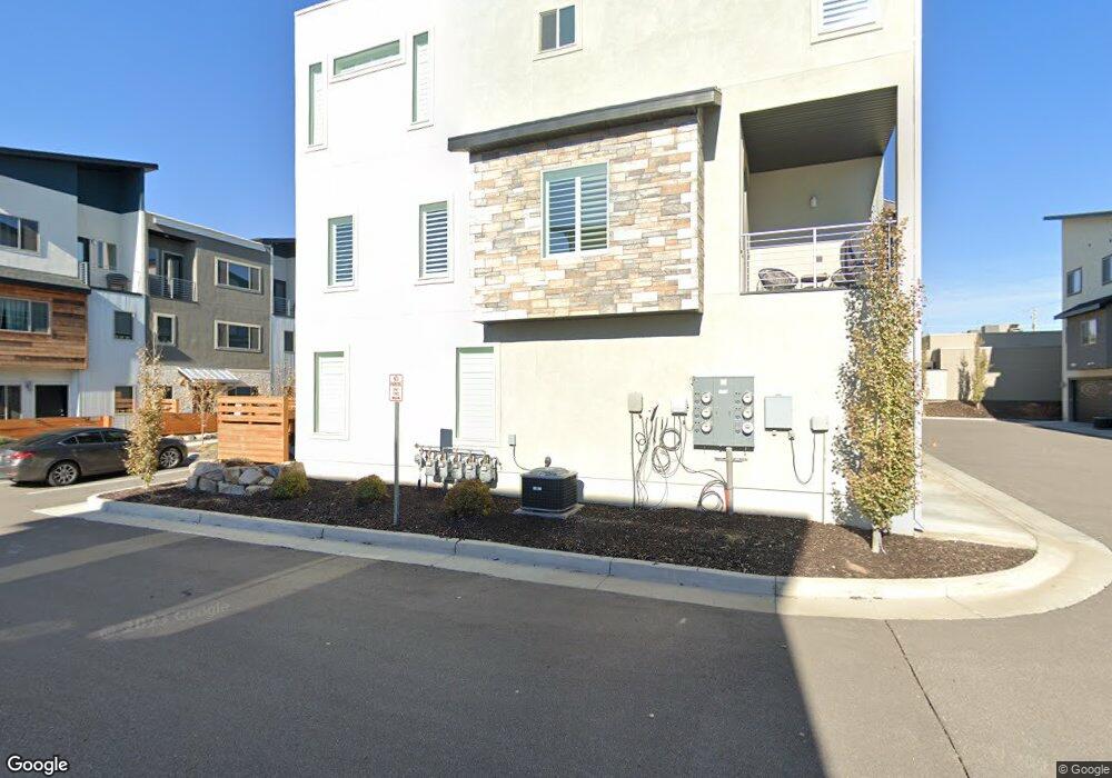
2231 N 450 W Layton, UT 84041
Estimated Value: $425,000 - $444,364
4
Beds
3
Baths
2,001
Sq Ft
$218/Sq Ft
Est. Value
About This Home
This home is located at 2231 N 450 W, Layton, UT 84041 and is currently estimated at $435,841, approximately $217 per square foot. 2231 N 450 W is a home located in Davis County with nearby schools including Lincoln Elementary School, North Layton Junior High School, and Northridge High School.
Ownership History
Date
Name
Owned For
Owner Type
Purchase Details
Closed on
May 30, 2024
Sold by
Diaz Karen and Rees Stephen Anthony
Bought by
Sheehan Christian and Ashley Cassandra
Current Estimated Value
Purchase Details
Closed on
Feb 26, 2021
Sold by
Pehrson Mark T and Pehrson Heidi P
Bought by
Rees Stephen Anthony and Diaz Karen
Home Financials for this Owner
Home Financials are based on the most recent Mortgage that was taken out on this home.
Original Mortgage
$346,750
Interest Rate
2.7%
Mortgage Type
New Conventional
Purchase Details
Closed on
Apr 23, 2019
Sold by
Evn Property Development Llc
Bought by
Pehrson Mark T and Pehrson Heidi P
Home Financials for this Owner
Home Financials are based on the most recent Mortgage that was taken out on this home.
Original Mortgage
$234,363
Interest Rate
4.3%
Mortgage Type
New Conventional
Create a Home Valuation Report for This Property
The Home Valuation Report is an in-depth analysis detailing your home's value as well as a comparison with similar homes in the area
Home Values in the Area
Average Home Value in this Area
Purchase History
| Date | Buyer | Sale Price | Title Company |
|---|---|---|---|
| Sheehan Christian | -- | Inwest Title | |
| Rees Stephen Anthony | -- | Cottonwood Title Ins | |
| Pehrson Mark T | -- | Advanced Title Ins |
Source: Public Records
Mortgage History
| Date | Status | Borrower | Loan Amount |
|---|---|---|---|
| Previous Owner | Rees Stephen Anthony | $346,750 | |
| Previous Owner | Pehrson Mark T | $234,363 |
Source: Public Records
Tax History Compared to Growth
Tax History
| Year | Tax Paid | Tax Assessment Tax Assessment Total Assessment is a certain percentage of the fair market value that is determined by local assessors to be the total taxable value of land and additions on the property. | Land | Improvement |
|---|---|---|---|---|
| 2024 | $2,101 | $222,200 | $54,450 | $167,750 |
| 2023 | $2,345 | $437,000 | $100,000 | $337,000 |
| 2022 | $2,429 | $245,850 | $58,300 | $187,550 |
| 2021 | $2,305 | $348,000 | $75,000 | $273,000 |
| 2020 | $1,989 | $288,000 | $31,200 | $256,800 |
| 2019 | $663 | $94,000 | $30,000 | $64,000 |
| 2018 | $0 | $0 | $30,000 | $0 |
Source: Public Records
Map
Nearby Homes
- 2187 N 450 W
- 2248 N 500 W
- 2211 N 525 W
- 2378 N 675 W
- 2402 N 725 W
- 781 W 2150 N
- 2048 Evans Cove Loop
- 2044 Evans Cove Loop
- 247 W 1925 N
- 2600 N Hill Field Rd Unit 4
- 2600 N Hill Field Rd Unit 138
- 1837 N 440 W
- 2500 N Fort Ln Unit 238
- 2500 N Fort Ln Unit 189
- 1966 N 50 W
- 23 E 2150 N
- 2875 N Hill Field Rd Unit 58
- 2875 N Hill Field Rd Unit 17
- 2875 N Hill Field Rd Unit 62
- 65 Sunset Dr
- 2241 N 450 W Unit 15
- 2227 N Hill Field Rd
- 2227 N Hill Field Rd Unit 79
- 2227 N Hill Field Rd Unit 505
- 2245 N 450 W
- 2217 N 450 W
- 2234 N 450 W
- 2234 N 450 W Unit 6
- 2238 N 450 W Unit 7
- 2238 N 450 W
- 2232 N 475 W Unit 22
- 2226 N 450 W
- 2236 N 475 W
- 2240 N 450 W Unit 8
- 2222 N 450 W
- 2222 N 450 W Unit 4
- 2242 N 475 W Unit 20
- 2213 N 450 W
- 2218 N 450 W
- 2244 N 450 W Unit 9