22317 NE 213th Cir Battle Ground, WA 98604
Estimated Value: $948,000 - $1,210,000
6
Beds
3
Baths
3,177
Sq Ft
$345/Sq Ft
Est. Value
About This Home
This home is located at 22317 NE 213th Cir, Battle Ground, WA 98604 and is currently estimated at $1,095,256, approximately $344 per square foot. 22317 NE 213th Cir is a home located in Clark County with nearby schools including Tukes Valley Primary School, Tukes Valley Middle School, and Battle Ground High School.
Ownership History
Date
Name
Owned For
Owner Type
Purchase Details
Closed on
Dec 20, 2012
Sold by
Hines Laurie A and Hines Lewis L
Bought by
Christensen Blair I and Christensen Andrea T
Current Estimated Value
Home Financials for this Owner
Home Financials are based on the most recent Mortgage that was taken out on this home.
Original Mortgage
$424,261
Outstanding Balance
$292,277
Interest Rate
3.25%
Mortgage Type
FHA
Estimated Equity
$802,979
Purchase Details
Closed on
Jan 25, 2010
Sold by
Williamson Laurie A and Hines Lewis L
Bought by
Williamson Laurie A
Home Financials for this Owner
Home Financials are based on the most recent Mortgage that was taken out on this home.
Original Mortgage
$342,500
Interest Rate
4.91%
Mortgage Type
New Conventional
Purchase Details
Closed on
May 13, 2009
Sold by
Williamson Gary D
Bought by
Williamson Laurie A
Purchase Details
Closed on
Apr 10, 2003
Sold by
Williamson Laurie A
Bought by
Williamson Gary D
Home Financials for this Owner
Home Financials are based on the most recent Mortgage that was taken out on this home.
Original Mortgage
$250,000
Interest Rate
5.6%
Mortgage Type
Purchase Money Mortgage
Purchase Details
Closed on
May 30, 2001
Sold by
Williamson Gary D
Bought by
Williamson Gary D and Williamson Laurie A
Purchase Details
Closed on
May 7, 2001
Sold by
Williamson Laurie A and Wilkerson Laurie A
Bought by
Williamson Gary D
Purchase Details
Closed on
Sep 11, 2000
Sold by
Williamson Gary
Bought by
Williamson Gary and Wilkerson Laurie A
Home Financials for this Owner
Home Financials are based on the most recent Mortgage that was taken out on this home.
Original Mortgage
$166,400
Interest Rate
8.2%
Purchase Details
Closed on
Aug 28, 2000
Sold by
First Security Bank Na
Bought by
Williamson Gary
Home Financials for this Owner
Home Financials are based on the most recent Mortgage that was taken out on this home.
Original Mortgage
$166,400
Interest Rate
8.2%
Create a Home Valuation Report for This Property
The Home Valuation Report is an in-depth analysis detailing your home's value as well as a comparison with similar homes in the area
Home Values in the Area
Average Home Value in this Area
Purchase History
| Date | Buyer | Sale Price | Title Company |
|---|---|---|---|
| Christensen Blair I | $445,000 | Chicago Title | |
| Williamson Laurie A | -- | Columbia Title Agency | |
| Williamson Laurie A | -- | Columbia Title Agency | |
| Williamson Laurie A | -- | None Available | |
| Williamson Gary D | -- | Fidelity National Title | |
| Williamson Gary D | -- | Clark County Title | |
| Williamson Gary D | -- | Clark County Title Company | |
| Williamson Gary | -- | First American Title Ins Co | |
| Williamson Gary | $188,000 | First American Title Ins Co |
Source: Public Records
Mortgage History
| Date | Status | Borrower | Loan Amount |
|---|---|---|---|
| Open | Christensen Blair I | $424,261 | |
| Previous Owner | Williamson Laurie A | $342,500 | |
| Previous Owner | Williamson Gary D | $250,000 | |
| Previous Owner | Williamson Gary | $166,400 |
Source: Public Records
Tax History Compared to Growth
Tax History
| Year | Tax Paid | Tax Assessment Tax Assessment Total Assessment is a certain percentage of the fair market value that is determined by local assessors to be the total taxable value of land and additions on the property. | Land | Improvement |
|---|---|---|---|---|
| 2025 | $7,651 | $958,285 | $291,125 | $667,160 |
| 2024 | $6,938 | $923,448 | $291,125 | $632,323 |
| 2023 | $7,461 | $963,175 | $301,662 | $661,513 |
| 2022 | $7,166 | $946,827 | $272,900 | $673,927 |
| 2021 | $7,033 | $792,225 | $194,765 | $597,460 |
| 2020 | $6,933 | $710,771 | $208,352 | $502,419 |
| 2019 | $6,070 | $683,573 | $196,462 | $487,111 |
| 2018 | $6,742 | $687,658 | $0 | $0 |
| 2017 | $6,202 | $581,333 | $0 | $0 |
| 2016 | $6,038 | $584,528 | $0 | $0 |
| 2015 | $6,110 | $522,281 | $0 | $0 |
| 2014 | -- | $500,024 | $0 | $0 |
| 2013 | -- | $429,314 | $0 | $0 |
Source: Public Records
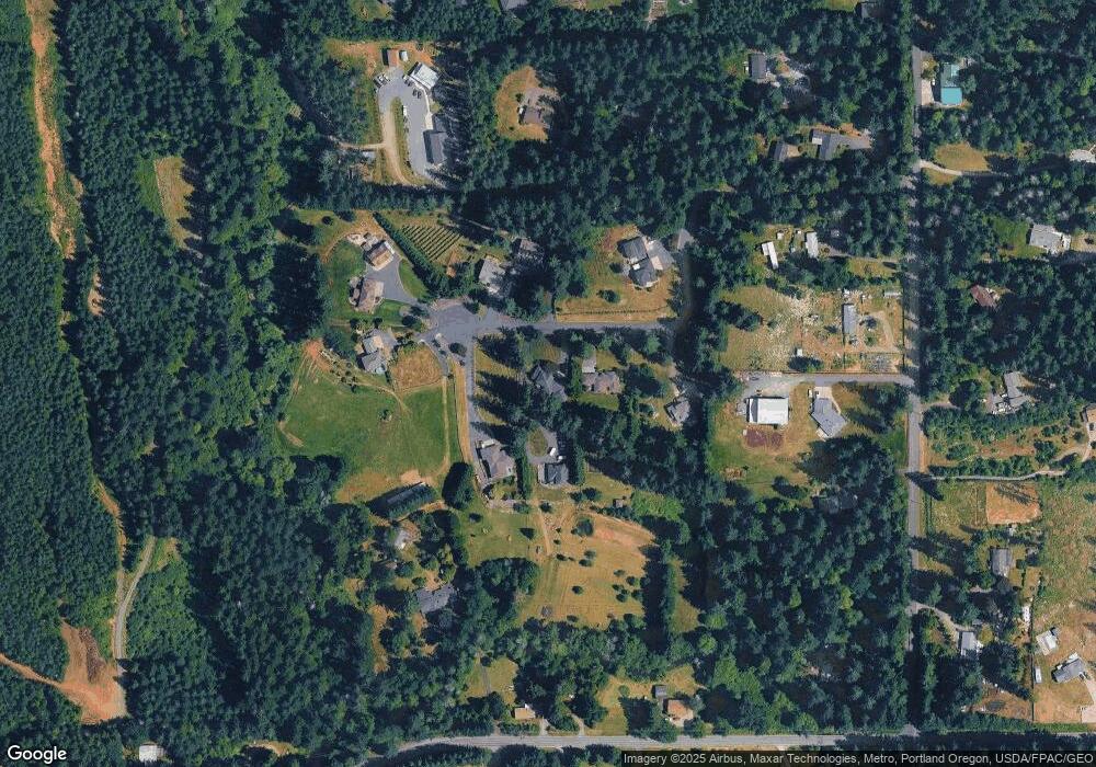
Map
Nearby Homes
- 22400 NE 216th Cir
- 20502 NE 225th Ave
- 22414 NE 200th St
- 0 NE 212th Ave
- 21017 NE Risto Rd
- 20304 NE 237th Ave
- 24415 NE 219th St
- 24104 NE 199th St
- 24312 NE 224th St
- 23417 NE Canyon Rd
- 21821 NE Rock Creek Canyon Rd
- 19119 NE 204th Ave
- 24812 NE Berlin Rd
- 18717 NE 208th Ct
- 25205 NE 209th St
- 25116 NE Olson Rd
- 20015 NE 234th St
- 22824 NE 254th Ct
- 22020 NE 260th Place
- 20205 NE 190th Ave
- 22315 NE 213th Cir
- 22403 NE 213th Cir
- 21314 NE 225th Ave
- 22316 NE 213th Cir
- 22312 NE 213th Cir
- 21116 NE 227th Ave
- 22222 NE 209th St
- 22314 NE 214th St
- 22216 NE 214th St
- 22414 NE 214th St
- 22214 NE 214th St
- 22416 NE 209th St
- 21406 NE 227th Ave
- 21418 NE 227th Ave
- 22305 NE 216th Cir
- 22401 NE 216th Cir
- 22602 NE 209th St
- 22411 NE 216th Cir