2232 Dunseath Ave NW Unit 308 Atlanta, GA 30318
Bolton NeighborhoodEstimated Value: $212,000 - $260,000
2
Beds
3
Baths
950
Sq Ft
$241/Sq Ft
Est. Value
About This Home
This home is located at 2232 Dunseath Ave NW Unit 308, Atlanta, GA 30318 and is currently estimated at $228,947, approximately $240 per square foot. 2232 Dunseath Ave NW Unit 308 is a home located in Fulton County with nearby schools including Bolton Academy, Sutton Middle School, and North Atlanta High School.
Ownership History
Date
Name
Owned For
Owner Type
Purchase Details
Closed on
Sep 6, 2019
Sold by
Harper John
Bought by
Winskey Marisa D
Current Estimated Value
Home Financials for this Owner
Home Financials are based on the most recent Mortgage that was taken out on this home.
Original Mortgage
$167,400
Outstanding Balance
$146,629
Interest Rate
3.6%
Mortgage Type
New Conventional
Estimated Equity
$82,318
Create a Home Valuation Report for This Property
The Home Valuation Report is an in-depth analysis detailing your home's value as well as a comparison with similar homes in the area
Home Values in the Area
Average Home Value in this Area
Purchase History
| Date | Buyer | Sale Price | Title Company |
|---|---|---|---|
| Winskey Marisa D | $186,000 | -- |
Source: Public Records
Mortgage History
| Date | Status | Borrower | Loan Amount |
|---|---|---|---|
| Open | Winskey Marisa D | $167,400 |
Source: Public Records
Tax History Compared to Growth
Tax History
| Year | Tax Paid | Tax Assessment Tax Assessment Total Assessment is a certain percentage of the fair market value that is determined by local assessors to be the total taxable value of land and additions on the property. | Land | Improvement |
|---|---|---|---|---|
| 2025 | $1,756 | $105,800 | $21,160 | $84,640 |
| 2023 | $4,016 | $97,000 | $14,560 | $82,440 |
| 2022 | $1,493 | $80,000 | $16,360 | $63,640 |
| 2021 | $1,201 | $68,680 | $13,760 | $54,920 |
| 2020 | $2,781 | $67,880 | $13,600 | $54,280 |
| 2019 | $97 | $53,560 | $22,600 | $30,960 |
| 2018 | $1,810 | $43,720 | $7,880 | $35,840 |
| 2017 | $1,121 | $25,960 | $5,200 | $20,760 |
| 2016 | $1,124 | $25,960 | $5,200 | $20,760 |
| 2015 | $1,159 | $25,960 | $5,200 | $20,760 |
| 2014 | $1,177 | $25,960 | $5,200 | $20,760 |
Source: Public Records
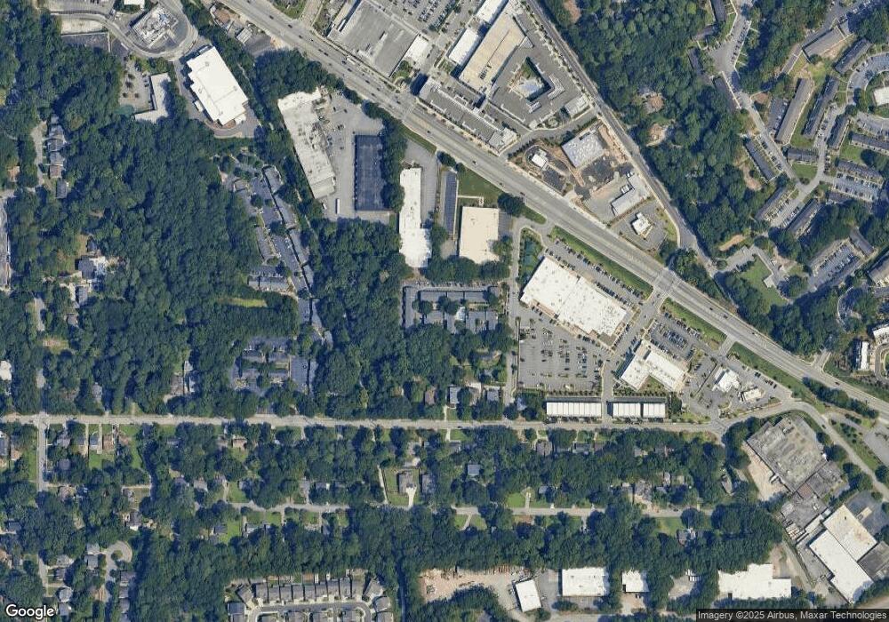
Map
Nearby Homes
- 2232 Dunseath Ave NW Unit 202
- 2232 Dunseath Ave NW Unit 204
- 1815 La Dawn Ln NW
- 1953 Haley Walk
- 2315 Adams Dr NW
- 1923 Coal Place
- 2032 Holtz Ln
- 2028 Holtz Ln
- 1612 Gilstrap Ln NW
- 1914 Coal Place
- 1100 Liberty Pkwy NW Unit 403
- 1153 Liberty Pkwy NW
- 1130 Ansel Ln NW
- Hutton Plan at Altus at The Quarter
- 1066 Brandsford St NW
- 1638 Gilstrap Ln NW
- 2099 Adams Dr NW
- 1012 Burnside Ln NW
- 1184 Liberty Pkwy NW
- 2232 Dunseath Ave NW Unit 418
- 2232 Dunseath Ave NW Unit 417
- 2232 Dunseath Ave NW Unit 416
- 2232 Dunseath Ave NW Unit 415
- 2232 Dunseath Ave NW Unit 414
- 2232 Dunseath Ave NW Unit 413
- 2232 Dunseath Ave NW Unit 412
- 2232 Dunseath Ave NW Unit 411
- 2232 Dunseath Ave NW Unit 410
- 2232 Dunseath Ave NW Unit 409
- 2232 Dunseath Ave NW Unit 408
- 2232 Dunseath Ave NW Unit 406
- 2232 Dunseath Ave NW Unit 405
- 2232 Dunseath Ave NW Unit 404
- 2232 Dunseath Ave NW Unit 403
- 2232 Dunseath Ave NW Unit 402
- 2232 Dunseath Ave NW Unit 401
- 2232 Dunseath Ave NW Unit 310
- 2232 Dunseath Ave NW Unit 309
- 2232 Dunseath Ave NW Unit 307