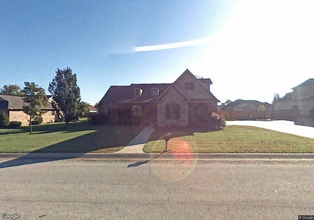
2232 Pearl St Carthage, MO 64836
Estimated Value: $350,909 - $400,000
4
Beds
4
Baths
2,900
Sq Ft
$131/Sq Ft
Est. Value
About This Home
This home is located at 2232 Pearl St, Carthage, MO 64836 and is currently estimated at $378,477, approximately $130 per square foot. 2232 Pearl St is a home located in Jasper County with nearby schools including Carthage High School, St. Ann's Catholic School, and Victory Academy.
Ownership History
Date
Name
Owned For
Owner Type
Purchase Details
Closed on
Jan 15, 2020
Sold by
Garver Ted E and Garver Cathy A
Bought by
Scott J Hartley Ret
Current Estimated Value
Purchase Details
Closed on
Jan 25, 2013
Sold by
Templeman Steven W and Templeman Carolyn Sue
Bought by
Garver Edward and Garver Cathy Anita
Home Financials for this Owner
Home Financials are based on the most recent Mortgage that was taken out on this home.
Original Mortgage
$188,000
Interest Rate
3.39%
Mortgage Type
New Conventional
Purchase Details
Closed on
Mar 17, 2011
Sold by
Osborne Jacob O and Osborne Ashley N
Bought by
Templeman Steven W and Templeman Carolyn Sue
Purchase Details
Closed on
Sep 26, 2006
Sold by
Fagg Cade E and Fagg Britney D
Bought by
Osborne Jacob O and Osborne Ashley N
Create a Home Valuation Report for This Property
The Home Valuation Report is an in-depth analysis detailing your home's value as well as a comparison with similar homes in the area
Home Values in the Area
Average Home Value in this Area
Purchase History
| Date | Buyer | Sale Price | Title Company |
|---|---|---|---|
| Scott J Hartley Ret | -- | None Available | |
| Garver Edward | -- | None Available | |
| Templeman Steven W | -- | Cbt | |
| Osborne Jacob O | -- | Jct |
Source: Public Records
Mortgage History
| Date | Status | Borrower | Loan Amount |
|---|---|---|---|
| Previous Owner | Garver Edward | $188,000 |
Source: Public Records
Tax History Compared to Growth
Tax History
| Year | Tax Paid | Tax Assessment Tax Assessment Total Assessment is a certain percentage of the fair market value that is determined by local assessors to be the total taxable value of land and additions on the property. | Land | Improvement |
|---|---|---|---|---|
| 2025 | $2,246 | $49,330 | $4,090 | $45,240 |
| 2024 | $2,246 | $43,630 | $4,090 | $39,540 |
| 2023 | $2,246 | $43,630 | $4,090 | $39,540 |
| 2022 | $2,427 | $47,310 | $4,090 | $43,220 |
| 2021 | $2,401 | $47,310 | $4,090 | $43,220 |
| 2020 | $2,304 | $43,510 | $4,090 | $39,420 |
| 2019 | $2,308 | $43,510 | $4,090 | $39,420 |
| 2018 | $2,310 | $43,660 | $0 | $0 |
| 2017 | $2,316 | $43,660 | $0 | $0 |
| 2016 | $2,360 | $44,630 | $0 | $0 |
| 2015 | $2,181 | $44,630 | $0 | $0 |
| 2014 | $2,181 | $44,630 | $0 | $0 |
Source: Public Records
Map
Nearby Homes
- 2141 Carrie St
- 1211 E Airport Dr
- 1004 Gene Taylor Dr
- 909 Durward Hall Dr
- 1341 E Airport Dr
- 839 Modern Way
- 837 Modern Way
- NE COR Airport Dr & River
- 739 Sheridan St
- TBD Lexie Ln
- 1106 Southern Hills
- 1922 Southwood Ln
- 1823 S River St
- 2206 Benjamin Dr
- 1431 Quail Place
- 2512 Holman Ct
- 1320 Belle Air Place
- 1743 S River St
- TBD George E Phelps Blvd
- 619 Belle Air Place
- 2224 Pearl St
- 2227 Alison St
- 1018 Durward Hall Dr
- 2243 Alison St
- 2246 Pearl St
- 2239 Pearl St
- 2219 Alison St
- 1206 Wendy Ln
- 1019 Durward Hall Dr
- 2241 Pearl St
- 2251 Alison St
- 1016 Durward Hall Dr
- 2254 Pearl St
- 1017 Durward Hall Dr
- 1016 Dewey Short Ct
- 2236 Alison St
- 2259 Alison St
- 1216 Wendy Ln
- 1116 Wendy Ln
- 2226 Alison St