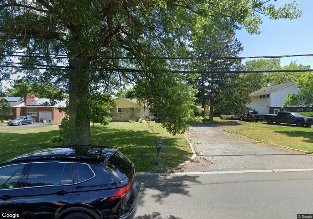
2232 Pennington Rd Ewing, NJ 08638
Ewingville NeighborhoodEstimated Value: $388,000 - $507,000
3
Beds
2
Baths
1,512
Sq Ft
$296/Sq Ft
Est. Value
About This Home
This home is located at 2232 Pennington Rd, Ewing, NJ 08638 and is currently estimated at $447,491, approximately $295 per square foot. 2232 Pennington Rd is a home located in Mercer County with nearby schools including Ewing High School, Trenton Stem-To-Civics Charter School, and The Laurel School of Princeton.
Ownership History
Date
Name
Owned For
Owner Type
Purchase Details
Closed on
Jun 4, 2024
Sold by
Wozencroft Garth O
Bought by
Wozencroft Garth O and Wozencroft W
Current Estimated Value
Purchase Details
Closed on
Mar 8, 2011
Sold by
Estate Of Rose Dangelo and Dangelo Daniel
Bought by
Wozencroft Garth O
Home Financials for this Owner
Home Financials are based on the most recent Mortgage that was taken out on this home.
Original Mortgage
$165,690
Interest Rate
4.87%
Mortgage Type
FHA
Create a Home Valuation Report for This Property
The Home Valuation Report is an in-depth analysis detailing your home's value as well as a comparison with similar homes in the area
Home Values in the Area
Average Home Value in this Area
Purchase History
| Date | Buyer | Sale Price | Title Company |
|---|---|---|---|
| Wozencroft Garth O | -- | None Listed On Document | |
| Wozencroft Garth O | -- | None Listed On Document | |
| Wozencroft Garth O | $170,000 | None Available |
Source: Public Records
Mortgage History
| Date | Status | Borrower | Loan Amount |
|---|---|---|---|
| Previous Owner | Wozencroft Garth O | $165,690 |
Source: Public Records
Tax History
| Year | Tax Paid | Tax Assessment Tax Assessment Total Assessment is a certain percentage of the fair market value that is determined by local assessors to be the total taxable value of land and additions on the property. | Land | Improvement |
|---|---|---|---|---|
| 2025 | $7,724 | $196,400 | $60,700 | $135,700 |
| 2024 | $7,261 | $196,400 | $60,700 | $135,700 |
Source: Public Records
Map
Nearby Homes
- 19 van Saun Dr
- 2 Sparrow Ct
- 2148 Pennington Rd
- 20 Corey Dr
- 632 Timberlake Dr
- 89 Upper Ferry Rd
- 311 Timberlake Dr
- 34 Lopatcong Dr
- 222 Masterson Ct
- 231 Masterson Ct
- 235 Masterson Ct
- 146 Masterson Ct
- 13 Hickory Hill Dr
- 611 Masterson Ct
- 6 Van Gogh Ct
- 51 van Duyn Dr
- 438 Ewingville Rd
- 10 Howe Ct
- 37 van Duyn Dr
- 200 Amberleigh Dr Unit 32H
- 2228 Pennington Rd
- 2236 Pennington Rd
- 80 Brophy Dr
- 78 Brophy Dr
- 2240 Pennington Rd
- 2224 Pennington Rd
- 82 Brophy Dr
- 160 Rockleigh Dr Unit 160A
- 160 Rockleigh Dr Unit 160B
- 160 Rockleigh Dr
- 2244 Pennington Rd
- 84 Brophy Dr
- 59 Brophy Dr
- 61 Brophy Dr
- 57 Brophy Dr
- 86 Brophy Ct
- 2248 Pennington Rd
- 86 Brophy Ct
- 2 Brophy Dr
- 5 Wild Cherry Ln
Your Personal Tour Guide
Ask me questions while you tour the home.