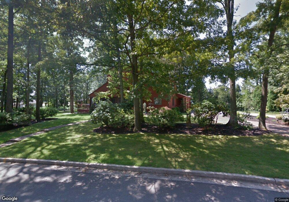
2232 Sanford Dr Vineland, NJ 08361
Estimated Value: $480,000 - $527,000
--
Bed
--
Bath
2,621
Sq Ft
$194/Sq Ft
Est. Value
About This Home
This home is located at 2232 Sanford Dr, Vineland, NJ 08361 and is currently estimated at $509,233, approximately $194 per square foot. 2232 Sanford Dr is a home located in Cumberland County with nearby schools including Anthony Rossi Elementary School, John H. Winslow Elementary School, and Vineland Senior High School.
Ownership History
Date
Name
Owned For
Owner Type
Purchase Details
Closed on
Oct 11, 2002
Current Estimated Value
Purchase Details
Closed on
Sep 29, 1999
Sold by
Goldstein Arthur M
Bought by
Romano Joseph E and Tuck Cynthia J
Home Financials for this Owner
Home Financials are based on the most recent Mortgage that was taken out on this home.
Original Mortgage
$160,000
Interest Rate
7.85%
Create a Home Valuation Report for This Property
The Home Valuation Report is an in-depth analysis detailing your home's value as well as a comparison with similar homes in the area
Home Values in the Area
Average Home Value in this Area
Purchase History
| Date | Buyer | Sale Price | Title Company |
|---|---|---|---|
| -- | -- | -- | |
| Romano Joseph E | $205,000 | -- |
Source: Public Records
Mortgage History
| Date | Status | Borrower | Loan Amount |
|---|---|---|---|
| Previous Owner | Romano Joseph E | $160,000 |
Source: Public Records
Tax History Compared to Growth
Tax History
| Year | Tax Paid | Tax Assessment Tax Assessment Total Assessment is a certain percentage of the fair market value that is determined by local assessors to be the total taxable value of land and additions on the property. | Land | Improvement |
|---|---|---|---|---|
| 2025 | $8,922 | $280,200 | $54,900 | $225,300 |
| 2024 | $8,922 | $280,200 | $54,900 | $225,300 |
| 2023 | $8,863 | $280,200 | $54,900 | $225,300 |
| 2022 | $8,599 | $280,200 | $54,900 | $225,300 |
| 2021 | $8,442 | $280,200 | $54,900 | $225,300 |
| 2020 | $8,201 | $280,200 | $54,900 | $225,300 |
| 2019 | $8,089 | $280,200 | $54,900 | $225,300 |
| 2018 | $7,876 | $280,200 | $54,900 | $225,300 |
| 2017 | $7,481 | $280,200 | $54,900 | $225,300 |
| 2016 | $7,218 | $280,200 | $54,900 | $225,300 |
| 2015 | $6,952 | $280,200 | $54,900 | $225,300 |
| 2014 | $6,573 | $280,200 | $54,900 | $225,300 |
Source: Public Records
Map
Nearby Homes
- 3391 Venturi Ln
- 2151 S Brookfield St
- 3773 Brookhaven Dr
- 1880 S Brookfield St
- 2851 Crane St
- 3176 Hance Bridge Rd
- 2769 Dante Ave
- 1535 Bear Branch Ct
- 2810 Panther Rd
- 2603 Valhalla Rd
- 4024 Renee Dr
- 2676 Medina St
- 2564 Edna Dr
- 2551 Edna Dr
- 1730 Junior Dr
- 2354 Dante Ave
- 1197 S Lincoln Ave
- 2671 E Sherman Ave
- 1319 Paterson Dr
- 4437 Juniper St
- 2147 Venezia Ave
- 2274 Sanford Dr
- 2299 Venezia Ave
- 2249 Sanford Dr
- 2315 Venezia Ave
- 2263 Sanford Dr
- 2290 Sanford Dr
- 2275 Sanford Dr
- 3599 Heron St
- 2204 Sanford Dr
- 2260 Venezia Ave
- 2331 Venezia Ave
- 2294 Venezia Ave
- 2300 Sanford Dr
- 2101 Venezia Ave
- 2160 Venezia Ave
- 3688 Heron St
- 2289 Sanford Dr
- 2345 Venezia Ave
- 3621 Heron St