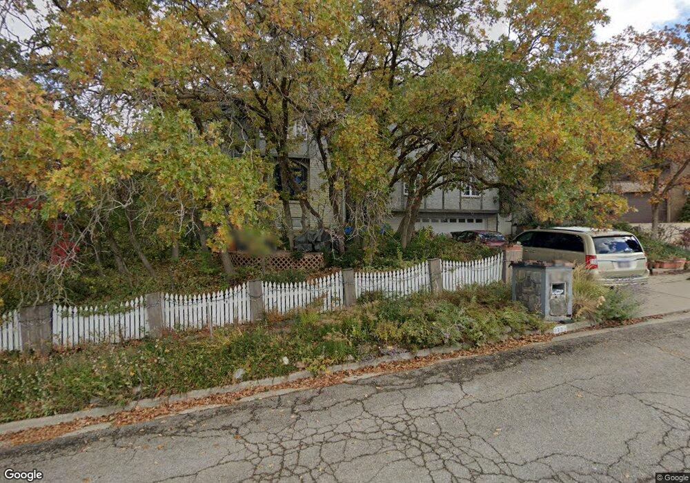
2233 Carolyn Way Bountiful, UT 84010
Estimated Value: $664,603 - $757,000
4
Beds
3
Baths
2,872
Sq Ft
$251/Sq Ft
Est. Value
About This Home
This home is located at 2233 Carolyn Way, Bountiful, UT 84010 and is currently estimated at $722,151, approximately $251 per square foot. 2233 Carolyn Way is a home located in Davis County with nearby schools including Muir School, Mueller Park Junior High School, and Bountiful High School.
Ownership History
Date
Name
Owned For
Owner Type
Purchase Details
Closed on
Oct 6, 2022
Sold by
Bennett David M
Bought by
Bennett David M and Bennett Lorreen I
Current Estimated Value
Home Financials for this Owner
Home Financials are based on the most recent Mortgage that was taken out on this home.
Original Mortgage
$58,500
Outstanding Balance
$50,007
Interest Rate
4.98%
Mortgage Type
New Conventional
Estimated Equity
$672,144
Create a Home Valuation Report for This Property
The Home Valuation Report is an in-depth analysis detailing your home's value as well as a comparison with similar homes in the area
Home Values in the Area
Average Home Value in this Area
Purchase History
| Date | Buyer | Sale Price | Title Company |
|---|---|---|---|
| Bennett David M | -- | Meridian National Title | |
| Bennett David M | -- | Meridian National Title |
Source: Public Records
Mortgage History
| Date | Status | Borrower | Loan Amount |
|---|---|---|---|
| Open | Bennett David M | $58,500 | |
| Closed | Bennett David M | $58,500 |
Source: Public Records
Tax History Compared to Growth
Tax History
| Year | Tax Paid | Tax Assessment Tax Assessment Total Assessment is a certain percentage of the fair market value that is determined by local assessors to be the total taxable value of land and additions on the property. | Land | Improvement |
|---|---|---|---|---|
| 2025 | $3,903 | $361,350 | $128,497 | $232,853 |
| 2024 | $3,654 | $349,250 | $118,555 | $230,695 |
| 2023 | $3,630 | $630,000 | $213,898 | $416,102 |
| 2022 | $4,079 | $389,950 | $113,751 | $276,199 |
| 2021 | $3,639 | $532,000 | $168,976 | $363,024 |
| 2020 | $3,277 | $482,000 | $153,886 | $328,114 |
| 2019 | $3,266 | $469,000 | $153,963 | $315,037 |
| 2018 | $2,893 | $408,000 | $142,698 | $265,302 |
| 2016 | $2,698 | $210,430 | $44,612 | $165,818 |
| 2015 | $2,918 | $210,210 | $44,612 | $165,598 |
| 2014 | $3,157 | $236,872 | $44,612 | $192,260 |
| 2013 | -- | $159,609 | $45,815 | $113,794 |
Source: Public Records
Map
Nearby Homes
- 2321 S 900 E
- 831 E San Simeon Way S
- 652 E 2025 S
- 2177 Bonneview Dr
- 2024 Bonneview Dr
- 771 E 1825 S
- 1761 S Davis Blvd
- 630 E 1800 S
- 1483 Maple Hills Dr
- 530 E 1800 S Unit 51
- 957 Chelsea Dr
- 490 E 1800 S
- 1785 1450 E Unit 604
- 2059 S 350 E Unit 6
- 295 E 2050 S Unit 1
- Edgewood A Plan at Oakhaven Park
- Oakhaven Plan at Oakhaven Park
- Fairmont Plan at Oakhaven Park
- Brierwood Plan at Oakhaven Park
- Baychester Plan at Oakhaven Park
- 2215 Carolyn Way
- 2251 Carolyn Way
- 2230 Elaine Dr
- 2198 Elaine Dr
- 2260 Elaine Dr
- 2250 Carolyn Way
- 2187 Carolyn Way
- 2210 Carolyn Way
- 2190 Elaine Dr
- 2275 Carolyn Way
- 2298 Elaine Dr
- 2290 Carolyn Way
- 2190 Carolyn Way
- 2180 Elaine Dr
- 2295 Carolyn Way
- 2175 Carolyn Way
- 1062 E 2200 S
- 2197 Timothy Way
- 2191 Timothy Way
- 2267 Elaine Dr