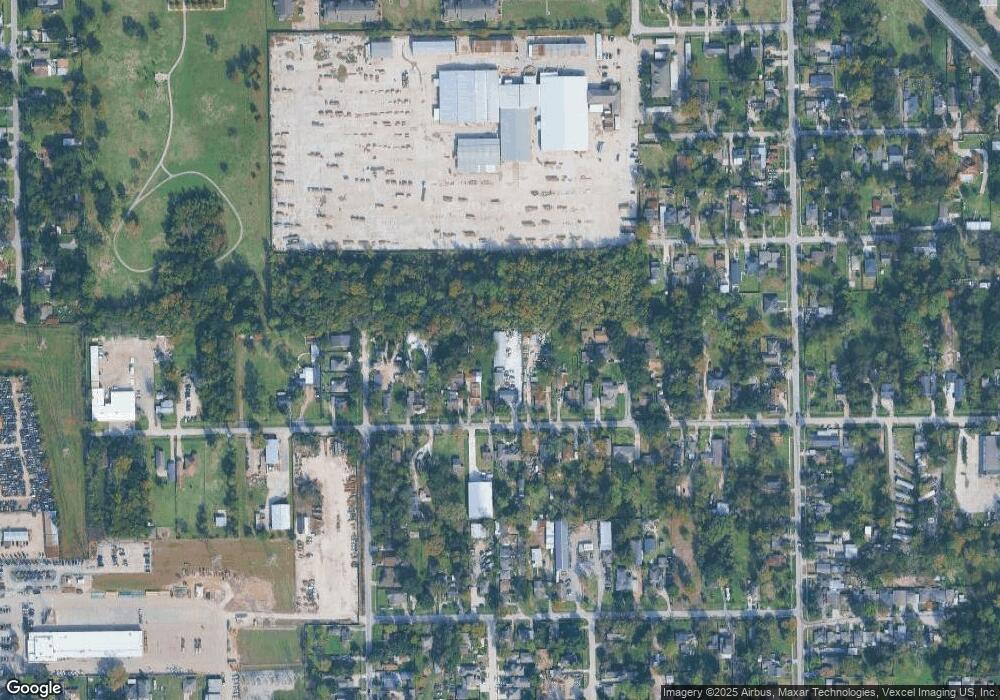
2233 Firnat St Houston, TX 77093
Eastex-Jensen NeighborhoodEstimated Value: $330,000 - $706,382
3
Beds
2
Baths
6,965
Sq Ft
$74/Sq Ft
Est. Value
About This Home
This home is located at 2233 Firnat St, Houston, TX 77093 and is currently estimated at $518,191, approximately $74 per square foot. 2233 Firnat St is a home located in Harris County with nearby schools including Garcia Elementary School, Patrick Henry Middle School, and Sam Houston Math, Science & Technology Center.
Ownership History
Date
Name
Owned For
Owner Type
Purchase Details
Closed on
Oct 25, 2007
Sold by
Brooks Ronald L and Brooks Dorothy M
Bought by
Coronado Patricio J and Coronado Maria S
Current Estimated Value
Home Financials for this Owner
Home Financials are based on the most recent Mortgage that was taken out on this home.
Original Mortgage
$100,000
Interest Rate
6.37%
Mortgage Type
Purchase Money Mortgage
Create a Home Valuation Report for This Property
The Home Valuation Report is an in-depth analysis detailing your home's value as well as a comparison with similar homes in the area
Home Values in the Area
Average Home Value in this Area
Purchase History
| Date | Buyer | Sale Price | Title Company |
|---|---|---|---|
| Coronado Patricio J | -- | Etc |
Source: Public Records
Mortgage History
| Date | Status | Borrower | Loan Amount |
|---|---|---|---|
| Closed | Coronado Patricio J | $100,000 |
Source: Public Records
Tax History Compared to Growth
Tax History
| Year | Tax Paid | Tax Assessment Tax Assessment Total Assessment is a certain percentage of the fair market value that is determined by local assessors to be the total taxable value of land and additions on the property. | Land | Improvement |
|---|---|---|---|---|
| 2025 | $14,908 | $777,146 | $301,000 | $476,146 |
| 2024 | $14,908 | $679,998 | $270,900 | $409,098 |
| 2023 | $14,908 | $684,761 | $270,900 | $413,861 |
| 2022 | $12,102 | $549,598 | $210,700 | $338,898 |
| 2021 | $7,608 | $326,447 | $90,300 | $236,147 |
| 2020 | $6,921 | $285,825 | $75,250 | $210,575 |
| 2019 | $7,452 | $294,488 | $75,250 | $219,238 |
| 2018 | $7,052 | $278,702 | $75,250 | $203,452 |
| 2017 | $6,944 | $274,634 | $75,250 | $199,384 |
| 2016 | $5,390 | $213,181 | $37,300 | $175,881 |
| 2015 | $5,142 | $230,393 | $37,300 | $193,093 |
| 2014 | $5,142 | $257,412 | $37,300 | $220,112 |
Source: Public Records
Map
Nearby Homes
- 9021 Lomax St
- 8718 Brannon St
- 8418 Jensen Dr
- 2017 Sadler St
- 9630 Burden St
- 9634 Burden St
- 2630 Keeland St
- 1207 Firnat St
- 8109 W Hardy Rd
- 2823 Berry Rd
- 3614 Tidwell Rd
- 3110 Tidwell Rd
- 2608 Bostic St
- 2900 Luell St
- 1104 Charnwood St
- 2919 La Estancia Ln
- 8917 Etta St Unit A
- 2624 Deams St
- 9650 E Hardy Rd
- 1817 Mcdaniel St
