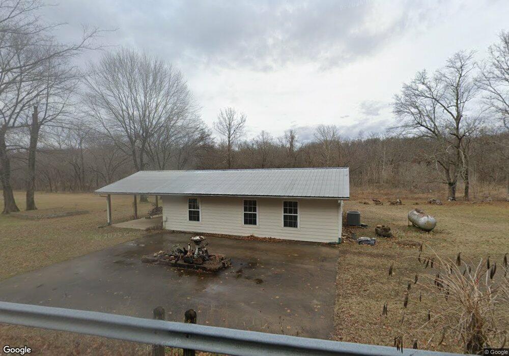
2233 Highway 82a Tahlequah, OK 74464
Estimated Value: $144,761 - $241,000
2
Beds
1
Bath
1,584
Sq Ft
$120/Sq Ft
Est. Value
About This Home
This home is located at 2233 Highway 82a, Tahlequah, OK 74464 and is currently estimated at $190,690, approximately $120 per square foot. 2233 Highway 82a is a home located in Cherokee County with nearby schools including Oaks-Mission Elementary School and Oaks-Mission High School.
Ownership History
Date
Name
Owned For
Owner Type
Purchase Details
Closed on
Oct 17, 2023
Sold by
Thorne Amadeus and Ayrahm Josiah
Bought by
Thorne Amadeus
Current Estimated Value
Purchase Details
Closed on
Jun 26, 2023
Sold by
Clinton Landa C
Bought by
Thorne Avrahm Josiah and Thorne Amadeus Solomon
Purchase Details
Closed on
Feb 6, 1997
Sold by
James and Patsy Clinton
Bought by
George and Landa Thorne
Create a Home Valuation Report for This Property
The Home Valuation Report is an in-depth analysis detailing your home's value as well as a comparison with similar homes in the area
Home Values in the Area
Average Home Value in this Area
Purchase History
| Date | Buyer | Sale Price | Title Company |
|---|---|---|---|
| Thorne Amadeus | -- | None Listed On Document | |
| Thorne Avrahm Josiah | -- | None Listed On Document | |
| Thorne Avrahm Josiah | -- | None Listed On Document | |
| George | $55,000 | -- |
Source: Public Records
Tax History Compared to Growth
Tax History
| Year | Tax Paid | Tax Assessment Tax Assessment Total Assessment is a certain percentage of the fair market value that is determined by local assessors to be the total taxable value of land and additions on the property. | Land | Improvement |
|---|---|---|---|---|
| 2025 | $158 | $2,295 | $592 | $1,703 |
| 2024 | $158 | $2,186 | $564 | $1,622 |
| 2023 | $158 | $2,082 | $564 | $1,518 |
| 2022 | $143 | $1,983 | $595 | $1,388 |
| 2021 | $143 | $1,983 | $595 | $1,388 |
| 2020 | $143 | $1,983 | $595 | $1,388 |
| 2019 | $143 | $1,983 | $595 | $1,388 |
| 2018 | $143 | $1,983 | $595 | $1,388 |
| 2017 | $397 | $6,513 | $146 | $6,367 |
| 2016 | $409 | $6,673 | $141 | $6,532 |
| 2015 | $360 | $6,479 | $564 | $5,915 |
| 2014 | $360 | $6,107 | $564 | $5,543 |
Source: Public Records
Map
Nearby Homes
- Hwy 82a Lot Unit WP001
- 0000 S Hwy 82 A
- 2002 N 530 Rd
- 4422 Highway 82a
- 0 0 Unit 1084047
- 177 S Military Rd
- 5690 E 570 Rd
- 0 N Oaks Rd Unit 2546541
- 0 N Oaks Rd Unit 1291349
- 1054 N Oaks Rd
- 4395 N Oaks Rd
- 7552 S 447 Rd
- Black Fox Hallow Rd
- 10250 E 580 Rd
- TBD S 520 Rd
- 6850 E 553 Rd
- 6850 E County Road 553
- 9336 U S 412
- 9336 S 412
- 56145 S 584 Rd
- 21912 N Old Toll Gate Rd
- 1992 N 556 Rd
- 22020 N Old Toll Gate Rd
- 22060 N Old Toll Gate Rd
- 2412 Highway 82a
- 2659 N Still Hill Ln
- 1767 N 556 Rd
- 2185 N 556 Rd
- 2197 N 556 Rd
- 2194 N 552 Rd
- 2556 Highway 82a
- 2566 Hwy 82 A
- 2205 N 545 Rd
- 2079 N 545 Rd
- 1981 N 545 Rd
- 2621 Highway 82a
- 1748 N 556 Rd
- 2081 N 545 Rd
- 22544 N Old Toll Gate Rd
- 22544 N Old Toll Gate Rd