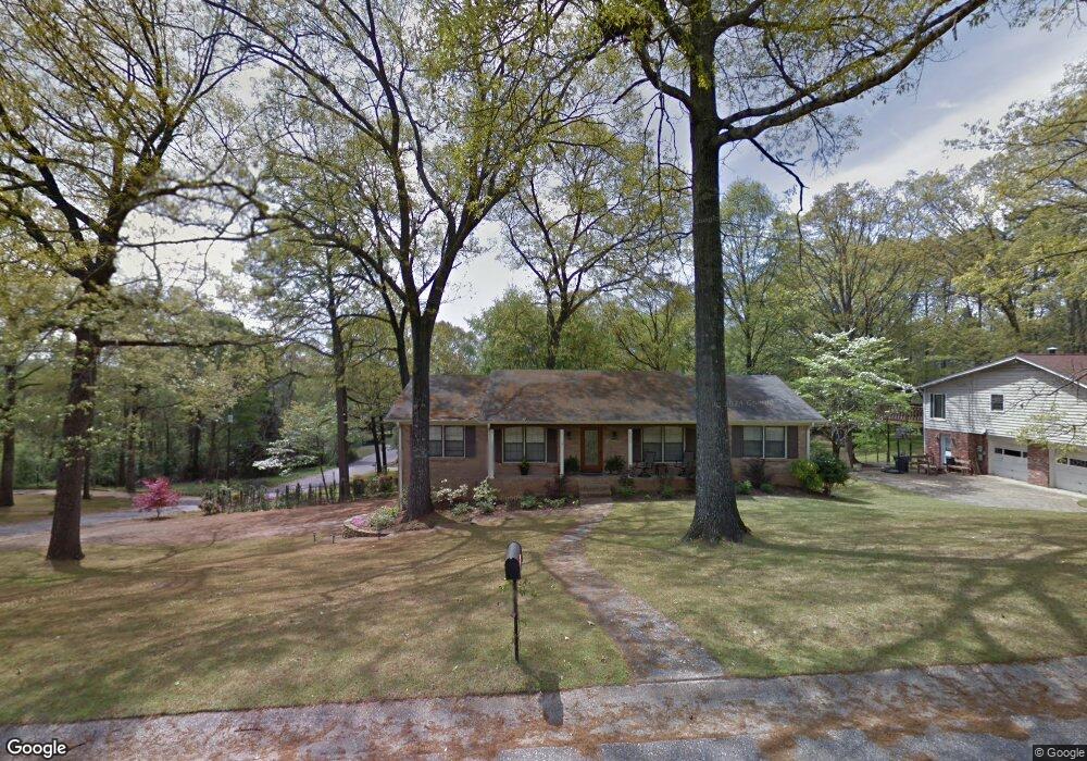
2233 Lynngate Dr Birmingham, AL 35216
Estimated Value: $355,489 - $389,000
3
Beds
2
Baths
1,860
Sq Ft
$199/Sq Ft
Est. Value
About This Home
This home is located at 2233 Lynngate Dr, Birmingham, AL 35216 and is currently estimated at $369,872, approximately $198 per square foot. 2233 Lynngate Dr is a home located in Jefferson County with nearby schools including Green Valley Elementary School, Ira F. Simmons Middle School, and Hoover High School.
Ownership History
Date
Name
Owned For
Owner Type
Purchase Details
Closed on
Feb 6, 2024
Sold by
Oubre Katherine
Bought by
Alabama Power Co
Current Estimated Value
Purchase Details
Closed on
Jan 30, 2009
Sold by
Corporate Housing Llc
Bought by
Oubre Katherine and Oubre Thomas
Home Financials for this Owner
Home Financials are based on the most recent Mortgage that was taken out on this home.
Original Mortgage
$150,800
Interest Rate
5.15%
Mortgage Type
New Conventional
Create a Home Valuation Report for This Property
The Home Valuation Report is an in-depth analysis detailing your home's value as well as a comparison with similar homes in the area
Home Values in the Area
Average Home Value in this Area
Purchase History
| Date | Buyer | Sale Price | Title Company |
|---|---|---|---|
| Alabama Power Co | -- | -- | |
| Oubre Katherine | $188,500 | None Available |
Source: Public Records
Mortgage History
| Date | Status | Borrower | Loan Amount |
|---|---|---|---|
| Previous Owner | Oubre Katherine | $150,800 |
Source: Public Records
Tax History Compared to Growth
Tax History
| Year | Tax Paid | Tax Assessment Tax Assessment Total Assessment is a certain percentage of the fair market value that is determined by local assessors to be the total taxable value of land and additions on the property. | Land | Improvement |
|---|---|---|---|---|
| 2024 | $1,935 | $27,380 | -- | -- |
| 2022 | $1,827 | $25,890 | $6,700 | $19,190 |
| 2021 | $1,698 | $24,110 | $6,700 | $17,410 |
| 2020 | $1,535 | $21,870 | $6,700 | $15,170 |
| 2019 | $1,337 | $19,140 | $0 | $0 |
| 2018 | $1,476 | $21,060 | $0 | $0 |
| 2017 | $1,348 | $19,300 | $0 | $0 |
| 2016 | $1,348 | $19,300 | $0 | $0 |
| 2015 | $1,348 | $19,300 | $0 | $0 |
| 2014 | $1,336 | $19,060 | $0 | $0 |
| 2013 | $1,336 | $19,060 | $0 | $0 |
Source: Public Records
Map
Nearby Homes
- 3408 Tal Heim Cir
- 2221 Rocky Ridge Rd
- 1104 Ashbury Square
- 3403 Cedar Crest Cir
- 3416 Cedar Crest Cir
- 3432 Cedar Crest Cir
- 152 Wisteria Dr Unit 11
- 3294 Warringwood Dr Unit B
- 2201 Myrtlewood Dr
- 3742 Spearman Dr
- 3173 Boxwood Dr
- 3298 Shallowford Cir
- 3282 Shallowford Cir
- 3321 Shallowford Rd
- 2158 Rocky Ridge Ranch Rd
- 2310 Old Rocky Ridge Rd
- 2401 Richelieu Ln
- 3830 Windhover Dr Unit 1
- 3810 Windhover Cir Unit 1
- 2300 Derby Dr
- 2229 Lynngate Dr
- 3460 Lynnshire Dr
- 2232 Lynngate Dr
- 2225 Lynngate Dr
- 3459 Lynnshire Dr
- 2228 Lynngate Dr
- 3457 Lynnshire Dr
- 2224 Lynngate Dr
- 3462 Lynnshire Dr
- 2221 Lynngate Dr
- 2220 Lynnchester Cir
- 2224 Lynnchester Cir
- 2220 Lynngate Dr
- 3450 Lynnshire Dr
- 3472 Tal Wood Dr
- 2216 Lynnchester Cir
- 2217 Lynngate Dr
- 2228 Lynnchester Cir
- 3468 Tal Wood Dr
- 3461 Lynnshire Dr