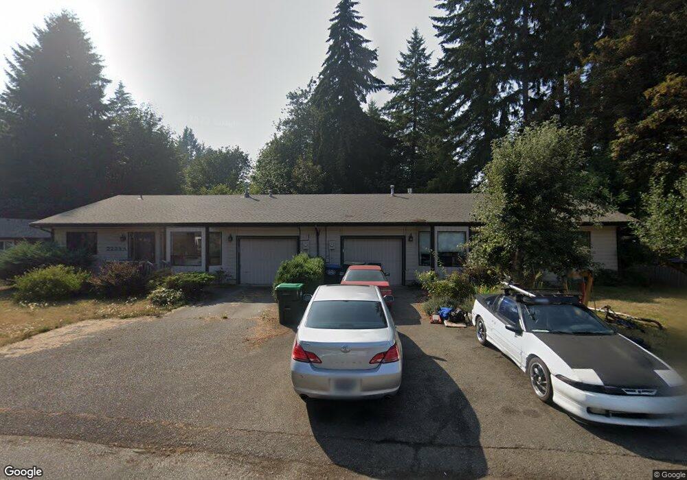
2233 Mciver Ct SW Unit A Tumwater, WA 98512
Littlerock NeighborhoodEstimated Value: $641,000 - $864,000
5
Beds
4
Baths
2,568
Sq Ft
$281/Sq Ft
Est. Value
About This Home
This home is located at 2233 Mciver Ct SW Unit A, Tumwater, WA 98512 and is currently estimated at $720,642, approximately $280 per square foot. 2233 Mciver Ct SW Unit A is a home located in Thurston County with nearby schools including Michael T. Simmons Elementary School, Tumwater Middle School, and A.G. West Black Hills High School.
Ownership History
Date
Name
Owned For
Owner Type
Purchase Details
Closed on
Dec 27, 2017
Sold by
Mccoy Bob and Amandes Mary
Bought by
Wood Jeffrey S and Wood Biene H
Current Estimated Value
Purchase Details
Closed on
Jun 29, 2016
Sold by
Mccoy Bob N and Amandes Mary R
Bought by
Bob Mccoy & Mary Amandes Living Trust
Create a Home Valuation Report for This Property
The Home Valuation Report is an in-depth analysis detailing your home's value as well as a comparison with similar homes in the area
Home Values in the Area
Average Home Value in this Area
Purchase History
| Date | Buyer | Sale Price | Title Company |
|---|---|---|---|
| Wood Jeffrey S | $369,722 | Chicago Title | |
| Bob Mccoy & Mary Amandes Living Trust | -- | None Available |
Source: Public Records
Tax History Compared to Growth
Tax History
| Year | Tax Paid | Tax Assessment Tax Assessment Total Assessment is a certain percentage of the fair market value that is determined by local assessors to be the total taxable value of land and additions on the property. | Land | Improvement |
|---|---|---|---|---|
| 2024 | $5,471 | $569,100 | $252,200 | $316,900 |
| 2023 | $5,471 | $546,600 | $228,700 | $317,900 |
| 2022 | $4,618 | $514,300 | $223,400 | $290,900 |
| 2021 | $4,711 | $392,400 | $157,100 | $235,300 |
| 2020 | $3,795 | $367,200 | $98,500 | $268,700 |
| 2019 | $3,981 | $286,700 | $119,400 | $167,300 |
| 2018 | $3,915 | $303,300 | $107,300 | $196,000 |
| 2017 | $3,460 | $263,700 | $71,900 | $191,800 |
| 2016 | $2,929 | $224,900 | $70,900 | $154,000 |
| 2014 | -- | $214,950 | $75,050 | $139,900 |
Source: Public Records
Map
Nearby Homes
- 6940 Littlerock Rd SW
- 6707 Miner Dr SW
- 6401 Brycen Ln SW Unit B
- 2411 Tumwater Blvd SW
- 2535 70th Ave SW Unit 18
- 2437 73rd Ave SW
- 2893 74th Ave SW Unit Lot104
- 2873 74th Ave SW Unit Lot106
- 7022 Lazy Ct SW
- 7340 Prine Dr SW
- 2828 71st Way SW
- 7303 Mirasett St SW Unit Lot 30
- 7309 Mirasett St SW Unit Lot 31
- 5630 Mimi St SW Unit Lot 10
- 7302 Jenner St SW Unit Lot 64
- 315 Dennis St SW
- 5654 Mimi St SW Unit Lot 4
- 5662 Mimi St SW Unit Lot 2
- 3021 70th Way SW
- 3019 Shalom Ct SW
- 2233 Mciver Ct SW Unit A & B
- 2221 Mciver Ct SW Unit B
- 2221 Mciver Ct SW Unit A
- 6730 Littlerock Rd SW
- 6804 Littlerock Rd SW
- 2230 Mciver Ct SW
- 2220 Mciver Ct SW
- 2209 Mciver Ct SW
- 2240 Mciver Ct SW Unit A
- 2210 Mciver Ct SW
- 6820 Littlerock Rd SW
- 6648 Littlerock Rd SW
- 6646 Littlerock Rd SW
- 6737 Littlerock Rd SW
- 6842 Littlerock Rd SW
- 6641 Glenwood Dr SW
- 6644 Littlerock Rd SW
- 6805 Littlerock Rd SW
- 6821 Littlerock Rd SW
- 6645 Littlerock Rd SW