2233 N 1000 W Thorntown, IN 46071
Estimated Value: $635,000 - $1,068,695
4
Beds
3
Baths
2,671
Sq Ft
$312/Sq Ft
Est. Value
About This Home
This home is located at 2233 N 1000 W, Thorntown, IN 46071 and is currently estimated at $833,565, approximately $312 per square foot. 2233 N 1000 W is a home located in Boone County with nearby schools including Western Boone Junior/Senior High School.
Ownership History
Date
Name
Owned For
Owner Type
Purchase Details
Closed on
Nov 12, 2013
Sold by
Taylor Clinton
Bought by
Taylor George Thomas and Taylor Janice Kay
Current Estimated Value
Purchase Details
Closed on
Mar 30, 2005
Sold by
Touseull Betty Lovell
Bought by
Taylor George Thomas and Taylor Janice Kay
Home Financials for this Owner
Home Financials are based on the most recent Mortgage that was taken out on this home.
Original Mortgage
$110,000
Outstanding Balance
$61,699
Interest Rate
7.25%
Mortgage Type
Future Advance Clause Open End Mortgage
Estimated Equity
$771,867
Create a Home Valuation Report for This Property
The Home Valuation Report is an in-depth analysis detailing your home's value as well as a comparison with similar homes in the area
Home Values in the Area
Average Home Value in this Area
Purchase History
| Date | Buyer | Sale Price | Title Company |
|---|---|---|---|
| Taylor George Thomas | -- | None Available | |
| Taylor George Thomas | -- | -- |
Source: Public Records
Mortgage History
| Date | Status | Borrower | Loan Amount |
|---|---|---|---|
| Open | Taylor George Thomas | $110,000 |
Source: Public Records
Tax History Compared to Growth
Tax History
| Year | Tax Paid | Tax Assessment Tax Assessment Total Assessment is a certain percentage of the fair market value that is determined by local assessors to be the total taxable value of land and additions on the property. | Land | Improvement |
|---|---|---|---|---|
| 2025 | $7,655 | $791,800 | $197,900 | $593,900 |
| 2024 | $7,655 | $814,400 | $210,400 | $604,000 |
| 2023 | $7,287 | $765,400 | $180,600 | $584,800 |
| 2022 | $9,186 | $857,300 | $149,300 | $708,000 |
| 2021 | $8,803 | $778,100 | $132,900 | $645,200 |
| 2020 | $8,258 | $727,600 | $132,100 | $595,500 |
| 2019 | $8,039 | $720,700 | $154,000 | $566,700 |
| 2018 | $7,715 | $696,900 | $158,000 | $538,900 |
| 2017 | $8,857 | $801,000 | $176,700 | $624,300 |
| 2016 | $8,676 | $810,000 | $185,300 | $624,700 |
| 2014 | $7,372 | $746,400 | $192,400 | $554,000 |
| 2013 | $8,073 | $720,900 | $177,600 | $543,300 |
Source: Public Records
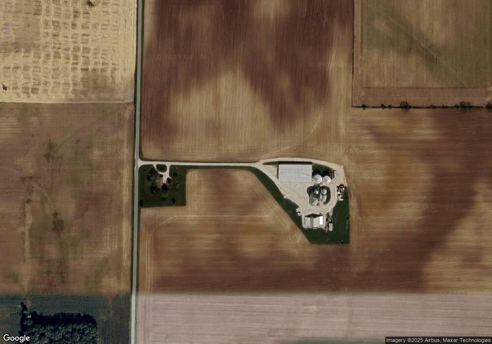
Map
Nearby Homes
- 7820 W State Road 32
- 440 Indiana 75
- 695 N 650 W
- 7159 W 50 S
- 690 N 600 W
- 1321 Locust Place
- 1323 Locust Place
- 6139 Westfall Dr
- Juniper Plan at Westfall Place
- Chestnut Plan at Westfall Place
- Walnut Plan at Westfall Place
- Ironwood Plan at Westfall Place
- Empress Plan at Westfall Place
- Ashton Plan at Westfall Place
- Spruce Plan at Westfall Place
- Palmetto Plan at Westfall Place
- Bradford Plan at Westfall Place
- Aspen II Plan at Westfall Place
- Norway Plan at Westfall Place
- Cooper Plan at Westfall Place