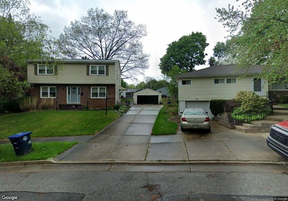
2233 Tyrone St Akron, OH 44312
Ellet NeighborhoodEstimated Value: $203,000 - $244,000
3
Beds
3
Baths
1,715
Sq Ft
$132/Sq Ft
Est. Value
About This Home
This home is located at 2233 Tyrone St, Akron, OH 44312 and is currently estimated at $227,007, approximately $132 per square foot. 2233 Tyrone St is a home located in Summit County with nearby schools including Ellet High School, Summit Academy Akron Elementary School, and Akron Preparatory school.
Ownership History
Date
Name
Owned For
Owner Type
Purchase Details
Closed on
Jun 1, 2021
Sold by
Denious Joann and Artnz Philip
Bought by
Currie Brittany and Perretta Joseph
Current Estimated Value
Home Financials for this Owner
Home Financials are based on the most recent Mortgage that was taken out on this home.
Original Mortgage
$179,450
Outstanding Balance
$162,470
Interest Rate
2.9%
Mortgage Type
New Conventional
Estimated Equity
$64,537
Create a Home Valuation Report for This Property
The Home Valuation Report is an in-depth analysis detailing your home's value as well as a comparison with similar homes in the area
Home Values in the Area
Average Home Value in this Area
Purchase History
| Date | Buyer | Sale Price | Title Company |
|---|---|---|---|
| Currie Brittany | $185,000 | American |
Source: Public Records
Mortgage History
| Date | Status | Borrower | Loan Amount |
|---|---|---|---|
| Open | Currie Brittany | $179,450 |
Source: Public Records
Tax History
| Year | Tax Paid | Tax Assessment Tax Assessment Total Assessment is a certain percentage of the fair market value that is determined by local assessors to be the total taxable value of land and additions on the property. | Land | Improvement |
|---|---|---|---|---|
| 2024 | $2,912 | $55,664 | $11,830 | $43,834 |
| 2015 | $2,314 | $31,790 | $6,870 | $24,920 |
| 2014 | $2,295 | $31,790 | $6,870 | $24,920 |
| 2013 | $2,348 | $33,260 | $6,870 | $26,390 |
Source: Public Records
Map
Nearby Homes
- 260 Prairie Dr
- 2331 E Market St
- 187 Highpoint Ave
- 228 Hawk Ave
- 110 Eastholm Ave
- 111 Akers Ave
- 2269 Emerald Dr
- 487 Hilbish Ave
- 20 Verdun Dr
- 2199 Kelty Ct Unit 29
- 2258 Mogadore Rd
- 274 Fulmer Ave
- 2382 Mogadore Rd
- 640 Plainfield Rd
- 26 Ansel Ave
- 37 Ansel Ave
- 147 Woolf Ave
- 2511 Ogden Ave
- 2226 Quayle Dr
- 114 Davenport Ave
- 2233 Tyrone St
- 323 Bender Ave
- 321 Bender Ave
- 2239 Tyrone St
- 327 Bender Ave
- 2252 Cramer Ave
- 317 Bender Ave Unit 319
- 2256 Cramer Ave
- 0 Cramer Ave
- 2244 Cramer Ave
- 2244 Cramer Ave
- 307 Bender Ave Unit 309
- 307 309 Bender Ave
- 2260 Cramer Ave
- 2232 Tyrone St
- 2249 Tyrone St
- 2238 Tyrone St
- 2228 Tyrone St
- 0 Bender Ave
- 303 Bender Ave
Your Personal Tour Guide
Ask me questions while you tour the home.