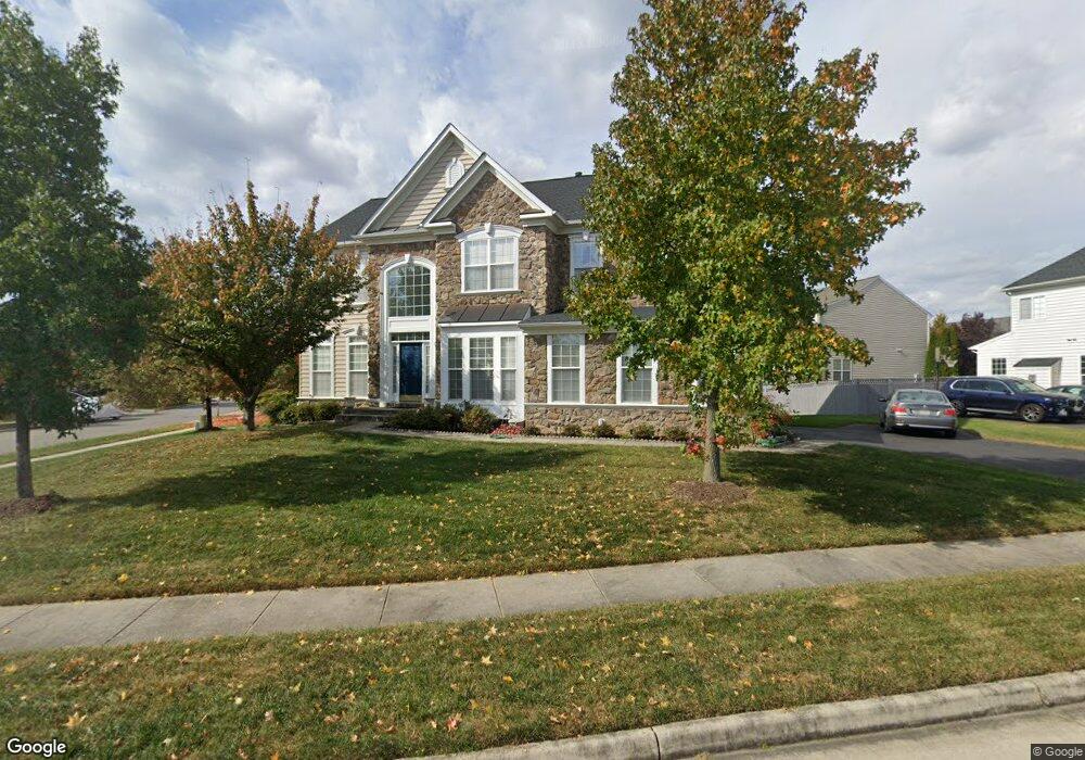
22336 Lost Branch Cir Ashburn, VA 20148
Estimated Value: $1,029,175 - $1,221,000
4
Beds
3
Baths
--
Sq Ft
9,148
Sq Ft Lot
About This Home
This home is located at 22336 Lost Branch Cir, Ashburn, VA 20148 and is currently estimated at $1,123,794. 22336 Lost Branch Cir is a home located in Loudoun County with nearby schools including Moorefield Station Elementary School, Rock Ridge High School, and Golden Pond School - Golden Pond.
Ownership History
Date
Name
Owned For
Owner Type
Purchase Details
Closed on
Jun 30, 2008
Sold by
Richmond American Homes O
Bought by
Wang Chi
Current Estimated Value
Home Financials for this Owner
Home Financials are based on the most recent Mortgage that was taken out on this home.
Original Mortgage
$479,200
Outstanding Balance
$309,146
Interest Rate
6.07%
Mortgage Type
New Conventional
Estimated Equity
$814,648
Create a Home Valuation Report for This Property
The Home Valuation Report is an in-depth analysis detailing your home's value as well as a comparison with similar homes in the area
Home Values in the Area
Average Home Value in this Area
Purchase History
| Date | Buyer | Sale Price | Title Company |
|---|---|---|---|
| Wang Chi | $599,000 | -- |
Source: Public Records
Mortgage History
| Date | Status | Borrower | Loan Amount |
|---|---|---|---|
| Open | Wang Chi | $479,200 |
Source: Public Records
Tax History Compared to Growth
Tax History
| Year | Tax Paid | Tax Assessment Tax Assessment Total Assessment is a certain percentage of the fair market value that is determined by local assessors to be the total taxable value of land and additions on the property. | Land | Improvement |
|---|---|---|---|---|
| 2025 | $8,339 | $1,035,910 | $323,800 | $712,110 |
| 2024 | $8,397 | $970,790 | $308,800 | $661,990 |
| 2023 | $8,088 | $924,370 | $308,800 | $615,570 |
| 2022 | $7,758 | $871,710 | $288,800 | $582,910 |
| 2021 | $7,171 | $731,720 | $243,800 | $487,920 |
| 2020 | $7,093 | $685,300 | $223,800 | $461,500 |
| 2019 | $6,837 | $654,260 | $198,800 | $455,460 |
| 2018 | $7,151 | $659,110 | $178,800 | $480,310 |
| 2017 | $6,895 | $612,930 | $178,800 | $434,130 |
| 2016 | $6,784 | $592,450 | $0 | $0 |
| 2015 | $7,081 | $445,120 | $0 | $445,120 |
| 2014 | $7,027 | $429,570 | $0 | $429,570 |
Source: Public Records
Map
Nearby Homes
- 43157 Clarendon Square
- 22275 Sims Terrace
- 43400 Apple Orchard Square
- 43360 Southland St
- 43361 Radford Divide Terrace
- 22613 Naugatuck Square
- 22317 Seabring Terrace
- 43466 Grandmoore St
- 22477 Foundation Dr
- 22260 Cornerstone Crossing Terrace
- 43437 Monroe Crest Terrace
- 22131 Little Mount Terrace
- 22361 Roanoke Rise Terrace
- 43495 Monroe Crest Terrace
- 22381 Roanoke Rise Terrace
- 22141 Midmoore Dr
- 22143 Little Mount Terrace
- 22153 Midmoore Dr
- 22116 Little Mount Terrace
- 22122 Little Mount Terrace
- 43184 Longfeather Way
- 22340 Lost Branch Cir
- 43187 Amberleigh Farm Dr
- 22328 Lost Branch Cir
- 22341 Lost Branch Cir
- 43185 Longfeather Way
- 43181 Longfeather Way
- 43203 Amberleigh Farm Dr
- 22324 Lost Branch Cir
- 22245 Splitrock Way
- 43186 Amberleigh Farm Dr
- 43198 Amberleigh Farm Dr
- 22320 Lost Branch Cir
- 43177 Longfeather Way
- 43207 Amberleigh Farm Dr
- 43172 Longfeather Way
- 22316 Lost Branch Cir
- 43175 Amberleigh Farm Dr
- 22240 Fairlawn Dr
- 22244 Splitrock Way