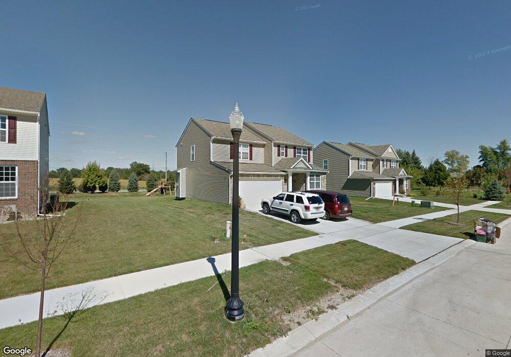
22339 Natalie Dr Macomb, MI 48042
Estimated Value: $472,835 - $621,000
4
Beds
3
Baths
2,433
Sq Ft
$215/Sq Ft
Est. Value
About This Home
This home is located at 22339 Natalie Dr, Macomb, MI 48042 and is currently estimated at $523,709, approximately $215 per square foot. 22339 Natalie Dr is a home with nearby schools including New Haven High School, St. Peter Lutheran School, and Austin Catholic Academy.
Ownership History
Date
Name
Owned For
Owner Type
Purchase Details
Closed on
Dec 7, 2012
Sold by
Se Michigan Land Holding Llc
Bought by
Lambardo Homes Of Se Michigan Llc
Current Estimated Value
Purchase Details
Closed on
Dec 6, 2012
Sold by
Lombardo Homes Of Se Michigan Llc
Bought by
Gladieux Michael
Purchase Details
Closed on
May 18, 2009
Sold by
Elan Estates Corp
Bought by
S E Michigan Development Llc
Create a Home Valuation Report for This Property
The Home Valuation Report is an in-depth analysis detailing your home's value as well as a comparison with similar homes in the area
Home Values in the Area
Average Home Value in this Area
Purchase History
| Date | Buyer | Sale Price | Title Company |
|---|---|---|---|
| Lambardo Homes Of Se Michigan Llc | -- | Greater Macomb Title Agency | |
| Gladieux Michael | $211,606 | Greater Macomb Title Agency | |
| S E Michigan Development Llc | -- | None Available |
Source: Public Records
Tax History Compared to Growth
Tax History
| Year | Tax Paid | Tax Assessment Tax Assessment Total Assessment is a certain percentage of the fair market value that is determined by local assessors to be the total taxable value of land and additions on the property. | Land | Improvement |
|---|---|---|---|---|
| 2025 | $4,541 | $213,400 | $0 | $0 |
| 2024 | $2,793 | $206,900 | $0 | $0 |
| 2023 | $2,647 | $185,000 | $0 | $0 |
| 2022 | $4,018 | $161,300 | $0 | $0 |
| 2021 | $3,906 | $151,800 | $0 | $0 |
| 2020 | $2,433 | $149,600 | $0 | $0 |
| 2019 | $3,615 | $141,900 | $0 | $0 |
| 2018 | $3,400 | $135,900 | $0 | $0 |
| 2017 | $3,334 | $127,020 | $29,500 | $97,520 |
| 2016 | $3,430 | $127,020 | $0 | $0 |
| 2015 | $3,167 | $117,470 | $0 | $0 |
| 2014 | $3,167 | $104,430 | $16,500 | $87,930 |
| 2011 | -- | $14,500 | $14,500 | $0 |
Source: Public Records
Map
Nearby Homes
- 52634 Delena Dr
- 22211 24 Mile Rd
- 52966 Ansonia Way Unit 36
- 22495 24 Mile Rd
- 52527 Stafford Dr
- 00 24 Mile Rd
- 21862 Hanover Dr
- 52885 Ansonia Way
- 21925 Andover Dr
- 22059 Aberdeen Dr Unit 71
- 21904 Aberdeen Dr
- 22258 Prairie Dr
- 52149 Naugatuck Dr Unit 27
- Woodside Plan at Deerbrook
- Hilltop Plan at Deerbrook
- Greenfield Plan at Deerbrook
- Riverton Plan at Deerbrook
- Willwood Plan at Deerbrook
- 52590 North Ave
- 22429 Orchard Brook Ct
- 22357 Natalie Dr
- 22321 Natalie Dr
- 22303 Natalie Dr
- 52850 Delena Dr
- 22285 Natalie Dr
- 22298 Natalie Dr
- 22490 24 Mile Rd
- 52826 Delena Dr
- 22280 Natalie Dr
- 22267 Natalie Dr
- 22262 Natalie Dr
- 52802 Delena Dr
- 22249 Natalie Dr
- 22299 Rhys Dr
- 22281 Rhys Dr
- 52778 Delena Dr
- 22244 Natalie Dr
- 22263 Rhys Dr
- 22231 Natalie Dr
- 22245 Rhys Dr