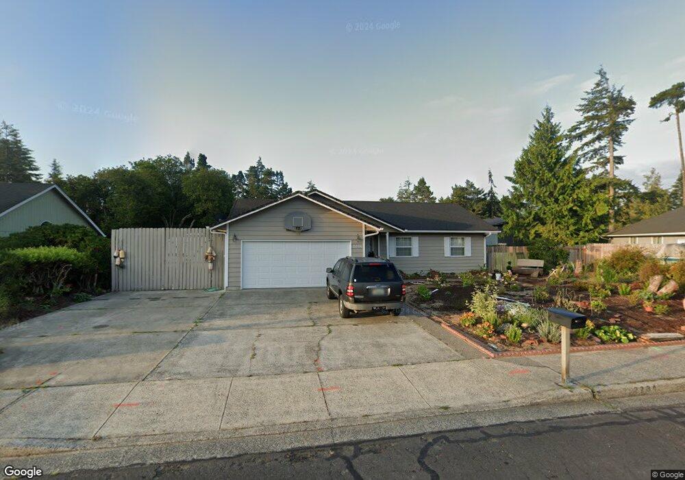
2234 21st St Florence, OR 97439
Estimated Value: $439,993 - $512,000
2
Beds
2
Baths
1,419
Sq Ft
$327/Sq Ft
Est. Value
About This Home
This home is located at 2234 21st St, Florence, OR 97439 and is currently estimated at $463,498, approximately $326 per square foot. 2234 21st St is a home located in Lane County with nearby schools including Siuslaw Elementary School, Siuslaw Middle School, and Siuslaw High School.
Ownership History
Date
Name
Owned For
Owner Type
Purchase Details
Closed on
Nov 21, 2011
Sold by
Ertman Martha Louise
Bought by
Ertman Martha Louise
Current Estimated Value
Home Financials for this Owner
Home Financials are based on the most recent Mortgage that was taken out on this home.
Original Mortgage
$128,000
Outstanding Balance
$87,132
Interest Rate
4.06%
Mortgage Type
New Conventional
Estimated Equity
$376,366
Purchase Details
Closed on
Nov 16, 2011
Sold by
Ertman Martha Louise and Ertman Martha Louise
Bought by
Lindelin Kraig R and Cape Lindelin Monica L
Home Financials for this Owner
Home Financials are based on the most recent Mortgage that was taken out on this home.
Original Mortgage
$128,000
Outstanding Balance
$87,132
Interest Rate
4.06%
Mortgage Type
New Conventional
Estimated Equity
$376,366
Create a Home Valuation Report for This Property
The Home Valuation Report is an in-depth analysis detailing your home's value as well as a comparison with similar homes in the area
Home Values in the Area
Average Home Value in this Area
Purchase History
| Date | Buyer | Sale Price | Title Company |
|---|---|---|---|
| Ertman Martha Louise | -- | None Available | |
| Ertman Martha Louise | -- | First American Title Ins Co | |
| Lindelin Kraig R | $160,000 | First American Title Ins Co |
Source: Public Records
Mortgage History
| Date | Status | Borrower | Loan Amount |
|---|---|---|---|
| Open | Lindelin Kraig R | $128,000 |
Source: Public Records
Tax History Compared to Growth
Tax History
| Year | Tax Paid | Tax Assessment Tax Assessment Total Assessment is a certain percentage of the fair market value that is determined by local assessors to be the total taxable value of land and additions on the property. | Land | Improvement |
|---|---|---|---|---|
| 2025 | $3,437 | $251,865 | -- | -- |
| 2024 | $3,337 | $244,530 | -- | -- |
| 2023 | $3,337 | $237,408 | $0 | $0 |
| 2022 | $3,113 | $230,494 | $0 | $0 |
| 2021 | $3,049 | $223,781 | $0 | $0 |
| 2020 | $2,969 | $217,264 | $0 | $0 |
| 2019 | $2,858 | $210,936 | $0 | $0 |
| 2018 | $2,864 | $198,828 | $0 | $0 |
| 2017 | $2,762 | $198,828 | $0 | $0 |
| 2016 | $2,684 | $193,037 | $0 | $0 |
| 2015 | $2,627 | $187,415 | $0 | $0 |
| 2014 | $2,599 | $181,956 | $0 | $0 |
Source: Public Records
Map
Nearby Homes
- 1925 Upas St
- 2270 Upas Place
- 2385 19th St
- 1868 Tamarack St
- 2045 19th St
- 2040 23rd St
- 2215 24th St
- 2131 Willow Loop E
- 151 Outer Dr
- 154 Outer Dr
- 2105 16th St
- 253 Outer Dr
- 248 Horseshoe Bend
- 225 Azalea St
- 238 Horseshoe Bend
- 2332 Rosemary Ct
- 223 Azalea St
- 0 Tamarack St
- 231 Horseshoe Bend
- 2148 Willow Loop E