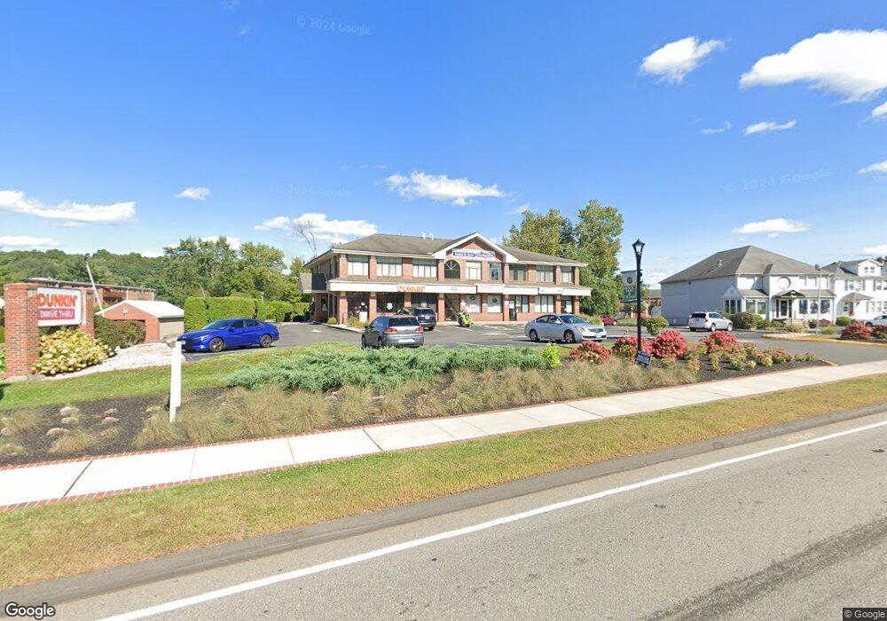
2234 Silas Deane Hwy Rocky Hill, CT 06067
--
Bed
1
Bath
10,414
Sq Ft
--
Built
About This Home
This home is located at 2234 Silas Deane Hwy, Rocky Hill, CT 06067. 2234 Silas Deane Hwy is a home located in Hartford County with nearby schools including Albert D. Griswold Middle School, Rocky Hill High School, and Corpus Christi School.
Ownership History
Date
Name
Owned For
Owner Type
Purchase Details
Closed on
Nov 2, 1998
Sold by
Glastonbury B & T Co
Bought by
Wethersfield Rlty Llc
Home Financials for this Owner
Home Financials are based on the most recent Mortgage that was taken out on this home.
Original Mortgage
$1,113,000
Outstanding Balance
$300,619
Interest Rate
9.25%
Mortgage Type
Commercial
Purchase Details
Closed on
Mar 20, 1987
Sold by
Harrington Neil
Bought by
Laraway Terry
Create a Home Valuation Report for This Property
The Home Valuation Report is an in-depth analysis detailing your home's value as well as a comparison with similar homes in the area
Home Values in the Area
Average Home Value in this Area
Purchase History
| Date | Buyer | Sale Price | Title Company |
|---|---|---|---|
| Wethersfield Rlty Llc | $588,000 | -- | |
| Wethersfield Rlty Llc | $588,000 | -- | |
| Laraway Terry | $49,900 | -- |
Source: Public Records
Mortgage History
| Date | Status | Borrower | Loan Amount |
|---|---|---|---|
| Open | Laraway Terry | $545,000 | |
| Open | Laraway Terry | $1,113,000 | |
| Closed | Laraway Terry | $1,113,000 |
Source: Public Records
Tax History Compared to Growth
Tax History
| Year | Tax Paid | Tax Assessment Tax Assessment Total Assessment is a certain percentage of the fair market value that is determined by local assessors to be the total taxable value of land and additions on the property. | Land | Improvement |
|---|---|---|---|---|
| 2025 | $26,701 | $882,980 | $265,930 | $617,050 |
| 2024 | $25,757 | $882,980 | $265,930 | $617,050 |
| 2023 | $27,842 | $775,110 | $262,150 | $512,960 |
| 2022 | $26,757 | $775,110 | $262,150 | $512,960 |
| 2021 | $26,431 | $775,110 | $262,150 | $512,960 |
| 2020 | $26,044 | $775,110 | $262,150 | $512,960 |
| 2019 | $25,191 | $775,110 | $262,150 | $512,960 |
| 2018 | $24,699 | $762,300 | $216,160 | $546,140 |
| 2017 | $24,089 | $762,300 | $216,160 | $546,140 |
| 2016 | $23,631 | $762,300 | $216,160 | $546,140 |
| 2015 | $22,640 | $762,300 | $216,160 | $546,140 |
| 2014 | $22,640 | $762,300 | $216,160 | $546,140 |
Source: Public Records
Map
Nearby Homes
- 71 Joiners Rd
- 59 Chapin Ave
- 74 Grimes Rd
- 12 Colonial Dr Unit C
- 18 Colonial Dr Unit A
- 28 Colonial Dr Unit D
- 40 Grimes Rd
- 1610 Silas Deane Hwy
- 19 Brookwood Dr Unit C
- 37 Carillon Dr Unit A
- 21 Carillon Dr Unit B
- 32 Jennifers Way
- 4 Lexington Ct
- 2843 Main St
- 20 Nessa Way
- 89 Gilbert Ave
- 37 Deming Rd
- 7 Pearl Ln
- 650 Maple St
- 37 Two Stone Dr
- 2102 Harbor View Dr Unit 2102B
- 2102 Harbor View Dr Unit B
- 2102 Harbor View Dr Unit A
- 2222 Silas Deane Hwy
- 28 Church St
- 2257 Silas Deane Hwy Unit 4
- 2257 Silas Deane Hwy Unit Suite 4
- 2257 Silas Deane Hwy
- 2264 Silas Deane Hwy
- 2406 Harbor View Dr
- 2245 Silas Deane Hwy
- 2422 Harbor View Dr
- 2420 Harbor View Dr
- 2418 Harbor View Dr
- 2416 Harbor View Dr
- 2414 Harbor View Dr
- 2412 Harbor View Dr
- 2410 Harbor View Dr
- 2408 Harbor View Dr
- 2404 Harbor View Dr