2235 Cammie Ln Elberton, GA 30635
Estimated Value: $336,000 - $439,000
3
Beds
3
Baths
1,732
Sq Ft
$220/Sq Ft
Est. Value
About This Home
This home is located at 2235 Cammie Ln, Elberton, GA 30635 and is currently estimated at $380,325, approximately $219 per square foot. 2235 Cammie Ln is a home with nearby schools including Elbert County Primary School, Elbert County Elementary School, and Elbert County Middle School.
Ownership History
Date
Name
Owned For
Owner Type
Purchase Details
Closed on
Dec 15, 2016
Sold by
Charles C
Bought by
Wise Sobczuk Angela E
Current Estimated Value
Home Financials for this Owner
Home Financials are based on the most recent Mortgage that was taken out on this home.
Original Mortgage
$18,400
Interest Rate
3.94%
Mortgage Type
New Conventional
Purchase Details
Closed on
Oct 3, 2002
Sold by
King Rayford E
Bought by
King Charles C and King Sandra L
Purchase Details
Closed on
Aug 1, 1990
Create a Home Valuation Report for This Property
The Home Valuation Report is an in-depth analysis detailing your home's value as well as a comparison with similar homes in the area
Home Values in the Area
Average Home Value in this Area
Purchase History
| Date | Buyer | Sale Price | Title Company |
|---|---|---|---|
| Wise Sobczuk Angela E | $30,000 | -- | |
| King Charles C | -- | -- | |
| -- | $16,500 | -- |
Source: Public Records
Mortgage History
| Date | Status | Borrower | Loan Amount |
|---|---|---|---|
| Closed | Wise Sobczuk Angela E | $18,400 |
Source: Public Records
Tax History Compared to Growth
Tax History
| Year | Tax Paid | Tax Assessment Tax Assessment Total Assessment is a certain percentage of the fair market value that is determined by local assessors to be the total taxable value of land and additions on the property. | Land | Improvement |
|---|---|---|---|---|
| 2024 | $2,847 | $120,723 | $9,881 | $110,842 |
| 2023 | $2,536 | $107,756 | $9,874 | $97,882 |
| 2022 | $2,536 | $107,756 | $9,874 | $97,882 |
| 2021 | $2,540 | $108,830 | $9,881 | $98,949 |
| 2020 | $2,211 | $83,359 | $8,234 | $75,125 |
| 2019 | $2,106 | $76,587 | $8,234 | $68,353 |
| 2018 | $1,966 | $74,329 | $8,234 | $66,095 |
| 2017 | $323 | $10,293 | $10,293 | $0 |
| 2016 | $302 | $10,293 | $10,293 | $0 |
| 2015 | -- | $10,293 | $10,293 | $0 |
| 2014 | -- | $10,293 | $10,293 | $0 |
| 2013 | -- | $10,293 | $10,293 | $0 |
Source: Public Records
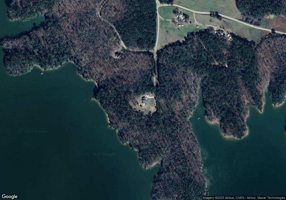
Map
Nearby Homes
- 2917 Ruckersville Rd
- 2921 Ruckersville Rd
- 2316 Payton Dr
- 0 Pine Ridge Dr Unit LotWP001
- 4 Horseshoe Pointe Dr
- 0 Dockside Dr
- 24 Dockside Dr
- 0 Pickens Point Dr Unit 10588711
- 0 Pickens Point Dr Unit CL337116
- 1859 William Smith Rd
- 2126 Amberly Rd
- 1051 Bluff Rd
- 2187 Turner Hill Rd
- 000 Osprey Way
- 1661 G R Hayes Dr
- 2193 Ruckersville Rd
- 0 Anderson Hwy Unit 24629664
- 0 Anderson Hwy Unit 10536298
- 2920 Ruckersville Rd
- 1272 Horseshoe Rd
- 2060 Coldwater Cir
- 2194 Cammie Ln
- 2416 Cleveland Dr
- 2485 Cleveland Dr
- 0 Coldwater Cir Unit 8813991
- 0 Coldwater Cir Unit 15 8573549
- 2026 Coldwater Cir
- 2026 Coldwater Cir
- 2 A Cleveland Dr
- 19B Coldwater Creek
- 2579 Cleveland Dr
- 2575 Cleveland Dr
- 2427 Cleveland Dr
- 2396 Cleveland Dr
- 2368 Cleveland Dr
- 2577 Cleveland Dr
- 2895 Ruckersville Rd
- 2354 Cleveland Dr
- 2921 2921 Ruckersville Rd
- 0 Cleveland Dr Unit 8379536