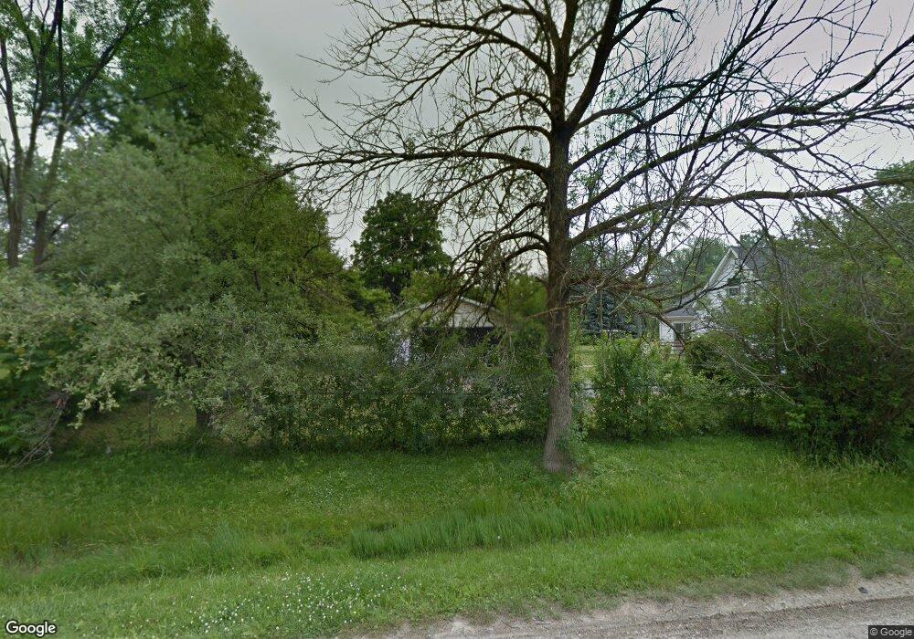
Estimated Value: $98,000 - $121,000
3
Beds
1
Bath
1,008
Sq Ft
$107/Sq Ft
Est. Value
About This Home
This home is located at 2235 Diamond Ave, Flint, MI 48532 and is currently estimated at $107,575, approximately $106 per square foot. 2235 Diamond Ave is a home located in Genesee County with nearby schools including Carman-Ainsworth High School, Genesee STEM Academy, and St. Paul Lutheran School.
Ownership History
Date
Name
Owned For
Owner Type
Purchase Details
Closed on
May 23, 2011
Sold by
Us Bank National Association
Bought by
Boyd Karen S
Current Estimated Value
Purchase Details
Closed on
Jun 9, 2010
Sold by
Morley Jeannie N
Bought by
Us Bank National Association
Purchase Details
Closed on
May 24, 2004
Sold by
The John B & Orva L Wild Revocable Trust
Bought by
Morley Jeannie N
Purchase Details
Closed on
Sep 13, 1999
Sold by
Wild John and Wild Orva L
Bought by
Wild John B and Wild Orva L
Create a Home Valuation Report for This Property
The Home Valuation Report is an in-depth analysis detailing your home's value as well as a comparison with similar homes in the area
Home Values in the Area
Average Home Value in this Area
Purchase History
| Date | Buyer | Sale Price | Title Company |
|---|---|---|---|
| Boyd Karen S | $6,500 | Attorneys Title Agency Llc | |
| Us Bank National Association | $66,396 | None Available | |
| Morley Jeannie N | $79,000 | Sargents Title Company | |
| Wild John B | -- | -- |
Source: Public Records
Tax History Compared to Growth
Tax History
| Year | Tax Paid | Tax Assessment Tax Assessment Total Assessment is a certain percentage of the fair market value that is determined by local assessors to be the total taxable value of land and additions on the property. | Land | Improvement |
|---|---|---|---|---|
| 2025 | $1,711 | $43,300 | $0 | $0 |
| 2024 | $963 | $38,200 | $0 | $0 |
| 2023 | $882 | $31,500 | $0 | $0 |
| 2022 | $617 | $0 | $0 | $0 |
| 2021 | $302 | $26,800 | $0 | $0 |
| 2020 | $774 | $22,800 | $0 | $0 |
| 2019 | $439 | $19,700 | $0 | $0 |
| 2018 | $1,390 | $23,100 | $0 | $0 |
| 2017 | $1,472 | $23,100 | $0 | $0 |
| 2016 | $1,385 | $20,700 | $0 | $0 |
| 2015 | $776 | $20,100 | $0 | $0 |
| 2014 | $460 | $19,300 | $0 | $0 |
| 2012 | -- | $22,900 | $22,900 | $0 |
Source: Public Records
Map
Nearby Homes
- 18.41 Taft Rd
- 4108 Brown St
- 10 Acres T A Mansour Blvd
- 2470 Tandy Dr
- 4335 Lennon Rd
- 3011 Curtis Dr
- 3045 Old Farm Rd
- 1455 S Linden Rd
- 1512 Crescent Lane Dr Lot#46
- 4474 Corunna Rd
- 3075 Wagon Trail
- 1540 Pound Dr
- 4480 Corunna Rd
- 3088 Curtis Dr
- 4490 W Lennon Rd
- 3321 Hogarth Ave
- 3107 Curtis Dr
- 3139 Red Barn Rd
- 4199 Sheraton Dr
- 3277 Whitney Ave
- 2247 Diamond Ave
- 2201 Diamond Ave
- 2234 Monaco St
- 2228 Monaco St
- 2222 Monaco St
- 2236 Diamond Ave
- 4223 Larchmont St
- 2248 Diamond Ave
- 2250 Monaco St
- 2253 Diamond Ave
- 2221 Dutcher St
- 2206 Monaco St
- 2199 Diamond Ave
- 2235 Dutcher St
- 2253 Dutcher St
- 4165 Larchmont St
- 2202 Diamond Ave
- 2261 Dutcher St
- 4221 Corbin Dr
- 4221 Corbin Dr
