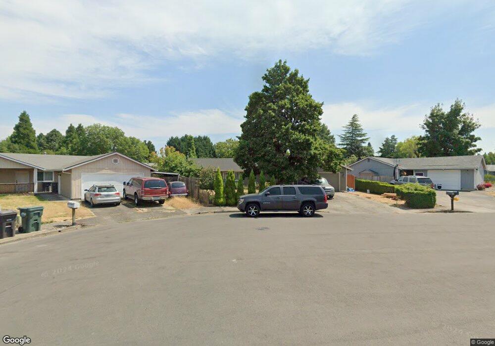
2235 NE Poynter St Hillsboro, OR 97124
Central Hillsboro NeighborhoodEstimated Value: $433,000 - $452,000
3
Beds
2
Baths
1,146
Sq Ft
$388/Sq Ft
Est. Value
About This Home
This home is located at 2235 NE Poynter St, Hillsboro, OR 97124 and is currently estimated at $444,747, approximately $388 per square foot. 2235 NE Poynter St is a home located in Washington County with nearby schools including Eastwood Elementary School, J.W. Poynter Middle School, and Liberty High School.
Ownership History
Date
Name
Owned For
Owner Type
Purchase Details
Closed on
Dec 28, 2006
Sold by
Larson Rudolph W and Larson Thurid
Bought by
Miranda Juan Luis and Gonzalez Victoria Lopez
Current Estimated Value
Home Financials for this Owner
Home Financials are based on the most recent Mortgage that was taken out on this home.
Original Mortgage
$44,800
Interest Rate
5.89%
Mortgage Type
Stand Alone Second
Create a Home Valuation Report for This Property
The Home Valuation Report is an in-depth analysis detailing your home's value as well as a comparison with similar homes in the area
Home Values in the Area
Average Home Value in this Area
Purchase History
| Date | Buyer | Sale Price | Title Company |
|---|---|---|---|
| Miranda Juan Luis | $224,000 | First American |
Source: Public Records
Mortgage History
| Date | Status | Borrower | Loan Amount |
|---|---|---|---|
| Closed | Miranda Juan Luis | $44,800 | |
| Open | Miranda Juan Luis | $179,200 |
Source: Public Records
Tax History Compared to Growth
Tax History
| Year | Tax Paid | Tax Assessment Tax Assessment Total Assessment is a certain percentage of the fair market value that is determined by local assessors to be the total taxable value of land and additions on the property. | Land | Improvement |
|---|---|---|---|---|
| 2025 | $2,959 | $181,020 | -- | -- |
| 2024 | $2,875 | $175,750 | -- | -- |
| 2023 | $2,875 | $170,640 | $0 | $0 |
| 2022 | $2,797 | $170,640 | $0 | $0 |
| 2021 | $2,741 | $160,850 | $0 | $0 |
| 2020 | $2,682 | $156,170 | $0 | $0 |
| 2019 | $2,605 | $151,630 | $0 | $0 |
| 2018 | $2,493 | $147,220 | $0 | $0 |
| 2017 | $2,403 | $142,940 | $0 | $0 |
| 2016 | $2,337 | $138,780 | $0 | $0 |
| 2015 | $2,243 | $134,740 | $0 | $0 |
| 2014 | $2,230 | $130,820 | $0 | $0 |
Source: Public Records
Map
Nearby Homes
- 2570 NE Grant St
- 2411 NE Hyde St
- 1822 NE Barberry Dr
- 319 NE Hyde Cir
- 461 NE 16th Ave
- 2080 NE Darby St
- 1740 NE Darby St
- 1303 NE Cornell Rd
- 1269 NE Grant St
- 1184 NE Turner Dr
- 1455 NE Jessica Loop
- 1442 NE 14th Ave
- 1043 NE Sturgess Ave
- 1450 NE Sunrise Ln
- 3029 NE Azalea St
- 240 SE 26th Ave
- 1112 E Main St
- 166 SE 30th Ave
- 3585 NE Brogden St
- 439 SE 24th Ave
- 2265 NE Poynter St
- 2217 NE Poynter St
- 2297 NE Poynter St
- 2279 NE Poynter St
- 2335 NE Poynter St
- 2199 NE Poynter St
- 2183 NE Poynter St
- 2173 NE Poynter St
- 2155 NE Poynter St
- 2343 NE Poynter St
- 2266 NE Poynter St
- 2151 NE Poynter St
- 2234 NE Poynter St
- 2288 NE Poynter St
- 2387 NE Poynter St
- 2182 NE Poynter St
- 2320 NE Poynter St
- 2369 NE Poynter St
- 764 NE 21st Ave
- 786 NE 21st Ave