2235 Port Stanley Rd Lopez Island, WA 98261
Estimated Value: $1,587,000 - $2,314,000
4
Beds
4
Baths
3,619
Sq Ft
$533/Sq Ft
Est. Value
About This Home
This home is located at 2235 Port Stanley Rd, Lopez Island, WA 98261 and is currently estimated at $1,927,888, approximately $532 per square foot. 2235 Port Stanley Rd is a home located in San Juan County with nearby schools including Lopez Elementary School and Lopez Middle High School.
Ownership History
Date
Name
Owned For
Owner Type
Purchase Details
Closed on
Feb 15, 2024
Sold by
Lopez Driftwood Llc
Bought by
Richard Strachan Revocable Trust and Strachan
Current Estimated Value
Purchase Details
Closed on
Apr 17, 2022
Sold by
Richard Strachan Revocable Trust
Bought by
Lopez Driftwood Llc
Purchase Details
Closed on
Mar 25, 2022
Sold by
Karpen Richard J and Karpen Marjorie J
Bought by
Strachan Richard
Purchase Details
Closed on
Mar 24, 2022
Sold by
Ginni Keith
Bought by
Strachan Richard
Create a Home Valuation Report for This Property
The Home Valuation Report is an in-depth analysis detailing your home's value as well as a comparison with similar homes in the area
Home Values in the Area
Average Home Value in this Area
Purchase History
| Date | Buyer | Sale Price | Title Company |
|---|---|---|---|
| Richard Strachan Revocable Trust | -- | None Listed On Document | |
| Lopez Driftwood Llc | -- | Perkins Coie Llp | |
| Richard Strachan Revocable Trust | -- | Perkins Coie Llp | |
| Strachan Richard | $3,200,000 | New Title Company Name | |
| Strachan Richard | -- | New Title Company Name |
Source: Public Records
Tax History Compared to Growth
Tax History
| Year | Tax Paid | Tax Assessment Tax Assessment Total Assessment is a certain percentage of the fair market value that is determined by local assessors to be the total taxable value of land and additions on the property. | Land | Improvement |
|---|---|---|---|---|
| 2024 | $9,758 | $1,700,560 | $544,350 | $1,156,210 |
| 2023 | $9,758 | $1,659,120 | $499,770 | $1,159,350 |
| 2022 | $8,575 | $1,308,210 | $279,680 | $1,028,530 |
| 2021 | $8,196 | $1,100,050 | $186,450 | $913,600 |
| 2020 | $7,940 | $1,061,160 | $186,450 | $874,710 |
| 2019 | $6,982 | $1,036,360 | $186,450 | $849,910 |
| 2018 | $7,018 | $979,220 | $910,460 | $68,760 |
| 2017 | $4,956 | $847,820 | $221,350 | $626,470 |
| 2016 | $4,173 | $711,140 | $233,000 | $478,140 |
| 2015 | $4,173 | $726,940 | $233,000 | $493,940 |
| 2014 | $4,173 | $754,160 | $233,000 | $521,160 |
| 2012 | $4,173 | $734,150 | $233,000 | $501,150 |
Source: Public Records
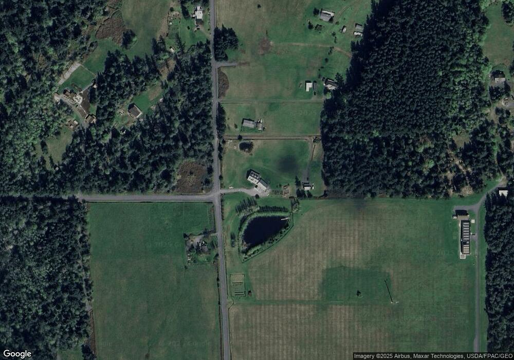
Map
Nearby Homes
- 137 Forest Ln
- 1372 Bakerview Rd
- 239 Shoreland Dr
- 783 Ferry Rd
- 755 Ferry Rd
- 95 Weeks Rd
- 104 Estenson Rd
- 331 Nelson Ln
- 230 Gem Farm Ln
- 1486 Center Rd
- 162 Sea Ranch Rd
- 315 Mariner Dr
- 0 EC-19 E Cove Rd
- 68 Sylvan Cove Rd W
- 295 Rum Runner Rd
- 4 Rum Runner Rd
- 583 Rum Runner Rd
- 268 Rum Runner Rd
- 707 NW Thatcher Pass Rd
- 1898 Bayshore Rd
- 2287 Port Stanley Rd
- 50 Less Traveled Rd
- 103 Less Traveled Rd
- 2332 Port Stanley Rd
- 1881 Port Stanley Rd
- 2130 Port Stanley Rd
- 502 Westpark Ln
- 0 XXX Port Stanley Rd
- 90 Finisterre Rd
- 482 Westpark Ln
- 2032 Port Stanley Rd
- 133 Portobello Rd
- 2030 Port Stanley Rd
- 426 Westpark Ln
- 1156 Cross Rd
- 45 Portobello Rd
- 1031 Cross Rd
- 1795 Port Stanley Rd
- 408 Westpark Ln
- 134 Portobello Rd