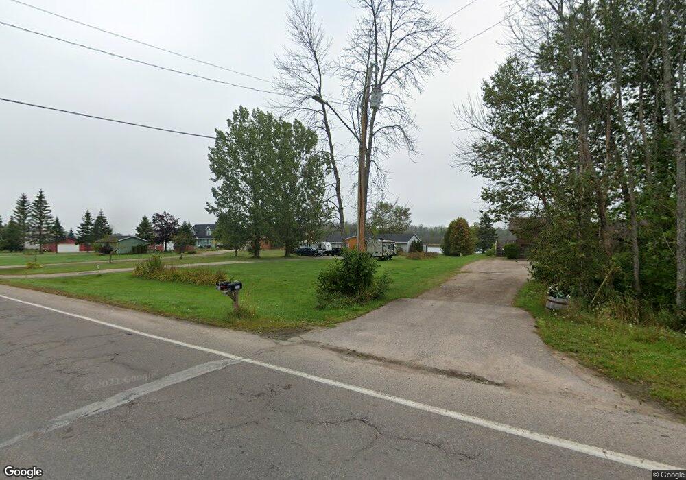
2235 Riverside Dr Sault Sainte Marie, MI 49783
Estimated Value: $451,000 - $512,000
4
Beds
2
Baths
3,142
Sq Ft
$151/Sq Ft
Est. Value
About This Home
This home is located at 2235 Riverside Dr, Sault Sainte Marie, MI 49783 and is currently estimated at $474,668, approximately $151 per square foot. 2235 Riverside Dr is a home located in Chippewa County with nearby schools including Sault Area Middle School, Sault Area High School, and Joseph K. Lumsden Bahweting Anishnabe Academy.
Ownership History
Date
Name
Owned For
Owner Type
Purchase Details
Closed on
Jul 19, 2021
Sold by
Silver Rush Investments Llc
Bought by
Morrow Joseph and Purseglove Joy
Current Estimated Value
Purchase Details
Closed on
Jan 19, 2009
Sold by
Us Bank Na
Bought by
Reynolds Allan T
Purchase Details
Closed on
Jan 23, 2008
Sold by
Wells Fargo Bank Na
Bought by
Us Bank Na and Citigroup Mortgage Loan Trust 2006-Wfhe4
Purchase Details
Closed on
Jan 11, 2008
Sold by
Chippewa County and Lalone Leif V
Bought by
Wells Fargo Bank Na
Create a Home Valuation Report for This Property
The Home Valuation Report is an in-depth analysis detailing your home's value as well as a comparison with similar homes in the area
Home Values in the Area
Average Home Value in this Area
Purchase History
| Date | Buyer | Sale Price | Title Company |
|---|---|---|---|
| Morrow Joseph | $250,000 | -- | |
| Reynolds Allan T | $110,000 | -- | |
| Us Bank Na | -- | -- | |
| Wells Fargo Bank Na | $150,500 | -- |
Source: Public Records
Tax History Compared to Growth
Tax History
| Year | Tax Paid | Tax Assessment Tax Assessment Total Assessment is a certain percentage of the fair market value that is determined by local assessors to be the total taxable value of land and additions on the property. | Land | Improvement |
|---|---|---|---|---|
| 2025 | $7,754 | $193,400 | $0 | $0 |
| 2024 | $5,223 | $125,900 | $0 | $0 |
| 2023 | $6,865 | $130,400 | $0 | $0 |
| 2022 | $6,865 | $127,700 | $0 | $0 |
| 2021 | $5,134 | $117,600 | $0 | $0 |
| 2020 | $5,443 | $113,300 | $0 | $0 |
| 2019 | $5,337 | $86,000 | $0 | $0 |
| 2018 | $5,562 | $94,500 | $0 | $0 |
| 2017 | $3,973 | $96,600 | $0 | $0 |
| 2016 | $4,341 | $95,300 | $0 | $0 |
| 2011 | $2,572 | $57,900 | $0 | $0 |
Source: Public Records
Map
Nearby Homes
- 2039 Riverside Dr
- 3032 S Frances Ave
- 2039 S Riverside Dr
- 2017 S Whitehead Rd
- Parcel A Shunk Rd
- 1164 E Spruce St
- 1109 Mann Dr
- 1096 Maple St
- . E 10th Ave
- 0 W Cedar Dr Unit 24-1105
- 1601 Seymour St
- 721 E Spruce St
- 724 Cedar St
- 2699 Minneapolis St
- 4235 S Riverside Dr
- 317 25th Ave E
- 1025 Swinton St
- 1801 Augusta St
- 804 Newton Ave
- 2235 Riverside Dr
- 2235 S Riverside Dr Unit 2235
- 2215 Riverside Dr
- 2215 Riverside Dr
- 2247 S Riverside Dr Unit 2247
- 2195 Riverside Dr
- 2173 Riverside Dr
- 2206 Riverside Dr
- 2133 S Riverside Dr Unit 2133
- 2133 Riverside Dr
- 2133 Riverside Dr
- 2247 Riverside Dr
- 2247 Riverside Dr
- 2430 Gardenville Rd
- 2059 Riverside Dr
- 2059 Riverside Dr
- 2011 Riverside Dr
- 2009 Riverside Dr
- 2002 Riverside Dr
- 1990 Riverside Dr