2235 Smokey Rd Lagrange, GA 30241
Estimated Value: $404,000 - $532,000
5
Beds
4
Baths
2,020
Sq Ft
$234/Sq Ft
Est. Value
About This Home
This home is located at 2235 Smokey Rd, Lagrange, GA 30241 and is currently estimated at $471,806, approximately $233 per square foot. 2235 Smokey Rd is a home located in Troup County with nearby schools including Rosemont Elementary School, Whitesville Road Elementary School, and Berta Weathersbee Elementary School.
Ownership History
Date
Name
Owned For
Owner Type
Purchase Details
Closed on
Jan 27, 2011
Sold by
Wells Fargo Bank Na
Bought by
Mitchell Jared K
Current Estimated Value
Home Financials for this Owner
Home Financials are based on the most recent Mortgage that was taken out on this home.
Original Mortgage
$175,437
Outstanding Balance
$115,633
Interest Rate
4.25%
Mortgage Type
FHA
Estimated Equity
$356,173
Purchase Details
Closed on
Mar 30, 2000
Sold by
Kimberly Brandon and Kimberly Scott
Bought by
Scott Joshua S and Scott Angela W
Purchase Details
Closed on
Apr 2, 1999
Sold by
Harry Todd
Bought by
Kimberly Brandon and Kimberly Scott
Purchase Details
Closed on
Jul 31, 1995
Sold by
Jack Brown Land Co
Bought by
Harry Todd
Purchase Details
Closed on
Jun 8, 1993
Bought by
Jack Brown Land Co
Create a Home Valuation Report for This Property
The Home Valuation Report is an in-depth analysis detailing your home's value as well as a comparison with similar homes in the area
Purchase History
| Date | Buyer | Sale Price | Title Company |
|---|---|---|---|
| Mitchell Jared K | $180,000 | -- | |
| Scott Joshua S | -- | -- | |
| Kimberly Brandon | $39,500 | -- | |
| Harry Todd | $32,000 | -- | |
| Jack Brown Land Co | -- | -- |
Source: Public Records
Mortgage History
| Date | Status | Borrower | Loan Amount |
|---|---|---|---|
| Open | Mitchell Jared K | $175,437 |
Source: Public Records
Tax History
| Year | Tax Paid | Tax Assessment Tax Assessment Total Assessment is a certain percentage of the fair market value that is determined by local assessors to be the total taxable value of land and additions on the property. | Land | Improvement |
|---|---|---|---|---|
| 2025 | $4,520 | $178,220 | $23,720 | $154,500 |
| 2024 | $4,520 | $167,712 | $23,720 | $143,992 |
| 2023 | $4,206 | $156,196 | $23,720 | $132,476 |
| 2022 | $3,965 | $142,076 | $18,160 | $123,916 |
| 2021 | $4,336 | $143,756 | $20,120 | $123,636 |
| 2020 | $4,336 | $143,756 | $20,120 | $123,636 |
| 2019 | $4,292 | $142,320 | $20,120 | $122,200 |
| 2018 | $3,956 | $131,172 | $20,120 | $111,052 |
| 2016 | $3,203 | $106,187 | $21,814 | $84,372 |
| 2015 | $3,208 | $106,187 | $21,814 | $84,372 |
| 2014 | $3,079 | $101,746 | $21,814 | $79,932 |
| 2013 | -- | $97,184 | $21,814 | $75,370 |
Source: Public Records
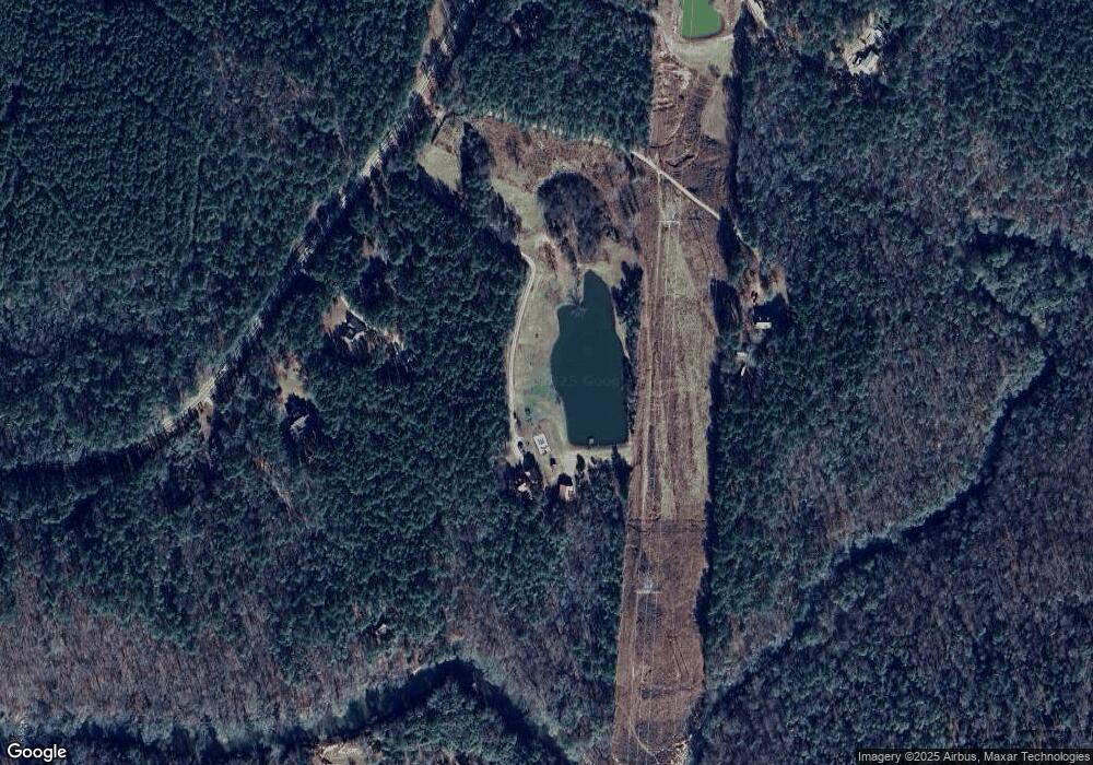
Map
Nearby Homes
- 0 Smokey Rd Unit 10570471
- 5656 Hamilton Rd
- 5656 Hamilton Rd
- 0 Jim Perry Rd Unit 25773088
- 430 Briley Rd
- 1751 Smokey Rd
- 37.23 ACRES / 0 Smokey Rd
- 0 Briley Rd Unit 10582531
- 0 Briley Rd Unit 214353
- 417 Tucker Rd
- 113 Glenn Eagle Point
- 1144 Oak Grove Rd
- 0 Leisure Cir Unit 10589963
- 0 Leisure Cir Unit 217995
- 137 Robertson Rd
- 3691 Hamilton Rd
- 7688 Hamilton Rd
- 830 John Lovelace Rd
- 14 Cherokee Resort Rd
- 12 Cherokee Resort Rd
- 2219 Smokey Rd
- 2227 Smokey Rd
- 2289 Smokey Rd
- 2202 Smokey Rd
- 2166 Smokey Rd
- 2139 Smokey Rd
- 2185 Smokey Rd
- 170 Woodmont Dr Unit 12
- 170 Woodmont Dr
- 155 Woodmont Dr
- 5783 Hamilton Rd
- 160 Woodmont Dr
- 141 Woodmont Dr
- 2046 Smokey Rd
- 150 Woodmont Dr
- 5675 Hamilton Rd
- 2069 Smokey Rd
- 115 Woodmont Dr Unit 15
- 115 Woodmont Dr
- 134 Woodmont Dr Unit 9
Your Personal Tour Guide
Ask me questions while you tour the home.