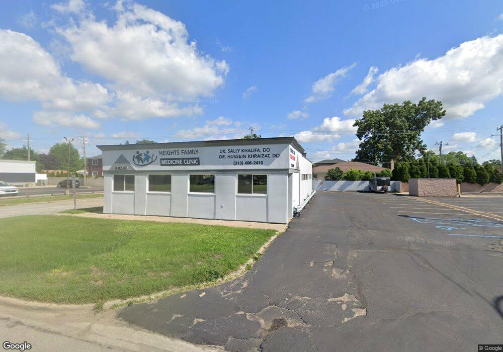
22350 Ford Rd Unit Bldg-Unit Dearborn Heights, MI 48127
Estimated Value: $957,673
--
Bed
--
Bath
2,504
Sq Ft
$382/Sq Ft
Est. Value
About This Home
This home is located at 22350 Ford Rd Unit Bldg-Unit, Dearborn Heights, MI 48127 and is currently estimated at $957,673, approximately $382 per square foot. 22350 Ford Rd Unit Bldg-Unit is a home located in Wayne County with nearby schools including Haigh Elementary School, Bryant Middle School, and Dearborn High School.
Ownership History
Date
Name
Owned For
Owner Type
Purchase Details
Closed on
Jul 11, 2017
Sold by
Nrt Enterprises E Llc
Bought by
M & S Holdings Llc
Current Estimated Value
Home Financials for this Owner
Home Financials are based on the most recent Mortgage that was taken out on this home.
Original Mortgage
$290,400
Interest Rate
4.5%
Mortgage Type
Future Advance Clause Open End Mortgage
Purchase Details
Closed on
Jun 25, 2002
Sold by
Hamameh Nadia
Bought by
Nrt Enterprise Llc
Purchase Details
Closed on
Dec 26, 2001
Sold by
Hamameh Nadia
Bought by
Desai Rupal
Purchase Details
Closed on
Mar 7, 2001
Sold by
Hamameh Nadia
Bought by
Nadia Hamameh Living Trust
Create a Home Valuation Report for This Property
The Home Valuation Report is an in-depth analysis detailing your home's value as well as a comparison with similar homes in the area
Home Values in the Area
Average Home Value in this Area
Purchase History
| Date | Buyer | Sale Price | Title Company |
|---|---|---|---|
| M & S Holdings Llc | $600,000 | None Available | |
| Nrt Enterprise Llc | -- | -- | |
| Desai Rupal | $265,000 | -- | |
| Nadia Hamameh Living Trust | -- | -- |
Source: Public Records
Mortgage History
| Date | Status | Borrower | Loan Amount |
|---|---|---|---|
| Previous Owner | M & S Holdings Llc | $290,400 |
Source: Public Records
Tax History Compared to Growth
Tax History
| Year | Tax Paid | Tax Assessment Tax Assessment Total Assessment is a certain percentage of the fair market value that is determined by local assessors to be the total taxable value of land and additions on the property. | Land | Improvement |
|---|---|---|---|---|
| 2025 | $8,103 | $185,800 | $0 | $0 |
| 2024 | $8,103 | $176,000 | $0 | $0 |
| 2023 | $7,278 | $167,400 | $0 | $0 |
| 2022 | $10,594 | $163,700 | $0 | $0 |
| 2021 | $10,514 | $155,500 | $0 | $0 |
| 2019 | $10,381 | $144,300 | $0 | $0 |
| 2018 | $6,755 | $140,600 | $0 | $0 |
| 2017 | $6,639 | $136,100 | $0 | $0 |
| 2016 | $9,910 | $140,200 | $0 | $0 |
| 2015 | $13,710 | $137,100 | $0 | $0 |
| 2013 | $14,180 | $145,000 | $0 | $0 |
| 2010 | -- | $171,700 | $0 | $0 |
Source: Public Records
Map
Nearby Homes
- 2236 Hubbell St
- 5632 Beaver St
- 2001 Hubbell St
- 22544 Heinze St
- 5741 Hubbell St
- 21984 Wildwood St
- 5962 Mcmillan St
- 1821 Golfview Dr
- 1740 N Elizabeth St
- 23221 Lawrence Ave
- 23226 Edward St
- 23259 Lawrence Ave
- 17517 W Outer Dr
- 6200 Burger St
- 23304 Oak St
- 5661 N Melborn St
- 6302 Burger St
- 22937 Arlington St
- 2003 N Rosevere Ave
- 5959 Rosetta St
- 22350 Ford Rd
- 5634 Mcmillan St
- 5646 Mcmillan St
- 5631 Dacosta St
- 5637 Mcmillan St
- 5645 Mcmillan St Unit Bldg-Unit
- 5645 Mcmillan St
- 5643 Dacosta St
- 5653 Mcmillan St
- 5682 Mcmillan St
- 2230 Mcmillan St
- 5675 Dacosta St
- 5661 Mcmillan St
- 5630 Burger St
- 2215 Dacosta St
- 2237 Mcmillan St
- 5669 Mcmillan St
- 5638 Burger St
- 5632 Dacosta St
- 2212 W Circle St