Estimated Value: $577,000 - $601,690
3
Beds
2
Baths
1,446
Sq Ft
$407/Sq Ft
Est. Value
About This Home
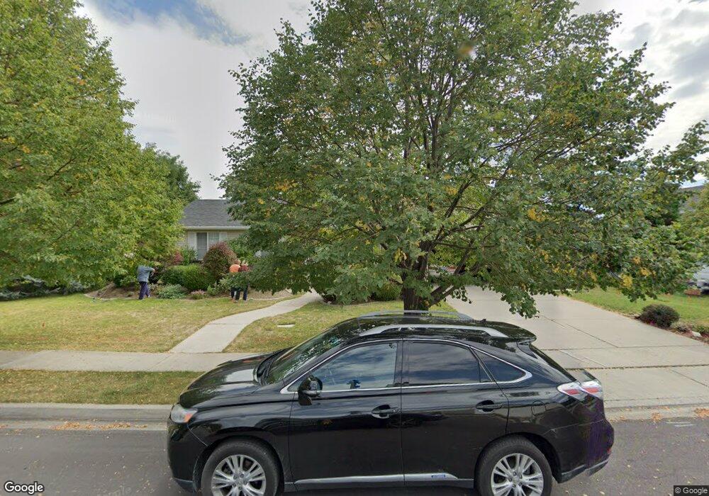
This home is located at 2236 N 825 E, Lehi, UT 84043 and is currently estimated at $588,563, approximately $407 per square foot. 2236 N 825 E is a home located in Utah County with nearby schools including Freedom Elementary School, Lehi Junior High School, and Skyridge High School.
Ownership History
Date
Name
Owned For
Owner Type
Purchase Details
Closed on
Mar 12, 2013
Sold by
Baker Ronald and Baker Margaret
Bought by
Baker Margaret
Current Estimated Value
Purchase Details
Closed on
Jun 3, 2005
Sold by
Kono David M and Kono Sharon R
Bought by
Baker Ronald and Baker Margaret
Purchase Details
Closed on
Jun 20, 2000
Sold by
Reneer Christopher D and Reneer Annamarie C
Bought by
Kong David M and Kono Sharon R
Home Financials for this Owner
Home Financials are based on the most recent Mortgage that was taken out on this home.
Original Mortgage
$120,000
Interest Rate
8.53%
Create a Home Valuation Report for This Property
The Home Valuation Report is an in-depth analysis detailing your home's value as well as a comparison with similar homes in the area
Home Values in the Area
Average Home Value in this Area
Purchase History
| Date | Buyer | Sale Price | Title Company |
|---|---|---|---|
| Baker Margaret | -- | None Available | |
| Baker Ronald | -- | -- | |
| Kong David M | -- | Mountain West Title Co |
Source: Public Records
Mortgage History
| Date | Status | Borrower | Loan Amount |
|---|---|---|---|
| Previous Owner | Kong David M | $120,000 |
Source: Public Records
Tax History
| Year | Tax Paid | Tax Assessment Tax Assessment Total Assessment is a certain percentage of the fair market value that is determined by local assessors to be the total taxable value of land and additions on the property. | Land | Improvement |
|---|---|---|---|---|
| 2025 | $2,183 | $284,460 | -- | -- |
| 2024 | $2,183 | $255,420 | $0 | $0 |
| 2023 | $2,028 | $257,730 | $0 | $0 |
| 2022 | $2,245 | $276,540 | $0 | $0 |
| 2021 | $1,995 | $371,600 | $125,500 | $246,100 |
| 2020 | $1,881 | $346,200 | $116,200 | $230,000 |
| 2019 | $1,652 | $316,200 | $116,200 | $200,000 |
| 2018 | $1,600 | $289,500 | $111,200 | $178,300 |
| 2017 | $1,529 | $147,015 | $0 | $0 |
| 2016 | $1,476 | $131,725 | $0 | $0 |
| 2015 | $1,533 | $129,855 | $0 | $0 |
| 2014 | $1,458 | $122,760 | $0 | $0 |
Source: Public Records
Map
Nearby Homes
- 4233 N 325 E Unit 1415
- 10365 N 6960 W
- 975 E 2850 N
- 878 E 3050 N
- 1370 N Cedar Hollow Blvd
- 6756 W 10050 N
- 1272 N Cedar Hollow Blvd
- 2139 N Banbury Ct
- 9967 N 6670 W
- 3239 N 620 E
- 532 E 3270 N
- 3368 N 700 E
- 6576 W 9810 N
- 1602 E Center Pointe Dr
- 356 W 1850 N Unit 6
- 1610 E Center Pointe Dr
- 1618 E Center Pointe Dr
- 1329 N 100 E Unit 21
- 9932 N 6520 W Unit 40
- 497 W 2200 N
Your Personal Tour Guide
Ask me questions while you tour the home.