2236 Ohio St North Bend, OR 97459
Estimated Value: $440,000 - $494,876
3
Beds
2
Baths
1,832
Sq Ft
$255/Sq Ft
Est. Value
About This Home
This home is located at 2236 Ohio St, North Bend, OR 97459 and is currently estimated at $467,438, approximately $255 per square foot. 2236 Ohio St is a home located in Coos County with nearby schools including Hillcrest Elementary School, North Bend Middle School, and North Bend Senior High School.
Ownership History
Date
Name
Owned For
Owner Type
Purchase Details
Closed on
Jun 28, 2011
Sold by
Hoffine Kathy J and Wall Kathy Jo
Bought by
Forester Denise and Denise Forester Trust
Current Estimated Value
Purchase Details
Closed on
Jan 17, 2006
Sold by
Woo Henry K Y
Bought by
Wall Kathy Jo
Home Financials for this Owner
Home Financials are based on the most recent Mortgage that was taken out on this home.
Original Mortgage
$205,000
Interest Rate
6.32%
Mortgage Type
Fannie Mae Freddie Mac
Create a Home Valuation Report for This Property
The Home Valuation Report is an in-depth analysis detailing your home's value as well as a comparison with similar homes in the area
Purchase History
| Date | Buyer | Sale Price | Title Company |
|---|---|---|---|
| Forester Denise | $228,000 | Fidelity National Title Co | |
| Wall Kathy Jo | $315,000 | Ticor Title Insurance |
Source: Public Records
Mortgage History
| Date | Status | Borrower | Loan Amount |
|---|---|---|---|
| Previous Owner | Wall Kathy Jo | $205,000 |
Source: Public Records
Tax History
| Year | Tax Paid | Tax Assessment Tax Assessment Total Assessment is a certain percentage of the fair market value that is determined by local assessors to be the total taxable value of land and additions on the property. | Land | Improvement |
|---|---|---|---|---|
| 2025 | $3,827 | $258,580 | -- | -- |
| 2024 | $3,863 | $251,050 | -- | -- |
| 2023 | $3,749 | $243,740 | $0 | $0 |
| 2022 | $3,709 | $236,650 | $0 | $0 |
| 2021 | $3,800 | $229,760 | $0 | $0 |
| 2020 | $3,559 | $229,760 | $0 | $0 |
| 2019 | $3,404 | $216,580 | $0 | $0 |
| 2018 | $3,309 | $210,280 | $0 | $0 |
| 2017 | $3,216 | $204,160 | $0 | $0 |
| 2016 | $3,119 | $198,220 | $0 | $0 |
| 2015 | $2,832 | $192,450 | $0 | $0 |
| 2014 | $2,832 | $186,850 | $0 | $0 |
Source: Public Records
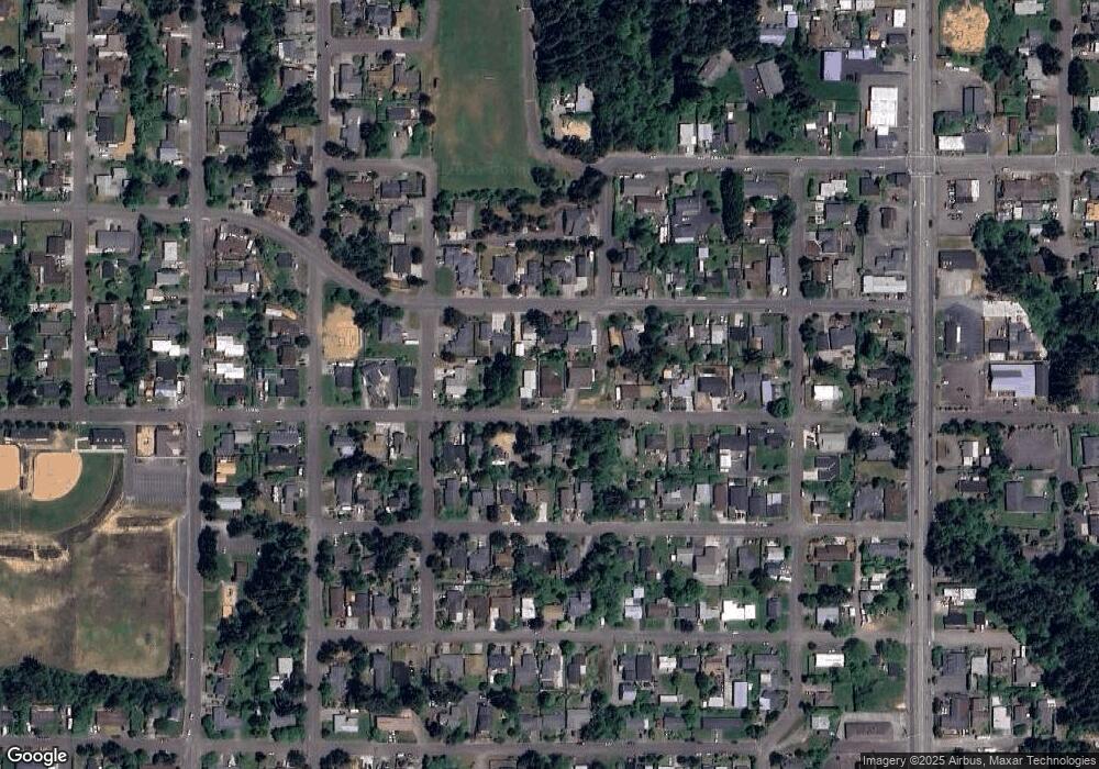
Map
Nearby Homes
- 2160 Lombard St
- 2011 Ohio Ave
- 1935 17th St
- 3123 Oak St
- 0 Fir St Unit 6800
- 2719 Alder Ridge Dr
- 2691 14th St
- 2518 Pacific St
- 2324 13th St
- 2238 Marion St
- 2142 Everett Ave
- 2058 Cedar Ct
- 2125 Pine St
- 2024 Cedar Ct
- 2253 Pony Creek Rd
- 1358 Scott Ln
- 2402 Stephanie Ln
- 2579 Pony Creek Rd
- 2460 Stephanie Ln
- 2270 Hayes St
Your Personal Tour Guide
Ask me questions while you tour the home.