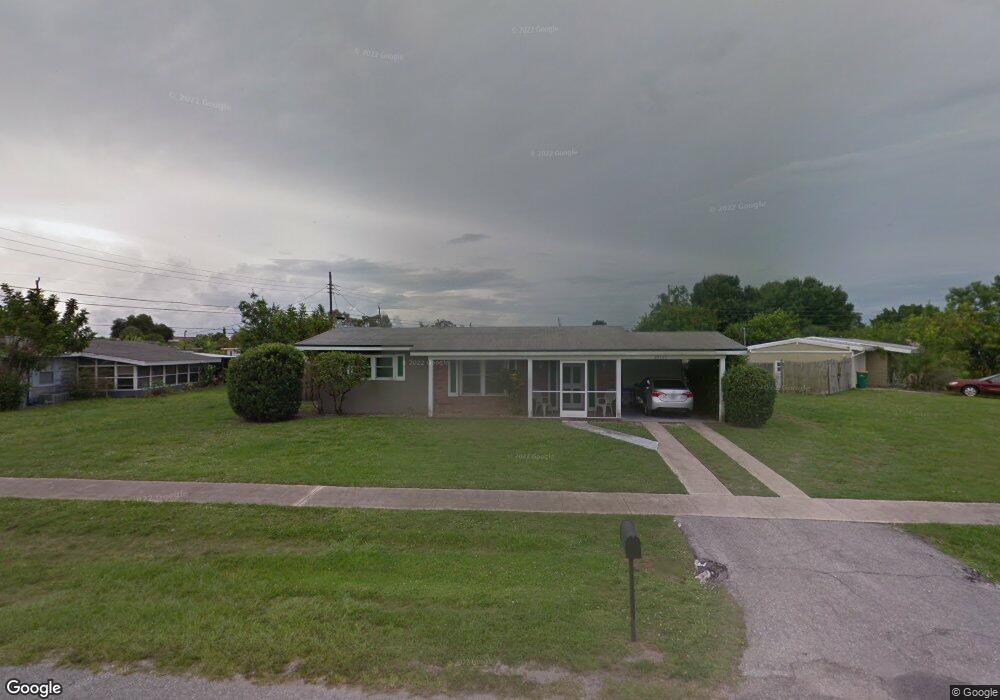
22365 Laramore Ave Port Charlotte, FL 33952
Estimated Value: $164,050 - $196,000
2
Beds
1
Bath
880
Sq Ft
$207/Sq Ft
Est. Value
About This Home
This home is located at 22365 Laramore Ave, Port Charlotte, FL 33952 and is currently estimated at $182,513, approximately $207 per square foot. 22365 Laramore Ave is a home located in Charlotte County with nearby schools including Neil Armstrong Elementary School, Port Charlotte Middle School, and Port Charlotte High School.
Ownership History
Date
Name
Owned For
Owner Type
Purchase Details
Closed on
Jan 9, 2016
Sold by
Price Eileen C and Tracey John F
Bought by
Price Eileen C and Brochu Kathleen F
Current Estimated Value
Purchase Details
Closed on
Jan 1, 2016
Bought by
Price Eileen C and Price Kathleen F
Purchase Details
Closed on
Apr 29, 2011
Sold by
Newton Martha V and Newton David L
Bought by
Price Eileen C and Tracey John F
Purchase Details
Closed on
Aug 18, 2003
Sold by
Mulhall Jessie M and Mulhall Joseph T
Bought by
Mulhall Jessie M and Mulhall Joseph T
Create a Home Valuation Report for This Property
The Home Valuation Report is an in-depth analysis detailing your home's value as well as a comparison with similar homes in the area
Home Values in the Area
Average Home Value in this Area
Purchase History
| Date | Buyer | Sale Price | Title Company |
|---|---|---|---|
| Price Eileen C | -- | None Available | |
| Price Eileen C | $100 | -- | |
| Price Eileen C | $33,500 | None Available | |
| Mulhall Jessie M | -- | -- |
Source: Public Records
Tax History Compared to Growth
Tax History
| Year | Tax Paid | Tax Assessment Tax Assessment Total Assessment is a certain percentage of the fair market value that is determined by local assessors to be the total taxable value of land and additions on the property. | Land | Improvement |
|---|---|---|---|---|
| 2023 | $1,091 | $48,081 | $0 | $0 |
| 2022 | $1,057 | $48,411 | $0 | $0 |
| 2021 | $1,039 | $47,001 | $0 | $0 |
| 2020 | $999 | $46,352 | $0 | $0 |
| 2019 | $863 | $41,742 | $0 | $0 |
| 2018 | $787 | $40,964 | $0 | $0 |
| 2017 | $770 | $40,121 | $0 | $0 |
| 2016 | $756 | $39,296 | $0 | $0 |
| 2015 | $1,115 | $34,166 | $0 | $0 |
| 2014 | $1,049 | $31,060 | $0 | $0 |
Source: Public Records
Map
Nearby Homes
- 22343 Lasalle Rd
- 1717 Alton Rd
- 22341 Midway Blvd
- 22295 Midway Blvd
- 22268 Montrose Ave
- 2208 Anne Ave
- 1492 Schenley St
- 22240 Midway Blvd
- 22236 Montrose Ave
- 22239 Midway Blvd
- 2271 Alton Rd
- 2231 Claude Ct
- 2254 Hayworth Rd
- 1534 Paxton Terrace
- 1491 Monte St
- 1436 Pulaski St
- 22193 Breezeswept Ave
- 22187 Lasalle Rd
- 22416 Laika Ave
- 1437 Rommel St
- 22391 Lasalle Rd
- 1651 Hayworth Rd
- 22391 Road
- 1661 Hayworth Rd
- 1669 Hayworth Rd
- 22364 Laramore Ave
- 22356 Laramore Ave
- 22383 Lasalle Rd
- 22392 Lasalle Rd
- 1633 Hayworth Rd
- 1677 Hayworth Rd
- 22374 Lasalle Rd
- 22347 Laramore Ave
- 22348 Laramore Ave
- 1652 Hayworth Rd
- 1660 Hayworth Rd
- 1644 Hayworth Rd
- 22375 Lasalle Rd
- 1668 Hayworth Rd
- 1636 Hayworth Rd