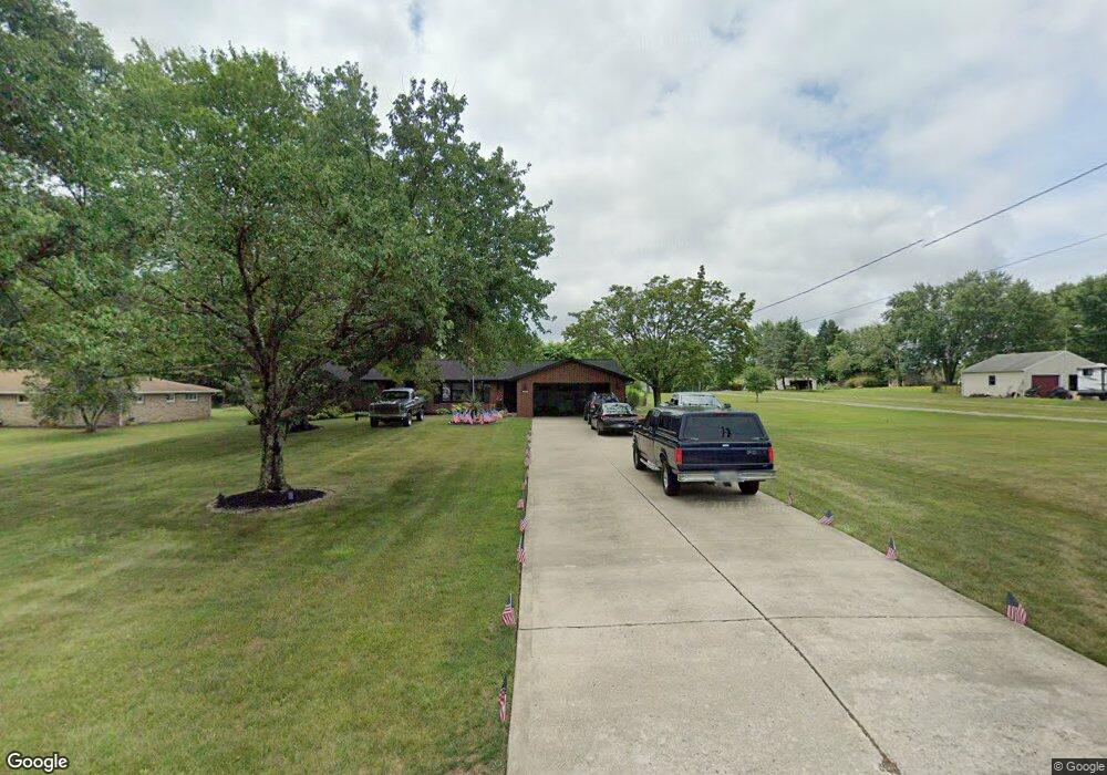
22369 Margaret Ln Alliance, OH 44601
Estimated Value: $249,000 - $354,519
3
Beds
2
Baths
2,010
Sq Ft
$148/Sq Ft
Est. Value
About This Home
This home is located at 22369 Margaret Ln, Alliance, OH 44601 and is currently estimated at $297,506, approximately $148 per square foot. 22369 Margaret Ln is a home located in Columbiana County with nearby schools including West Branch Middle School, West Branch Early Learning Center, and West Branch High School.
Ownership History
Date
Name
Owned For
Owner Type
Purchase Details
Closed on
Jul 10, 2001
Sold by
Springer Linda J
Bought by
Criss William M and Criss Amy R
Current Estimated Value
Home Financials for this Owner
Home Financials are based on the most recent Mortgage that was taken out on this home.
Original Mortgage
$120,000
Outstanding Balance
$46,447
Interest Rate
7.2%
Estimated Equity
$251,060
Purchase Details
Closed on
Jan 20, 1993
Sold by
Springer Donald P and Springer Or
Bought by
Tournoux Carol M and Tournoux Carol
Create a Home Valuation Report for This Property
The Home Valuation Report is an in-depth analysis detailing your home's value as well as a comparison with similar homes in the area
Home Values in the Area
Average Home Value in this Area
Purchase History
| Date | Buyer | Sale Price | Title Company |
|---|---|---|---|
| Criss William M | $150,000 | -- | |
| Tournoux Carol M | -- | -- |
Source: Public Records
Mortgage History
| Date | Status | Borrower | Loan Amount |
|---|---|---|---|
| Open | Criss William M | $120,000 |
Source: Public Records
Tax History Compared to Growth
Tax History
| Year | Tax Paid | Tax Assessment Tax Assessment Total Assessment is a certain percentage of the fair market value that is determined by local assessors to be the total taxable value of land and additions on the property. | Land | Improvement |
|---|---|---|---|---|
| 2024 | $2,654 | $90,620 | $20,550 | $70,070 |
| 2023 | $2,655 | $90,620 | $20,550 | $70,070 |
| 2022 | $2,846 | $90,620 | $20,550 | $70,070 |
| 2021 | $2,502 | $75,950 | $20,090 | $55,860 |
| 2020 | $2,503 | $75,950 | $20,090 | $55,860 |
| 2019 | $2,518 | $75,950 | $20,090 | $55,860 |
| 2018 | $2,367 | $69,060 | $18,270 | $50,790 |
| 2017 | $2,381 | $69,060 | $18,270 | $50,790 |
| 2016 | $2,351 | $69,340 | $20,090 | $49,250 |
| 2015 | $2,378 | $69,340 | $20,090 | $49,250 |
| 2014 | $2,343 | $69,340 | $20,090 | $49,250 |
Source: Public Records
Map
Nearby Homes
- 22360 Margaret Ln
- 1105 Abbey Ln
- 3636 S Mahoning Ave
- 1835 Homeworth Rd
- 1100 E Bayton St
- 22840 Buck Rd
- 853 Fairway Dr
- 555 E Milton St
- 540 E Bayton St
- 2376 S Seneca Ave
- 3709 S Union Ave
- 2408 S Linden Ave
- 236 E Milton St
- 0 Bayton St E Unit 5166569
- 2460 S Arch Ave
- 2218 S Freedom Ave
- 277 W Carol St
- 1846 S Freedom Ave
- 317 E State St
- 815 Grace St
- 22361 Margaret Ln
- 22371 Margaret Ln
- 22331 Margaret Ln
- 22391 Margaret Ln
- 22421 Margaret Ln
- 1148 Bon Dr
- 1155 Bon Dr
- 22261 Margaret Ln
- 22420 Margaret Ln
- 22380 Margaret Ln
- 1147 Homeworth Rd
- 22320 Margaret Ln
- 1123 Homeworth Rd
- 1239 Homeworth Rd
- 1084 Bon Dr
- 1147 Bon Dr
- 1147 Bon Dr
- 1127 Bon Dr
- 1099 Homeworth Rd
- 1267 Homeworth Rd