22378 Red Oak Rd Waynesville, MO 65583
Estimated Value: $229,000 - $400,390
--
Bed
1
Bath
1,587
Sq Ft
$190/Sq Ft
Est. Value
About This Home
This home is located at 22378 Red Oak Rd, Waynesville, MO 65583 and is currently estimated at $301,130, approximately $189 per square foot. 22378 Red Oak Rd is a home located in Pulaski County with nearby schools including Laquey R-V Elementary School, Laquey R-V Middle School, and Laquey R-V High School.
Ownership History
Date
Name
Owned For
Owner Type
Purchase Details
Closed on
Apr 27, 2007
Sold by
Watts Burgett H and Watts Nancy
Bought by
Shetler Dale
Current Estimated Value
Purchase Details
Closed on
Aug 25, 2005
Sold by
Boren Michael E
Bought by
Shetler Lonnie Dale and Shetler Cora M
Home Financials for this Owner
Home Financials are based on the most recent Mortgage that was taken out on this home.
Original Mortgage
$100,000
Interest Rate
5.65%
Mortgage Type
Unknown
Purchase Details
Closed on
Aug 3, 2005
Sold by
Boren Michael E
Bought by
Shetler Lonnie Dale and Shetler Cora M
Home Financials for this Owner
Home Financials are based on the most recent Mortgage that was taken out on this home.
Original Mortgage
$100,000
Interest Rate
5.65%
Mortgage Type
Unknown
Create a Home Valuation Report for This Property
The Home Valuation Report is an in-depth analysis detailing your home's value as well as a comparison with similar homes in the area
Home Values in the Area
Average Home Value in this Area
Purchase History
| Date | Buyer | Sale Price | Title Company |
|---|---|---|---|
| Shetler Dale | -- | None Available | |
| Shetler Lonnie Dale | -- | -- | |
| Shetler Lonnie Dale | -- | None Available |
Source: Public Records
Mortgage History
| Date | Status | Borrower | Loan Amount |
|---|---|---|---|
| Previous Owner | Shetler Lonnie Dale | $100,000 | |
| Previous Owner | Shetler Lonnie Dale | $100,000 |
Source: Public Records
Tax History Compared to Growth
Tax History
| Year | Tax Paid | Tax Assessment Tax Assessment Total Assessment is a certain percentage of the fair market value that is determined by local assessors to be the total taxable value of land and additions on the property. | Land | Improvement |
|---|---|---|---|---|
| 2024 | $920 | $22,090 | $3,018 | $19,072 |
| 2023 | $919 | $22,090 | $3,018 | $19,072 |
| 2022 | $852 | $22,090 | $3,018 | $19,072 |
| 2021 | $852 | $22,090 | $3,018 | $19,072 |
| 2020 | $821 | $19,180 | $0 | $0 |
| 2019 | $821 | $21,182 | $0 | $0 |
| 2018 | $826 | $21,248 | $0 | $0 |
| 2017 | $825 | $19,240 | $0 | $0 |
| 2016 | $825 | $21,240 | $0 | $0 |
| 2015 | $824 | $21,240 | $0 | $0 |
| 2014 | $822 | $21,240 | $0 | $0 |
Source: Public Records
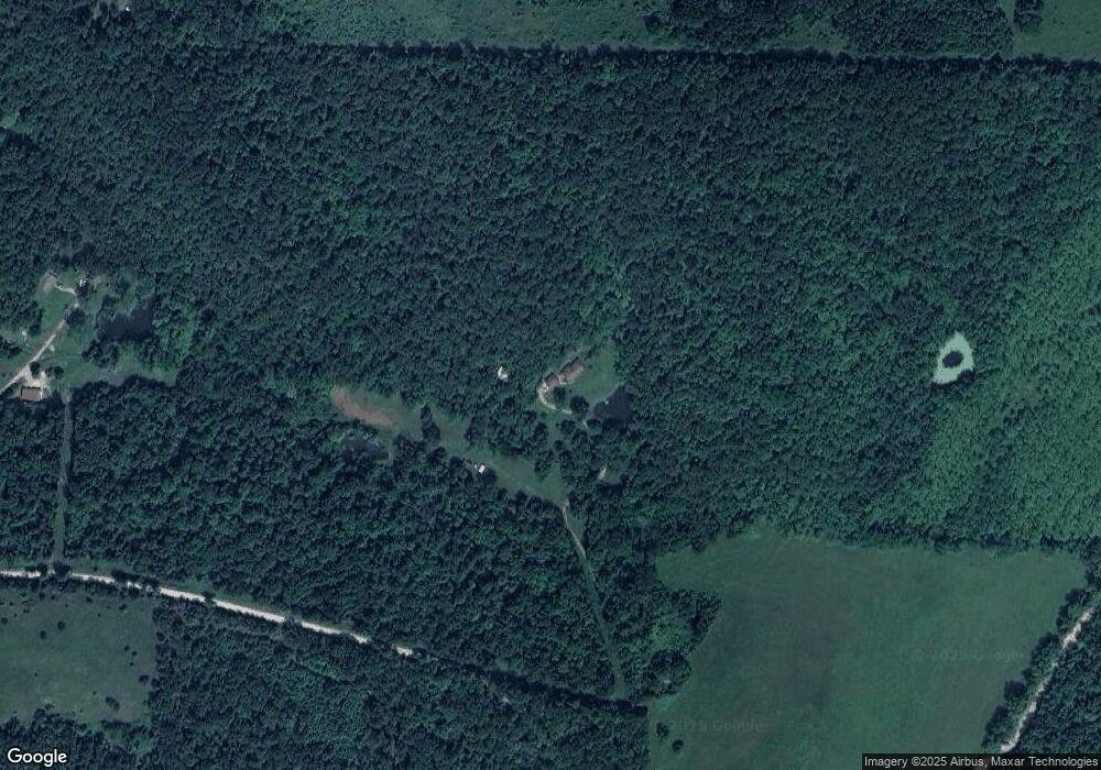
Map
Nearby Homes
- 0 Tbd Red Oak Rd
- 22217 Red Wing Rd
- 0 Unknown Unit MAR24073937
- 0 Rising Mist Dr Tracts 1-2 4-10 Unit 3572016
- 0 Rising Mist Dr Tracts 1-2 4-10 Unit MAR24068047
- 26469 Roam Dr
- 23231 Roulette Rd
- 23225 Roulette Rd
- 23376 Riptide Dr
- 23231 Righteous Ln Unit 1A, 2A, 2B, 3A, 3B
- 0 Rochester Rd Unit 23885013
- 0 Rochester Rd Unit MIS25040527
- 22848 Return Ln
- 23549 Restore
- 23623 Restore
- 24155 Red Oak Rd
- 23388 Rainbow Ln
- 22295 Rhyme Ln
- 123 Rascal Dr
- 22130 Rhyme Ln
- 25650 Red Oak Rd
- 22202 Red Oak Rd
- 22197 Red Oak Rd
- 25236 Raleigh Rd
- 22218 Redwing Rd
- 22601 Red Oak Rd
- 22290 Redwing Rd
- 0 Redwing Rd Unit 13040715
- 0 Redwing Rd Unit 15004867
- 0 Redwing Rd Unit 15048839
- 0 Redwing Rd Unit 23017644
- 25238 Raleigh Rd
- 24001 Red Fox Ln
- 25200 Raleigh Rd
- 21445 Red Bone Ln
- 21435 Red Bone Ln
- 21440 Red Bone Ln
- 21425 Red Bone Ln
- 25395 Raleigh Rd