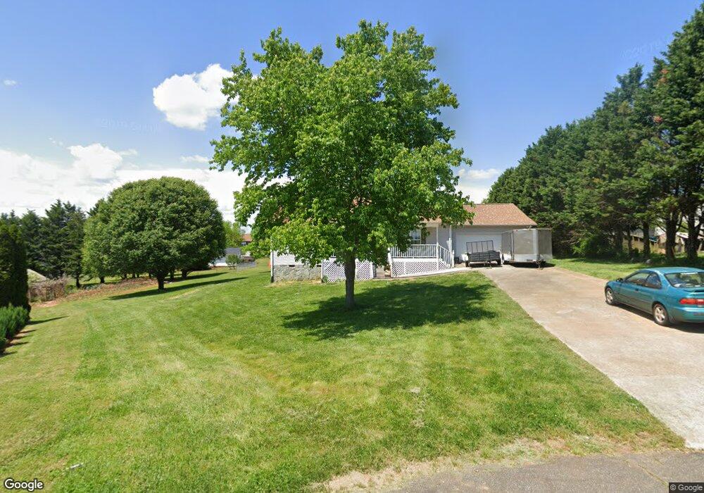
2238 Cassatt Ln Conover, NC 28613
Estimated Value: $283,000 - $289,000
3
Beds
2
Baths
1,350
Sq Ft
$212/Sq Ft
Est. Value
About This Home
This home is located at 2238 Cassatt Ln, Conover, NC 28613 and is currently estimated at $286,011, approximately $211 per square foot. 2238 Cassatt Ln is a home located in Catawba County with nearby schools including Oxford Elementary School, River Bend Middle School, and Bunker Hill High School.
Ownership History
Date
Name
Owned For
Owner Type
Purchase Details
Closed on
Aug 29, 2023
Sold by
Vang Nhia
Bought by
Lee Kai
Current Estimated Value
Purchase Details
Closed on
Jan 28, 2011
Sold by
Lee Chong and Xiong Chai
Bought by
Lee Kai and Vang Nhia
Home Financials for this Owner
Home Financials are based on the most recent Mortgage that was taken out on this home.
Original Mortgage
$88,200
Interest Rate
4.18%
Mortgage Type
New Conventional
Purchase Details
Closed on
Nov 1, 1997
Create a Home Valuation Report for This Property
The Home Valuation Report is an in-depth analysis detailing your home's value as well as a comparison with similar homes in the area
Home Values in the Area
Average Home Value in this Area
Purchase History
| Date | Buyer | Sale Price | Title Company |
|---|---|---|---|
| Lee Kai | -- | None Listed On Document | |
| Lee Kai | -- | None Listed On Document | |
| Lee Kai | $116,000 | Chicago Title Insurance Co | |
| -- | $90,000 | -- |
Source: Public Records
Mortgage History
| Date | Status | Borrower | Loan Amount |
|---|---|---|---|
| Previous Owner | Lee Kai | $88,200 |
Source: Public Records
Tax History Compared to Growth
Tax History
| Year | Tax Paid | Tax Assessment Tax Assessment Total Assessment is a certain percentage of the fair market value that is determined by local assessors to be the total taxable value of land and additions on the property. | Land | Improvement |
|---|---|---|---|---|
| 2025 | $1,090 | $237,200 | $16,700 | $220,500 |
| 2024 | $1,090 | $237,200 | $16,700 | $220,500 |
| 2023 | $1,090 | $146,600 | $15,200 | $131,400 |
| 2022 | $938 | $146,600 | $15,200 | $131,400 |
| 2021 | $938 | $146,600 | $15,200 | $131,400 |
| 2020 | $938 | $146,600 | $15,200 | $131,400 |
| 2019 | $938 | $146,600 | $0 | $0 |
| 2018 | $817 | $127,600 | $14,800 | $112,800 |
| 2017 | $817 | $0 | $0 | $0 |
| 2016 | $817 | $0 | $0 | $0 |
| 2015 | $715 | $127,570 | $14,800 | $112,770 |
| 2014 | $715 | $122,100 | $14,300 | $107,800 |
Source: Public Records
Map
Nearby Homes
- 4786 Thoreau Dr
- 00 Hwy 16 Hwy N
- 2200 Oweda Dr
- 4671 Crystal St
- 1862 Green Leaf Ct
- 2488 Compass St
- 28.8 Acres +/- Carver House Rd
- 25 Acres+/- Carver House Rd
- 4290 Holly Cir NE
- 4177 Ridge Dr NE Unit 1
- 4551 Holly Cir NE
- 4191 Holly Cir NE Unit 37
- 4129 Holly Cir NE
- 5207 Birchleaf Ln
- 4932 Sandstone Dr
- 2627 Vista Ln NE
- 1805 Edgewater Dr NW
- 4173 Holly Cir NE
- 4111 Ridge Rd NE
- 1371 Millrace Dr
- 4849 Thoreau Dr
- 2234 Cassatt Ln
- 4920 Wordsworth Cir
- 4908 Wordsworth Cir
- 4930 Wordsworth Cir
- 4896 Wordsworth Cir
- 2237 Cassatt Ln
- 4880 Wordsworth Cir
- 4869 Thoreau Dr
- 4868 Wordsworth Cir
- 4846 Thoreau Dr
- 4813 Thoreau Dr
- 4838 Thoreau Dr
- 4856 Wordsworth Cir
- 4854 Thoreau Dr
- 4826 Thoreau Dr
- 4844 Wordsworth Cir
- 4923 Wordsworth Cir
- 4911 Wordsworth Cir
- 4868 Thoreau Dr