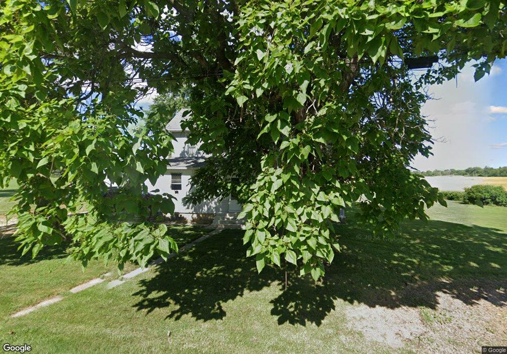
2238 N State Route 510 Vickery, OH 43464
Estimated Value: $78,996 - $156,000
4
Beds
1
Bath
1,843
Sq Ft
$55/Sq Ft
Est. Value
About This Home
This home is located at 2238 N State Route 510, Vickery, OH 43464 and is currently estimated at $101,749, approximately $55 per square foot. 2238 N State Route 510 is a home located in Sandusky County with nearby schools including Fremont Ross High School.
Ownership History
Date
Name
Owned For
Owner Type
Purchase Details
Closed on
Dec 23, 2020
Sold by
Diedrich Gregory S and Diedrich Kimberly B
Bought by
Bennett John E and Bennett Donna L
Current Estimated Value
Home Financials for this Owner
Home Financials are based on the most recent Mortgage that was taken out on this home.
Original Mortgage
$32,850
Outstanding Balance
$23,896
Interest Rate
2.8%
Mortgage Type
New Conventional
Estimated Equity
$77,853
Purchase Details
Closed on
Jun 23, 2004
Sold by
Rodriguez Adela M
Bought by
Diedrich Gregory S and Diedrich Kimberly B
Purchase Details
Closed on
Jan 1, 1991
Bought by
Diedrich Gregory S and Diedrich Kimberly B
Create a Home Valuation Report for This Property
The Home Valuation Report is an in-depth analysis detailing your home's value as well as a comparison with similar homes in the area
Home Values in the Area
Average Home Value in this Area
Purchase History
| Date | Buyer | Sale Price | Title Company |
|---|---|---|---|
| Bennett John E | $36,500 | None Available | |
| Diedrich Gregory S | $26,250 | Midland Title | |
| Diedrich Gregory S | -- | -- |
Source: Public Records
Mortgage History
| Date | Status | Borrower | Loan Amount |
|---|---|---|---|
| Open | Bennett John E | $32,850 |
Source: Public Records
Tax History Compared to Growth
Tax History
| Year | Tax Paid | Tax Assessment Tax Assessment Total Assessment is a certain percentage of the fair market value that is determined by local assessors to be the total taxable value of land and additions on the property. | Land | Improvement |
|---|---|---|---|---|
| 2024 | $982 | $26,120 | $7,040 | $19,080 |
| 2023 | $982 | $26,120 | $7,040 | $19,080 |
| 2022 | $1,035 | $25,840 | $7,040 | $18,800 |
| 2021 | $1,057 | $25,840 | $7,040 | $18,800 |
| 2020 | $1,022 | $24,050 | $7,040 | $17,010 |
| 2019 | $1,020 | $24,050 | $7,040 | $17,010 |
| 2018 | $976 | $24,050 | $7,040 | $17,010 |
| 2017 | $930 | $21,850 | $7,040 | $14,810 |
| 2016 | $821 | $21,850 | $7,040 | $14,810 |
| 2015 | $808 | $21,850 | $7,040 | $14,810 |
| 2014 | $1,040 | $26,740 | $7,350 | $19,390 |
| 2013 | $1,019 | $26,740 | $7,350 | $19,390 |
Source: Public Records
Map
Nearby Homes
- 1766 County Road 260 Elm St
- 0 County Rd 260 Rd Unit 5061556
- 2087 County Road 216
- 5943 County Road 279
- 0 County Road 210
- 550 County Road 242
- 474 N Co Road 204
- 1982 Fulton St
- 1301 Ohio 523 Unit 55
- 1301 Ohio 523 Unit 39
- 1301 Ohio 523 Unit 15
- 0 Cr 214 Unit 20253055
- 1270 W Mcpherson Hwy
- 2314 E Sr 20
- 1329 S West Bay Dr
- 761 N Woodland Ave
- V/L County Road 220
- 0 County Road 220
- 900 S Madison St
- 1239 E Garnet Ave
- 2252 N State Route 510
- 2287 N State Route 510
- 2135 N State Route 510
- 2301 N State Route 510
- 2313 N State Route 510
- 6 Sr
- 4137 State Route 6
- 2365 Cr 254
- 4161 Sr 6
- 4226 State Route 6
- 4173 Sr 6
- 4150 Sr 6
- 4150 State Route 6
- 2410 County Road 254
- 2410 Cr 254
- 3877 Sr 6
- 4258 U S 6
- 3877 Us Highway 6
- 3877 State Route 6
- 4260 Sr 6