22389 State Route T Newburg, MO 65550
Estimated Value: $205,000 - $249,378
2
Beds
1
Bath
1,952
Sq Ft
$116/Sq Ft
Est. Value
About This Home
This home is located at 22389 State Route T, Newburg, MO 65550 and is currently estimated at $226,126, approximately $115 per square foot. 22389 State Route T is a home located in Phelps County with nearby schools including Phelps Co. Elementary School.
Ownership History
Date
Name
Owned For
Owner Type
Purchase Details
Closed on
Sep 19, 2023
Sold by
Vankirk Judy M
Bought by
Hussey Gregory B and Pellhum-Hussey Gilbert
Current Estimated Value
Home Financials for this Owner
Home Financials are based on the most recent Mortgage that was taken out on this home.
Original Mortgage
$169,600
Outstanding Balance
$166,162
Interest Rate
7.2%
Mortgage Type
Construction
Estimated Equity
$59,964
Purchase Details
Closed on
May 10, 2005
Purchase Details
Closed on
Jan 17, 2003
Purchase Details
Closed on
Sep 3, 1996
Purchase Details
Closed on
Apr 4, 1984
Purchase Details
Closed on
Feb 20, 1973
Create a Home Valuation Report for This Property
The Home Valuation Report is an in-depth analysis detailing your home's value as well as a comparison with similar homes in the area
Home Values in the Area
Average Home Value in this Area
Purchase History
| Date | Buyer | Sale Price | Title Company |
|---|---|---|---|
| Hussey Gregory B | $212,000 | Freedom Land Title & Escrow Ll | |
| -- | -- | -- | |
| -- | -- | -- | |
| -- | -- | -- | |
| -- | -- | -- | |
| -- | -- | -- |
Source: Public Records
Mortgage History
| Date | Status | Borrower | Loan Amount |
|---|---|---|---|
| Open | Hussey Gregory B | $169,600 |
Source: Public Records
Tax History Compared to Growth
Tax History
| Year | Tax Paid | Tax Assessment Tax Assessment Total Assessment is a certain percentage of the fair market value that is determined by local assessors to be the total taxable value of land and additions on the property. | Land | Improvement |
|---|---|---|---|---|
| 2025 | $431 | $13,510 | $3,240 | $10,270 |
| 2024 | $431 | $12,310 | $2,580 | $9,730 |
| 2023 | $431 | $12,310 | $2,580 | $9,730 |
| 2022 | $433 | $12,310 | $2,580 | $9,730 |
| 2021 | $434 | $12,310 | $2,580 | $9,730 |
| 2020 | $439 | $12,310 | $2,580 | $9,730 |
| 2019 | $437 | $12,310 | $2,580 | $9,730 |
| 2018 | $440 | $12,310 | $2,580 | $9,730 |
| 2017 | $440 | $12,310 | $2,580 | $9,730 |
| 2016 | $436 | $12,310 | $2,580 | $9,730 |
| 2015 | -- | $12,310 | $2,580 | $9,730 |
| 2014 | -- | $12,280 | $2,550 | $9,730 |
| 2013 | -- | $12,280 | $0 | $0 |
Source: Public Records
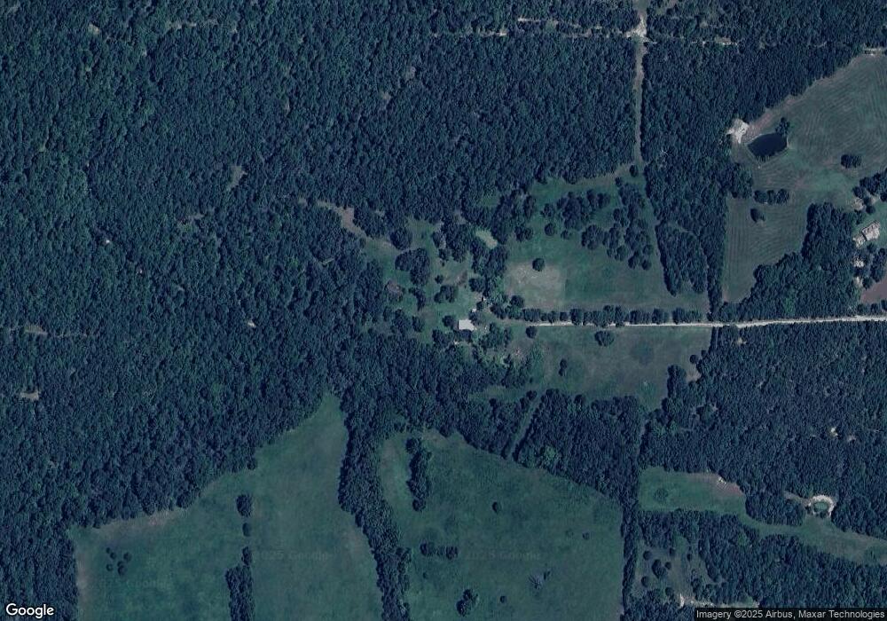
Map
Nearby Homes
- 23294 State Route T
- 19501 State Route M
- 0 County Road 6130
- 000 State Route M
- 20372 County Road 6380
- 22825 County Road 7640
- 23835 County Road 6033
- 000 County Road 6388
- 0 Tbd S Us Highway 63
- 14931 Private Drive 6021
- 000 State Route Ff
- 29405 Highway 63
- 21021 State Route M
- 708 Locust St
- 000 County Road 6190
- 0 Highway Ff
- 000 County Rd 6160 and 6210
- 000 County Road 6160 and 6210
- 23201 Private Drive 6474
- 22389 State Route T
- 0 80 Acres State Route T Unit 18082270
- 22866 County Road 7630
- 22391 State Route T
- 22233 State Route T
- 22233 State Route T
- 22233 State Route T
- 22233 State Route T
- 22095 State Route T
- 22530 County Road 7630
- 21945 State Route M
- 19300 County Road 7500
- 19300 Cr 7500
- 19000 County Road 7500
- 22893 Private Drive 7639 Unit 22803
- 22910 Private Drive 7639
- 23410 County Road 7630
- 22550 State Route T
- 21980 County Road 7630
- 18838 County Road 7500