2239 N Fm 51 Decatur, TX 76234
Estimated Value: $549,000 - $715,000
2
Beds
2
Baths
1,964
Sq Ft
$331/Sq Ft
Est. Value
About This Home
This home is located at 2239 N Fm 51, Decatur, TX 76234 and is currently estimated at $649,379, approximately $330 per square foot. 2239 N Fm 51 is a home located in Wise County with nearby schools including Decatur High School and Victory Christian Academy.
Ownership History
Date
Name
Owned For
Owner Type
Purchase Details
Closed on
Sep 11, 2023
Sold by
Free Tony W
Bought by
Free Tony W
Current Estimated Value
Home Financials for this Owner
Home Financials are based on the most recent Mortgage that was taken out on this home.
Original Mortgage
$922,500
Interest Rate
4%
Purchase Details
Closed on
Aug 10, 2023
Sold by
Free Tony Wayne
Bought by
Tony Wayne Free Family Living Trust and Free
Home Financials for this Owner
Home Financials are based on the most recent Mortgage that was taken out on this home.
Original Mortgage
$922,500
Interest Rate
4%
Purchase Details
Closed on
Jan 13, 2014
Sold by
Free Tony W
Bought by
Free Tony Wayne
Home Financials for this Owner
Home Financials are based on the most recent Mortgage that was taken out on this home.
Original Mortgage
$150,590
Interest Rate
5%
Mortgage Type
Adjustable Rate Mortgage/ARM
Purchase Details
Closed on
Nov 2, 2009
Sold by
Springfield Keith
Bought by
Woolsey Barney
Home Financials for this Owner
Home Financials are based on the most recent Mortgage that was taken out on this home.
Original Mortgage
$260,000
Interest Rate
5.05%
Mortgage Type
Purchase Money Mortgage
Purchase Details
Closed on
May 4, 2005
Sold by
Dickenson Loyd and Dickenson Pauline
Bought by
Free Tony
Purchase Details
Closed on
Dec 16, 1999
Sold by
Ward Johnny T
Bought by
Free Tony
Create a Home Valuation Report for This Property
The Home Valuation Report is an in-depth analysis detailing your home's value as well as a comparison with similar homes in the area
Home Values in the Area
Average Home Value in this Area
Purchase History
| Date | Buyer | Sale Price | Title Company |
|---|---|---|---|
| Free Tony W | -- | None Listed On Document | |
| Tony Wayne Free Family Living Trust | -- | None Listed On Document | |
| Free Tony Wayne | -- | Guardian Title Co | |
| Woolsey Barney | -- | -- | |
| Free Tony | -- | -- | |
| Free Tony | -- | -- |
Source: Public Records
Mortgage History
| Date | Status | Borrower | Loan Amount |
|---|---|---|---|
| Previous Owner | Free Tony W | $922,500 | |
| Previous Owner | Free Tony W | $922,500 | |
| Previous Owner | Free Tony Wayne | $150,590 | |
| Previous Owner | Woolsey Barney | $260,000 |
Source: Public Records
Tax History Compared to Growth
Tax History
| Year | Tax Paid | Tax Assessment Tax Assessment Total Assessment is a certain percentage of the fair market value that is determined by local assessors to be the total taxable value of land and additions on the property. | Land | Improvement |
|---|---|---|---|---|
| 2025 | $1,415 | $375,785 | $45,610 | $330,175 |
| 2024 | $1,415 | $379,160 | $45,556 | $333,604 |
| 2023 | $3,999 | $600,558 | $0 | $0 |
| 2022 | $4,619 | $528,228 | $0 | $0 |
| 2021 | $4,390 | $484,570 | $229,240 | $255,330 |
| 2020 | $4,208 | $445,090 | $200,490 | $244,600 |
| 2019 | $4,389 | $439,630 | $200,490 | $239,140 |
| 2018 | $4,423 | $396,430 | $160,370 | $236,060 |
| 2017 | $4,098 | $355,050 | $134,710 | $220,340 |
| 2016 | $3,697 | $333,510 | $115,470 | $218,040 |
| 2015 | -- | $300,760 | $105,850 | $194,910 |
| 2014 | -- | $193,480 | $7,500 | $185,980 |
Source: Public Records
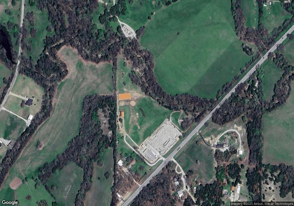
Map
Nearby Homes
- Lot 12 Cedar Springs Estates
- 362 Decatur Cemetery Rd
- 114 Cemetery Rd
- 3092 N Trinity St
- 853 County Road 2215
- TBD E Hwy 380 Hwy
- 2811 N Trinity St
- 130 Nicholas Way
- 1952 Old Decatur Rd
- 307 E Vernon St
- 124 Blackstar Ln
- 116 Blackstar Ln
- 132 Blackstar Ln
- 159 Blackstar Ln
- 165 Quail Ridge Ct
- 175 Quail Ridge Ct
- 114 Sondra Lin Blvd
- 903 N Miller St
- 602 N Cates St
- 802 N Church St