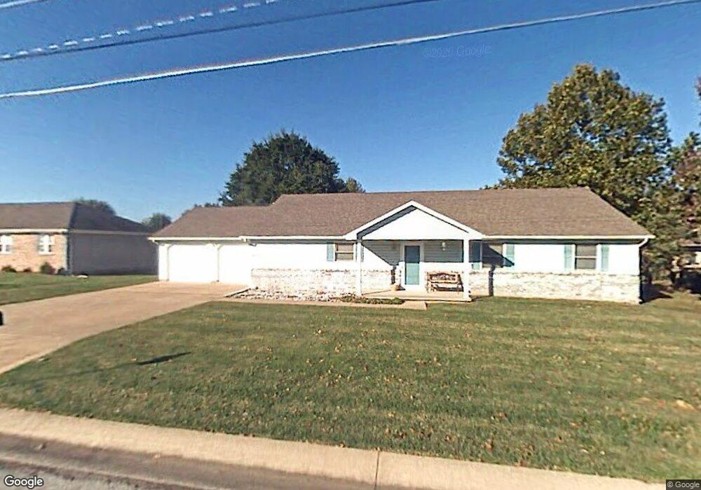
2239 Pearl St Carthage, MO 64836
Estimated Value: $233,000 - $283,000
3
Beds
2
Baths
1,800
Sq Ft
$140/Sq Ft
Est. Value
About This Home
This home is located at 2239 Pearl St, Carthage, MO 64836 and is currently estimated at $251,395, approximately $139 per square foot. 2239 Pearl St is a home located in Jasper County with nearby schools including Carthage High School, St. Ann's Catholic School, and Victory Academy.
Ownership History
Date
Name
Owned For
Owner Type
Purchase Details
Closed on
Jun 15, 2021
Sold by
Williams Brandon J and Williams Tara E
Bought by
Talbott Brian E and Talbott Erin L
Current Estimated Value
Home Financials for this Owner
Home Financials are based on the most recent Mortgage that was taken out on this home.
Original Mortgage
$144,847
Outstanding Balance
$129,993
Interest Rate
2.9%
Mortgage Type
New Conventional
Estimated Equity
$121,402
Purchase Details
Closed on
Aug 8, 2008
Sold by
Williams Brandon J and Williams Tara E
Bought by
Williams Brandon J and Williams Tara E
Purchase Details
Closed on
Apr 8, 2008
Sold by
Bruce Barbara and Brewer Scarlett
Bought by
Waggoner Tara E
Home Financials for this Owner
Home Financials are based on the most recent Mortgage that was taken out on this home.
Original Mortgage
$133,722
Interest Rate
6.19%
Mortgage Type
Purchase Money Mortgage
Create a Home Valuation Report for This Property
The Home Valuation Report is an in-depth analysis detailing your home's value as well as a comparison with similar homes in the area
Home Values in the Area
Average Home Value in this Area
Purchase History
| Date | Buyer | Sale Price | Title Company |
|---|---|---|---|
| Talbott Brian E | -- | First American Title | |
| Talbott Brian E | -- | First American Title | |
| Williams Brandon J | -- | Fatco | |
| Waggoner Tara E | -- | Fatco |
Source: Public Records
Mortgage History
| Date | Status | Borrower | Loan Amount |
|---|---|---|---|
| Open | Talbott Brian E | $144,847 | |
| Closed | Talbott Brian E | $144,847 | |
| Previous Owner | Waggoner Tara E | $133,722 |
Source: Public Records
Tax History
| Year | Tax Paid | Tax Assessment Tax Assessment Total Assessment is a certain percentage of the fair market value that is determined by local assessors to be the total taxable value of land and additions on the property. | Land | Improvement |
|---|---|---|---|---|
| 2025 | $1,155 | $28,210 | $3,920 | $24,290 |
| 2024 | $1,155 | $22,430 | $3,920 | $18,510 |
| 2023 | $1,155 | $22,430 | $3,920 | $18,510 |
| 2022 | $1,168 | $22,760 | $3,920 | $18,840 |
| 2021 | $1,155 | $22,760 | $3,920 | $18,840 |
| 2020 | $1,117 | $21,100 | $3,920 | $17,180 |
| 2019 | $1,119 | $21,100 | $3,920 | $17,180 |
| 2018 | $1,146 | $21,650 | $0 | $0 |
| 2017 | $1,148 | $21,650 | $0 | $0 |
| 2016 | $1,203 | $22,750 | $0 | $0 |
| 2015 | $1,112 | $22,750 | $0 | $0 |
| 2014 | $1,112 | $22,750 | $0 | $0 |
Source: Public Records
Map
Nearby Homes
- 905 Durward Hall Dr
- 1211 E Airport Dr
- 2110 Pearl St
- 909 Durward Hall Dr
- 1328 Hafner Ct
- 2032 Alison St
- 2515 S River St
- TBD Lexie Ln
- 1922 Southwood Ln
- 1910 Buena Vista Ave
- 1910 Wynwood Dr
- 2206 Benjamin Dr
- 1814 Buena Vista Ave
- TBD George E Phelps Blvd
- 1431 Quail Place
- XXXX Clinton
- 1726 Buena Vista Ave
- 1647 Glenwood Place
- 1012 Euclid Blvd
- 839 Euclid Blvd
- 2241 Pearl St
- 1018 Durward Hall Dr
- 1016 Durward Hall Dr
- 1016 Dewey Short Ct
- 1013 Dewey Short Ct
- 2232 Pearl St
- 2246 Pearl St
- 1014 Durward Hall Dr
- 1019 Durward Hall Dr
- 1012 Dewey Short Ct
- 2224 Pearl St
- 1017 Durward Hall Dr
- 2254 Pearl St
- 1021 Gene Taylor Dr
- 1012 Durward Hall Dr
- 1017 Gene Taylor Dr
- 1015 Durward Hall Dr
- 2243 Alison St
- 1008 Dewey Short Ct
- 1013 Gene Taylor Dr
Your Personal Tour Guide
Ask me questions while you tour the home.