2239 Range Rd Wadestown, WV 26590
Estimated Value: $152,000 - $257,000
3
Beds
2
Baths
2,224
Sq Ft
$93/Sq Ft
Est. Value
About This Home
This home is located at 2239 Range Rd, Wadestown, WV 26590 and is currently estimated at $207,176, approximately $93 per square foot. 2239 Range Rd is a home with nearby schools including Mason-Dixon Elementary School and Clay-Battelle Middle/High School.
Ownership History
Date
Name
Owned For
Owner Type
Purchase Details
Closed on
May 15, 2018
Sold by
Baez Edward I and Baez Shalanda
Bought by
Mattingly Gobel and Mattingly Nicole
Current Estimated Value
Purchase Details
Closed on
Jan 17, 2014
Sold by
Holmes Lena D
Bought by
Baez Edward I
Home Financials for this Owner
Home Financials are based on the most recent Mortgage that was taken out on this home.
Original Mortgage
$72,000
Interest Rate
4.47%
Mortgage Type
New Conventional
Create a Home Valuation Report for This Property
The Home Valuation Report is an in-depth analysis detailing your home's value as well as a comparison with similar homes in the area
Home Values in the Area
Average Home Value in this Area
Purchase History
| Date | Buyer | Sale Price | Title Company |
|---|---|---|---|
| Mattingly Gobel | $120,000 | None Available | |
| Baez Edward I | $90,000 | None Available |
Source: Public Records
Mortgage History
| Date | Status | Borrower | Loan Amount |
|---|---|---|---|
| Previous Owner | Baez Edward I | $72,000 |
Source: Public Records
Tax History Compared to Growth
Tax History
| Year | Tax Paid | Tax Assessment Tax Assessment Total Assessment is a certain percentage of the fair market value that is determined by local assessors to be the total taxable value of land and additions on the property. | Land | Improvement |
|---|---|---|---|---|
| 2024 | $890 | $84,780 | $14,880 | $69,900 |
| 2023 | $903 | $84,780 | $14,880 | $69,900 |
| 2022 | $545 | $53,220 | $10,380 | $42,840 |
| 2021 | $553 | $53,700 | $10,380 | $43,320 |
| 2020 | $555 | $53,700 | $10,380 | $43,320 |
| 2019 | $527 | $50,580 | $10,380 | $40,200 |
| 2018 | $536 | $51,240 | $10,380 | $40,860 |
| 2017 | $543 | $51,660 | $10,380 | $41,280 |
| 2016 | $672 | $63,600 | $14,880 | $48,720 |
| 2015 | $648 | $64,140 | $14,880 | $49,260 |
| 2014 | $606 | $62,820 | $14,280 | $48,540 |
Source: Public Records
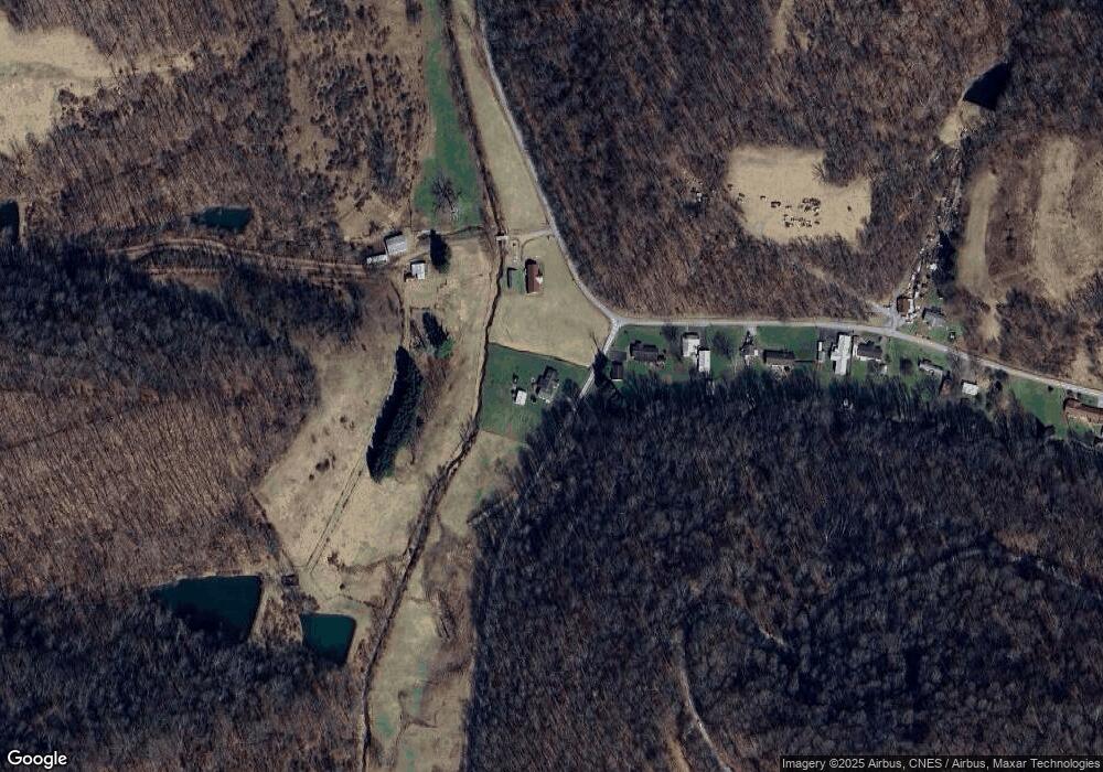
Map
Nearby Homes
- 53 Saint Leo Rd
- 1931 Saint Leo Rd
- 8541 Mason Dixon Hwy
- TBD White Creek
- 832 Church Fork Rd
- 24 and 24.1 Pyles Fork Rd
- 135 Oak Forest Rd
- 1742 Rush Run Rd
- 1125 Toms Run Rd
- 808 Rush Run Rd
- 223 Dudley Fork Rd
- 119 Blockhouse Rd
- 104 Renner Creek Rd
- 4506 Daybrook Rd
- TBD Daybrook Rd
- 417 Main St
- Rd Unit Lot WP001
- 106 Madison St
- 106 Carnegie Ln
- TBD Rush Run Rd
- 236 Wadestown Rd
- 194 Wadestown Rd
- 252 Wadestown Rd
- 270 Wadestown Rd
- 276 Wadestown Rd
- 291 Wadestown Rd
- 110 Wadestown Rd
- 1901 Range Rd
- 368 Wadestown Rd
- 1893 Range Rd
- 42 Wadestown Rd
- 1867 Range Rd
- 1902 Range Rd
- 127 Saint Leo Rd
- 1 Range Rd
- 29 Wadestown Loop Rd
- 16 Wadestown Rd
- 17 Wadestown Rd
- 10 Wadestown Rd
- 10 Wadestown Rd