224 Adams Rd New Braintree, MA 01531
Estimated Value: $410,000 - $466,000
2
Beds
1
Bath
2,259
Sq Ft
$197/Sq Ft
Est. Value
About This Home
This home is located at 224 Adams Rd, New Braintree, MA 01531 and is currently estimated at $445,691, approximately $197 per square foot. 224 Adams Rd is a home located in Worcester County with nearby schools including Quabbin Regional Middle School and Quabbin Regional High School.
Ownership History
Date
Name
Owned For
Owner Type
Purchase Details
Closed on
Dec 19, 2017
Sold by
Adams Richard P Est
Bought by
Thistle Rock Farm Llc
Current Estimated Value
Home Financials for this Owner
Home Financials are based on the most recent Mortgage that was taken out on this home.
Original Mortgage
$262,000
Outstanding Balance
$220,581
Interest Rate
3.94%
Mortgage Type
New Conventional
Estimated Equity
$225,110
Purchase Details
Closed on
Jan 1, 1981
Bought by
Adams Richard P
Create a Home Valuation Report for This Property
The Home Valuation Report is an in-depth analysis detailing your home's value as well as a comparison with similar homes in the area
Home Values in the Area
Average Home Value in this Area
Purchase History
| Date | Buyer | Sale Price | Title Company |
|---|---|---|---|
| Thistle Rock Farm Llc | $250,000 | -- | |
| In East Quabbin Land T | $200,000 | -- | |
| Adams Richard P | -- | -- |
Source: Public Records
Mortgage History
| Date | Status | Borrower | Loan Amount |
|---|---|---|---|
| Open | Thistle Rock Farm Llc | $262,000 |
Source: Public Records
Tax History Compared to Growth
Tax History
| Year | Tax Paid | Tax Assessment Tax Assessment Total Assessment is a certain percentage of the fair market value that is determined by local assessors to be the total taxable value of land and additions on the property. | Land | Improvement |
|---|---|---|---|---|
| 2025 | $48 | $325,800 | $57,300 | $268,500 |
| 2024 | $7,728 | $531,500 | $57,300 | $474,200 |
| 2023 | $7,479 | $509,500 | $57,300 | $452,200 |
| 2022 | $7,423 | $456,800 | $45,500 | $411,300 |
| 2021 | $7,793 | $446,100 | $42,700 | $403,400 |
| 2020 | $7,725 | $446,000 | $42,700 | $403,300 |
| 2019 | $7,582 | $446,000 | $42,700 | $403,300 |
| 2018 | $7,440 | $423,700 | $49,700 | $374,000 |
| 2017 | $7,074 | $391,700 | $53,600 | $338,100 |
| 2016 | $6,786 | $390,000 | $51,900 | $338,100 |
| 2015 | $6,681 | $411,400 | $58,500 | $352,900 |
| 2014 | $6,420 | $392,900 | $50,900 | $342,000 |
Source: Public Records
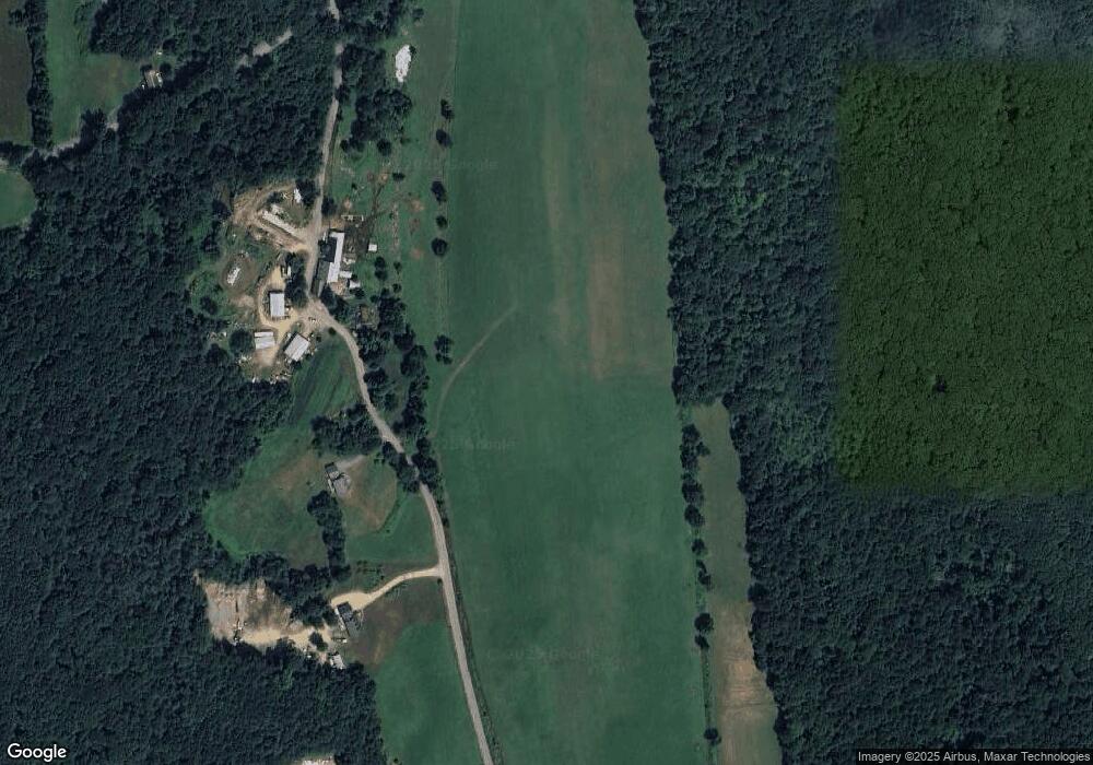
Map
Nearby Homes
- 379 Adams Rd
- 1109 New Braintree Rd
- 241 N Brookfield Rd
- 76 N Brookfield Rd
- 1940 Barre Rd
- 716 Hardwick Rd
- 38-3 Edson
- 103 Barre Rd
- 21 Spencer Rd
- 49 Oak Ln
- 926 Old Turnpike Rd
- 38 Edson Rd
- 356 Hunt Rd
- 621 Woods Rd
- 449 Hunt Rd
- Lot 38 Edson Rd
- 13 Washburn Terrace
- 58 Ruggles St
- 10 Rufus Putnam Rd
- 106 Peach St
- 201 Adams Rd
- 1575 Oakham Rd
- 1543 New Braintree Rd
- 169 Adams Rd
- 1659 Oakham Rd
- 1670 Oakham Rd
- 1675 Oakham Rd
- 421 Worcester Rd
- 1287 New Braintree Rd
- 76 Millstone Rd
- 1455 Oakham Rd
- 75 Millstone Rd
- 1298 New Braintree Rd
- 1251 New Braintree Rd
- 51 Millstone Rd
- 1241 New Braintree Rd
- 1228 New Braintree Rd
- 26 Adams Rd
- 291 Worcester Rd
- 335 Worcester Rd