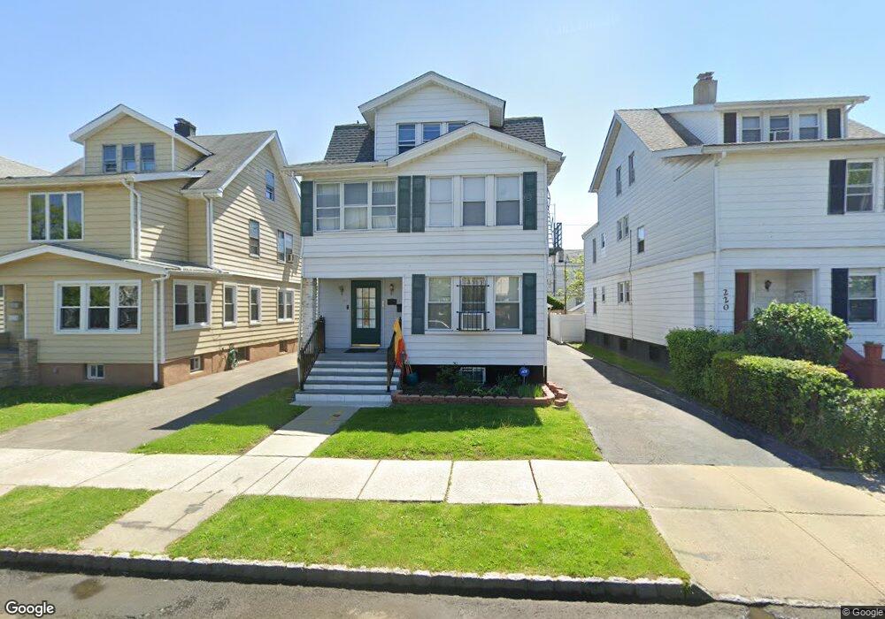
224 Ampere Pkwy Bloomfield, NJ 07003
Estimated Value: $590,250 - $727,000
Studio
--
Bath
2,468
Sq Ft
$278/Sq Ft
Est. Value
About This Home
This home is located at 224 Ampere Pkwy, Bloomfield, NJ 07003 and is currently estimated at $686,813, approximately $278 per square foot. 224 Ampere Pkwy is a home located in Essex County with nearby schools including Carteret School, Bloomfield Middle School, and Bloomfield High School.
Ownership History
Date
Name
Owned For
Owner Type
Purchase Details
Closed on
Jun 28, 1995
Sold by
Denoia Philip
Bought by
Rambahal Poorandaya and Rambahal Omadath
Current Estimated Value
Home Financials for this Owner
Home Financials are based on the most recent Mortgage that was taken out on this home.
Original Mortgage
$144,000
Interest Rate
7.49%
Mortgage Type
FHA
Create a Home Valuation Report for This Property
The Home Valuation Report is an in-depth analysis detailing your home's value as well as a comparison with similar homes in the area
Home Values in the Area
Average Home Value in this Area
Purchase History
| Date | Buyer | Sale Price | Title Company |
|---|---|---|---|
| Rambahal Poorandaya | $161,000 | -- |
Source: Public Records
Mortgage History
| Date | Status | Borrower | Loan Amount |
|---|---|---|---|
| Closed | Rambahal Poorandaya | $144,000 |
Source: Public Records
Tax History
| Year | Tax Paid | Tax Assessment Tax Assessment Total Assessment is a certain percentage of the fair market value that is determined by local assessors to be the total taxable value of land and additions on the property. | Land | Improvement |
|---|---|---|---|---|
| 2025 | $11,663 | $356,900 | $94,200 | $262,700 |
| 2024 | $11,663 | $356,900 | $94,200 | $262,700 |
| 2022 | $11,428 | $356,900 | $94,200 | $262,700 |
| 2021 | $11,217 | $356,900 | $94,200 | $262,700 |
| 2020 | $11,046 | $356,900 | $94,200 | $262,700 |
| 2019 | $11,517 | $289,300 | $93,000 | $196,300 |
| 2018 | $11,468 | $289,300 | $93,000 | $196,300 |
| 2017 | $11,294 | $289,300 | $93,000 | $196,300 |
| 2016 | $11,167 | $289,300 | $93,000 | $196,300 |
| 2015 | $11,066 | $289,300 | $93,000 | $196,300 |
| 2014 | $10,863 | $289,300 | $93,000 | $196,300 |
Source: Public Records
Map
Nearby Homes
- 228 Ampere Pkwy
- 220 Ampere Pkwy
- 218 Ampere Pkwy Unit 1
- 218 Ampere Pkwy Unit 2
- 230 Ampere Pkwy
- 230 Ampere Pkwy Unit 3
- 230 Ampere Pkwy Unit 2
- 0 Beardley Ave
- 209 N 17th St
- 211 N 17th St
- 207 N 17th St
- 216 Ampere Pkwy
- 232 Ampere Pkwy
- 213 N 17th St
- 213 N 17th St Unit First Floor
- 205 N 17th St
- 205 N 17th St Unit 2
- 215 N 17th St
- 201 N 17th St
- 214 Ampere Pkwy
Your Personal Tour Guide
Ask me questions while you tour the home.