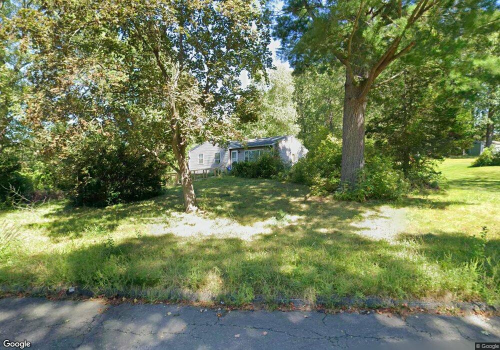
224 Brookside Cir Florence, MA 01062
Florence NeighborhoodEstimated Value: $367,000 - $400,000
3
Beds
1
Bath
1,062
Sq Ft
$357/Sq Ft
Est. Value
About This Home
This home is located at 224 Brookside Cir, Florence, MA 01062 and is currently estimated at $378,849, approximately $356 per square foot. 224 Brookside Cir is a home located in Hampshire County with nearby schools including Northampton High School and Hilltown Cooperative Charter Public School.
Ownership History
Date
Name
Owned For
Owner Type
Purchase Details
Closed on
Nov 30, 1994
Sold by
Bellavance Beverly and Bellavance Phillipee
Bought by
White Jean A
Current Estimated Value
Create a Home Valuation Report for This Property
The Home Valuation Report is an in-depth analysis detailing your home's value as well as a comparison with similar homes in the area
Home Values in the Area
Average Home Value in this Area
Purchase History
We collect this data history from publicly available records. To have your information removed, we recommend requesting removal directly through your county’s website.
| Date | Buyer | Sale Price | Title Company |
|---|---|---|---|
| White Jean A | $100,000 | -- |
Source: Public Records
Mortgage History
We collect this data history from publicly available records. To have your information removed, we recommend requesting removal directly through your county’s website.
| Date | Status | Borrower | Loan Amount |
|---|---|---|---|
| Previous Owner | White Jean A | $70,000 |
Source: Public Records
Tax History
| Year | Tax Paid | Tax Assessment Tax Assessment Total Assessment is a certain percentage of the fair market value that is determined by local assessors to be the total taxable value of land and additions on the property. | Land | Improvement |
|---|---|---|---|---|
| 2025 | $4,504 | $323,300 | $125,200 | $198,100 |
| 2024 | $4,460 | $293,600 | $125,200 | $168,400 |
| 2023 | $3,798 | $239,800 | $113,700 | $126,100 |
| 2022 | $4,000 | $223,600 | $113,700 | $109,900 |
| 2021 | $3,519 | $202,600 | $108,700 | $93,900 |
| 2020 | $3,404 | $202,600 | $108,700 | $93,900 |
| 2019 | $3,144 | $181,000 | $93,700 | $87,300 |
| 2018 | $3,079 | $180,700 | $93,700 | $87,000 |
| 2017 | $3,016 | $180,700 | $93,700 | $87,000 |
| 2016 | $2,920 | $180,700 | $93,700 | $87,000 |
| 2015 | $2,906 | $183,900 | $93,700 | $90,200 |
| 2014 | $2,830 | $183,900 | $93,700 | $90,200 |
Source: Public Records
Map
Nearby Homes
- 723 Lot B Ryan Rd
- 142 Spruce Hill Ave
- 635 Florence Rd
- 42 Clark St
- 44 Westhampton Rd
- 0 W Farms Rd
- 404 Sylvester Rd
- 296 Old Wilson Rd
- 20-11 Sylvester Rd
- 33 Landy Ave
- 1024 Westhampton Rd
- 76 Maple St
- 41 N Main St
- 67 Milton St
- 267 Locust St Unit 1A
- 106 Chestnut St
- 25 Ballard St
- 14 Garfield St Unit A1
- 14 Garfield St Unit A2
- 78 Forbes Ave
- 232 Brookside Cir
- 11 Overlook Dr
- 4 Overlook Dr
- 240 Brookside Cir
- 223 Brookside Cir
- 231 Brookside Cir
- 215 Brookside Cir
- 20 Overlook Dr
- 23 Overlook Dr
- 202 Brookside Cir
- 248 Brookside Cir
- 207 Brookside Cir
- 239 Brookside Cir
- 28 Longview Dr
- 31 Overlook Dr
- 30 Overlook Dr
- 12 Longview Dr
- 247 Brookside Cir
- 20 Longview Dr
- 20 Longview Dr Unit 1
Your Personal Tour Guide
Ask me questions while you tour the home.