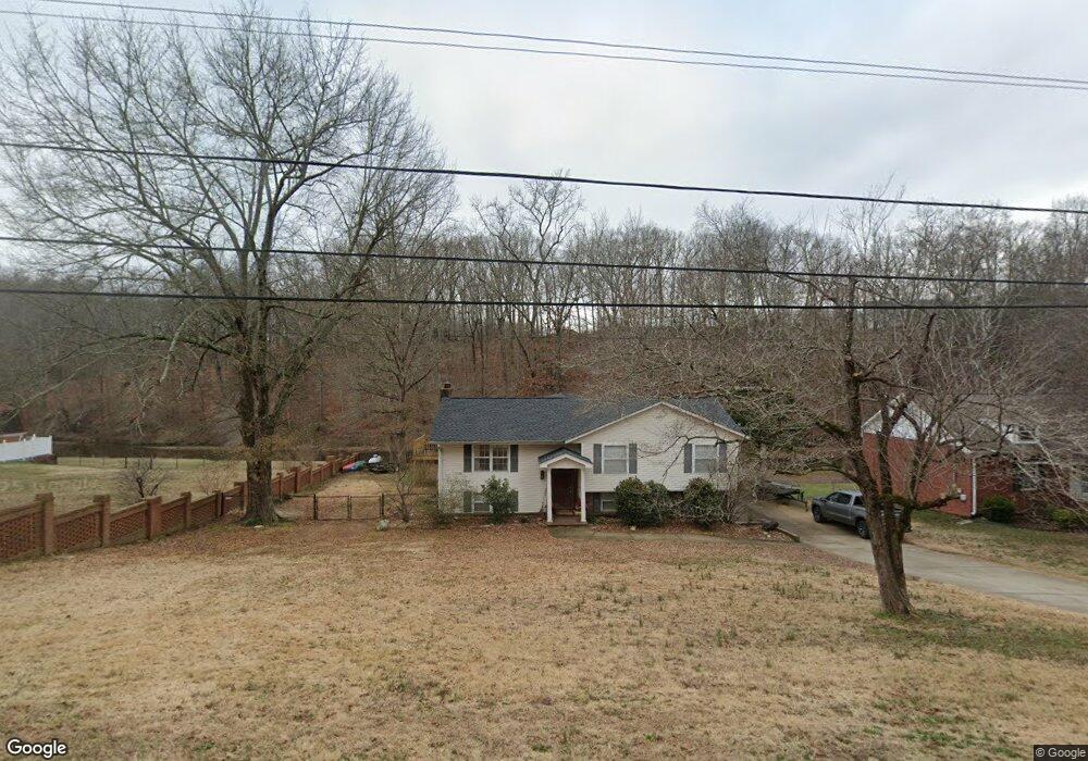
224 Brookside Dr Killen, AL 35645
Estimated Value: $249,949 - $301,000
Studio
1
Bath
2,290
Sq Ft
$118/Sq Ft
Est. Value
About This Home
This home is located at 224 Brookside Dr, Killen, AL 35645 and is currently estimated at $270,487, approximately $118 per square foot. 224 Brookside Dr is a home located in Lauderdale County with nearby schools including Brooks Elementary School and Underwood Elementary School.
Ownership History
Date
Name
Owned For
Owner Type
Purchase Details
Closed on
Nov 4, 2010
Sold by
Albert Ryan and Albert Tisha
Bought by
5 Star Properties Llc
Current Estimated Value
Home Financials for this Owner
Home Financials are based on the most recent Mortgage that was taken out on this home.
Original Mortgage
$126,000
Outstanding Balance
$82,182
Interest Rate
4.2%
Mortgage Type
Purchase Money Mortgage
Estimated Equity
$188,305
Purchase Details
Closed on
May 5, 2005
Sold by
Mashburn Kerry R and Mashburn Anita G
Bought by
Albert Ryan D and Albert Tisha C
Create a Home Valuation Report for This Property
The Home Valuation Report is an in-depth analysis detailing your home's value as well as a comparison with similar homes in the area
Home Values in the Area
Average Home Value in this Area
Purchase History
| Date | Buyer | Sale Price | Title Company |
|---|---|---|---|
| 5 Star Properties Llc | -- | -- | |
| Albert Ryan D | -- | -- |
Source: Public Records
Mortgage History
| Date | Status | Borrower | Loan Amount |
|---|---|---|---|
| Open | 5 Star Properties Llc | $126,000 |
Source: Public Records
Tax History
| Year | Tax Paid | Tax Assessment Tax Assessment Total Assessment is a certain percentage of the fair market value that is determined by local assessors to be the total taxable value of land and additions on the property. | Land | Improvement |
|---|---|---|---|---|
| 2025 | $884 | $25,100 | $0 | $0 |
| 2024 | $884 | $23,460 | $1,140 | $22,320 |
| 2023 | $828 | $1,140 | $1,140 | $0 |
| 2022 | $788 | $19,400 | $0 | $0 |
| 2021 | $712 | $17,560 | $0 | $0 |
| 2020 | $896 | $22,040 | $0 | $0 |
| 2019 | $890 | $21,880 | $0 | $0 |
| 2018 | $822 | $20,240 | $0 | $0 |
| 2017 | $822 | $20,240 | $0 | $0 |
| 2016 | $779 | $19,180 | $0 | $0 |
| 2015 | $728 | $17,940 | $0 | $0 |
| 2014 | $831 | $20,460 | $0 | $0 |
Source: Public Records
Map
Nearby Homes
- 233 Brookside Dr
- 55 Spinnaker Ln
- 964 Joan Ln
- 1008 Brookhill Dr
- 00 Highway 72
- 0 County Road 465
- 318 Shaler Dr
- 538 Heron Cove Rd
- 0 Heron CV Rd Unit 525440
- 58 Cole Creek Cove
- 88 Cole Creek Cove
- 132 Cole Creek Cove
- 0 Simpson St
- 0 Locke Six Rd Unit LOT 18 516792
- 000 Locke Six Rd Unit Lot 80
- 000 Locke Six Rd Unit Lot 46
- 000 Locke Six Rd Unit Lot 19
- 000 Locke Six Rd Unit 45
- 000 Locke Six Rd Unit LOT 7
- 145 Harbor Close
- 220 Brookside Dr
- 232 Brookside Dr
- 216 Brookside Dr
- 219 Brookside Dr
- 212 Brookside Dr
- 227 Brookside Dr
- 208 Brookside Dr
- 240 Brookside Dr
- 305 Shoreline Dr
- 205 Brookside Dr
- 235 Brookside Dr
- 204 Brookside Dr
- 350 Shoreline Dr
- 420 Shoreline Dr
- 940 Joan Ln
- 940 Joan Ln
- 940 Joan Ln
- 244 Brookside Dr
- 239 Brookside Dr
- 328 Shoreline Dr
Your Personal Tour Guide
Ask me questions while you tour the home.