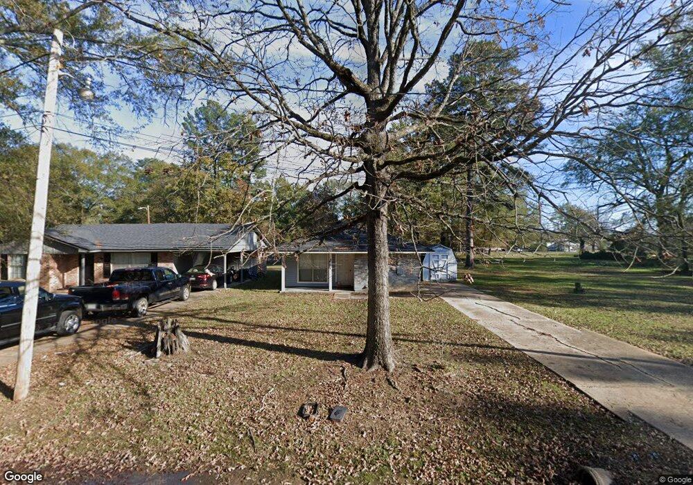
224 Carrier Ave Benton, LA 71006
Estimated Value: $110,000 - $155,000
3
Beds
1
Bath
1,074
Sq Ft
$121/Sq Ft
Est. Value
About This Home
This home is located at 224 Carrier Ave, Benton, LA 71006 and is currently estimated at $130,451, approximately $121 per square foot. 224 Carrier Ave is a home located in Bossier Parish with nearby schools including Benton Elementary School, Benton Middle School, and Benton High School.
Ownership History
Date
Name
Owned For
Owner Type
Purchase Details
Closed on
May 28, 2023
Sold by
Oswalt Joseph Bryan
Bought by
Oswalt Mallory
Current Estimated Value
Purchase Details
Closed on
May 25, 2023
Sold by
Oswalt Joseph Bryan
Bought by
Oswalt John
Purchase Details
Closed on
Oct 20, 2018
Sold by
Oswalt Joseph B
Bought by
Oswalt Joseph B and Oswalt Tonya H
Home Financials for this Owner
Home Financials are based on the most recent Mortgage that was taken out on this home.
Original Mortgage
$74,250
Interest Rate
4.6%
Mortgage Type
New Conventional
Purchase Details
Closed on
Feb 21, 2007
Sold by
Rose David W and Rose David Wayne
Bought by
Wells Fargo Bank Na
Purchase Details
Closed on
Oct 30, 2006
Sold by
Wells Fargo Bank Na
Bought by
Oswalt Joseph B
Home Financials for this Owner
Home Financials are based on the most recent Mortgage that was taken out on this home.
Original Mortgage
$53,165
Interest Rate
6.4%
Mortgage Type
Unknown
Create a Home Valuation Report for This Property
The Home Valuation Report is an in-depth analysis detailing your home's value as well as a comparison with similar homes in the area
Home Values in the Area
Average Home Value in this Area
Purchase History
| Date | Buyer | Sale Price | Title Company |
|---|---|---|---|
| Oswalt Mallory | -- | None Listed On Document | |
| Oswalt John | -- | None Listed On Document | |
| Oswalt Joseph B | -- | -- | |
| Wells Fargo Bank Na | -- | None Available | |
| Oswalt Joseph B | $54,000 | None Available |
Source: Public Records
Mortgage History
| Date | Status | Borrower | Loan Amount |
|---|---|---|---|
| Previous Owner | Oswalt Joseph B | $74,250 | |
| Previous Owner | Oswalt Joseph B | $53,165 |
Source: Public Records
Tax History Compared to Growth
Tax History
| Year | Tax Paid | Tax Assessment Tax Assessment Total Assessment is a certain percentage of the fair market value that is determined by local assessors to be the total taxable value of land and additions on the property. | Land | Improvement |
|---|---|---|---|---|
| 2024 | $113 | $7,090 | $600 | $6,490 |
| 2023 | $114 | $6,408 | $600 | $5,808 |
| 2022 | $114 | $6,408 | $600 | $5,808 |
| 2021 | $114 | $6,408 | $600 | $5,808 |
| 2020 | $36 | $6,408 | $600 | $5,808 |
| 2019 | $36 | $6,520 | $600 | $5,920 |
| 2018 | $36 | $6,520 | $600 | $5,920 |
| 2017 | $84 | $6,520 | $600 | $5,920 |
| 2016 | $84 | $6,520 | $600 | $5,920 |
| 2015 | $112 | $6,080 | $600 | $5,480 |
| 2014 | $112 | $6,080 | $600 | $5,480 |
Source: Public Records
Map
Nearby Homes
- 157 1st St
- 0000 Old Plain Dealing Rd
- 00 Old Plain Dealing Rd
- 1228 Old Plain Dealing Rd
- TBD Pine St
- 900 5th St
- 0 Lincoln Lots 5 + 6 Unit 21049903
- 0 Lincoln Lots 14 15 + 16 Unit 21049972
- 0 Pine
- 515 5th St
- 510 Lee St
- 326 Montgomery Ln
- 105 Cleveland St
- 155 Lola Cir
- 814 Lee St
- 901 Lee St
- 910 Lee St
- 147 Silver Leaf Dr
- 204 Silver Leaf Dr
- 102 Old Bellevue Rd